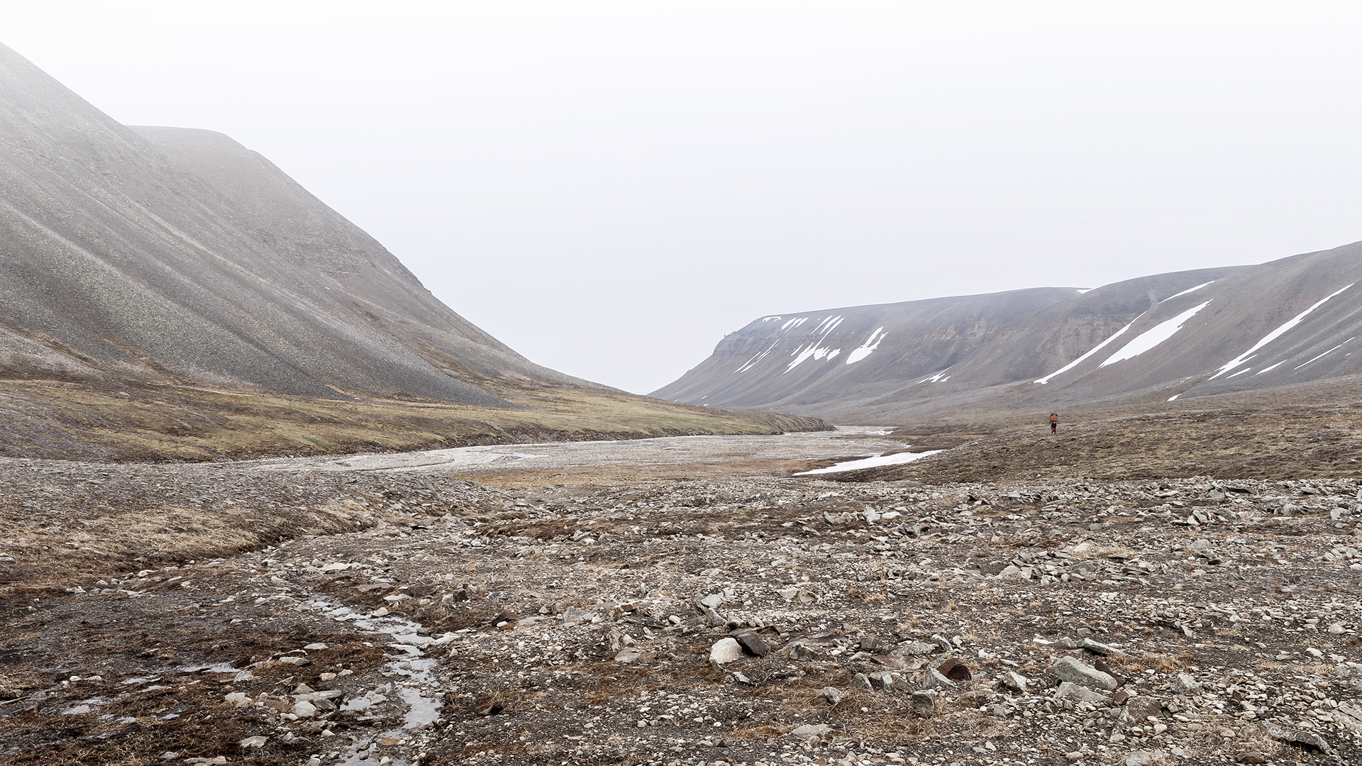
EPISODE 6: From Barentsburg to Longyearbyen
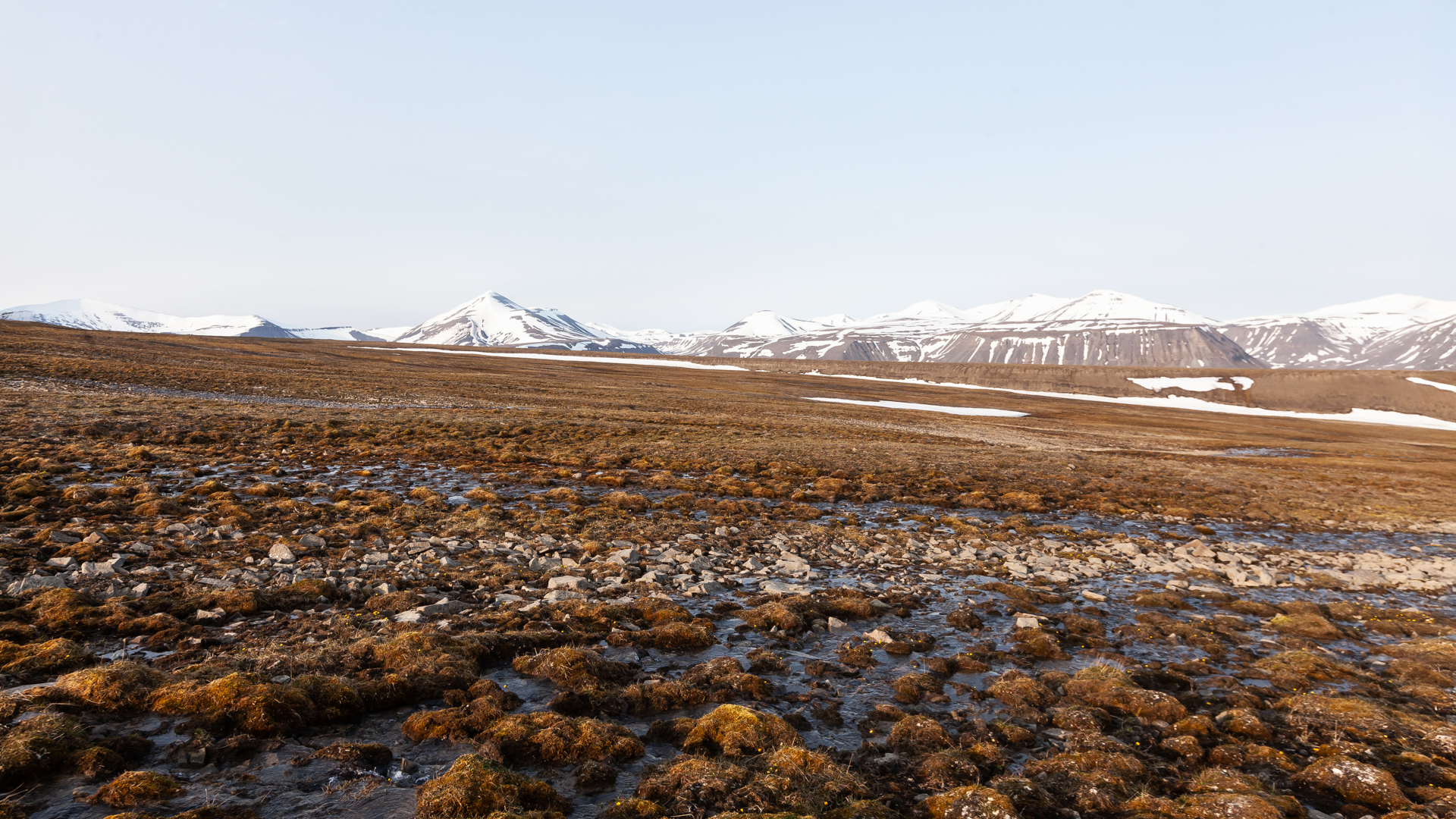
In the heart of the Arctic, between the European mainland 600 kilometers to the south and the North Pole 1,000 kilometers further north, lies the remote archipelago of Svalbard. Over 400 islands, shaped by massive glaciers and fjords that cut deep into the land, form a landscape where polar bears dominate—not only in numbers. A wilderness without roads, cars, or trees, where leaving the settlement is only permitted with a rifle.
It was here, in this harsh and fascinating frontier, that I embarked on a journey with a friend during the summers of 2015 and 2016, taking us deep into Svalbard's history and wilderness.
Our goal: to explore and document the remnants of Svalbard's illustrious mining past. During our journey, we investigated abandoned settlements and mines that had been dormant for decades. This story recounts our multi-day adventure by ship and on foot, taking us from the settlement of Barentsburg to Longyearbyen. Along the way, we discovered abandoned Soviet settlements, the remains of Svalbard's only railway, and overcame challenges that pushed us to our limits—both physically and mentally.
Date
2015
Location
Svalbard
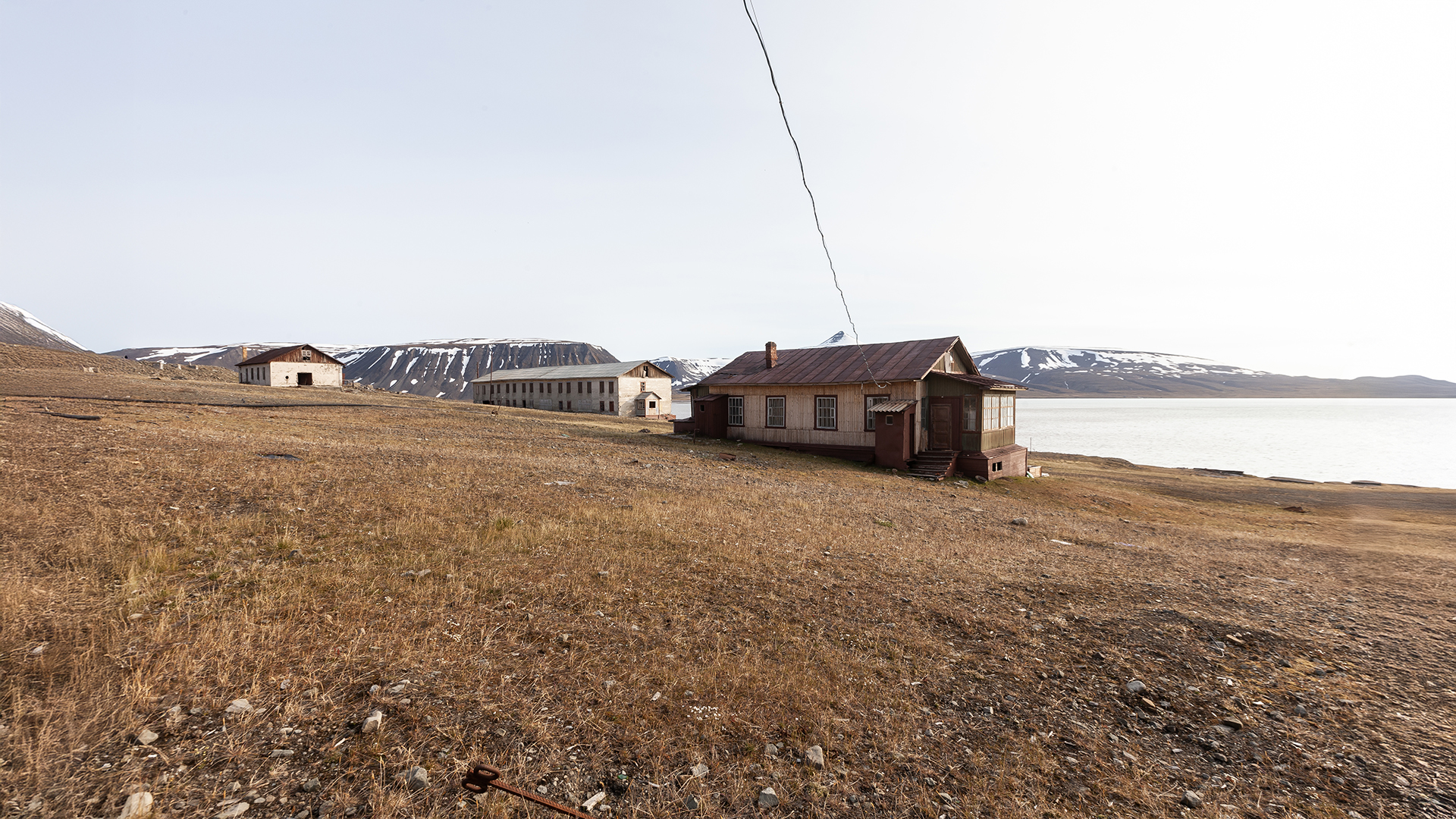
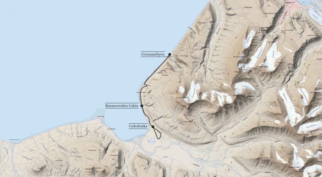
Of the many mines and mining settlements on Svalbard, only two are still inhabited today: the Russian town of Barentsburg and the Norwegian town of Longyearbyen. Both are located on the southern side of the Isfjord, just about 50 kilometers apart. Along the coast between these two locations, there are several abandoned Soviet settlements and mines, including Grumantbyen and Colesbukta.
In the 1950s, Grumantbyen and Colesbukta were the most populous towns on Svalbard, but they were completely abandoned in 1965. With no roads or direct paths leading to these places, the terrain is extremely rugged and traverses polar bear territory, which meant that very few photographs of these sites existed at the time. This made them especially intriguing for us.
After studying maps and satellite images, talking to locals, and making some arrangements with the authorities, we had a plan:
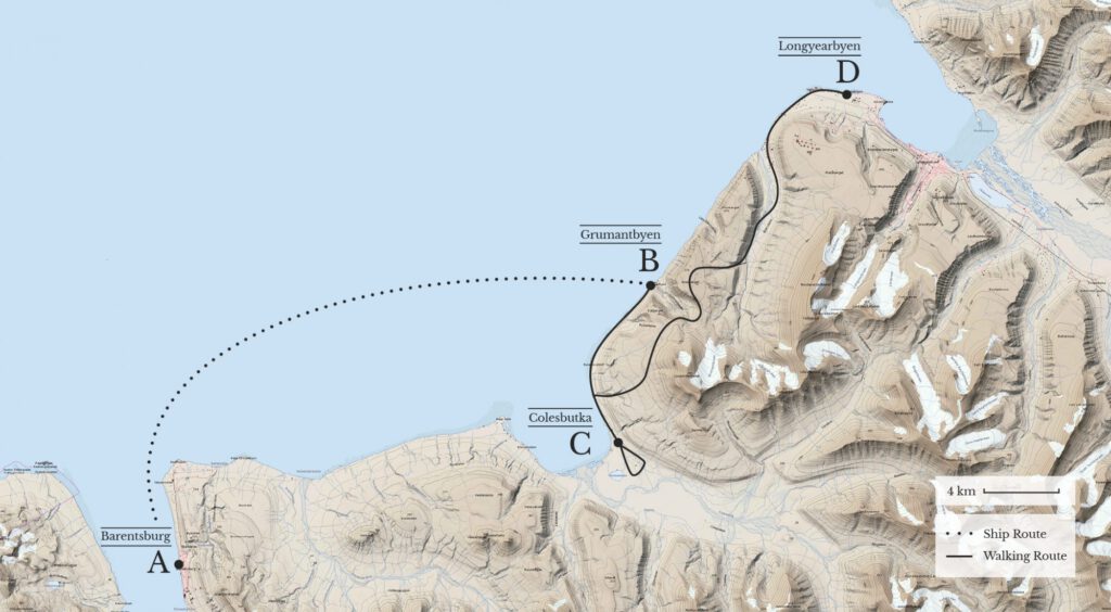
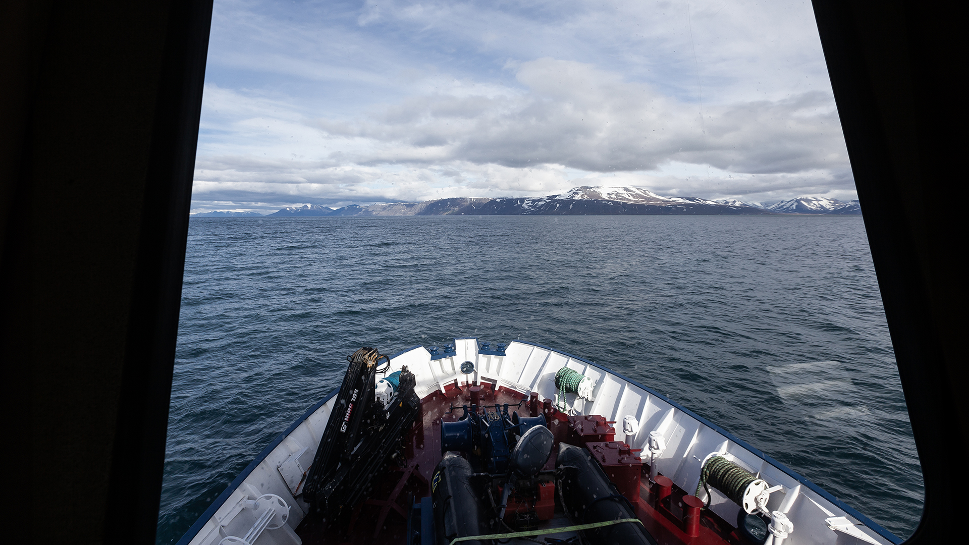
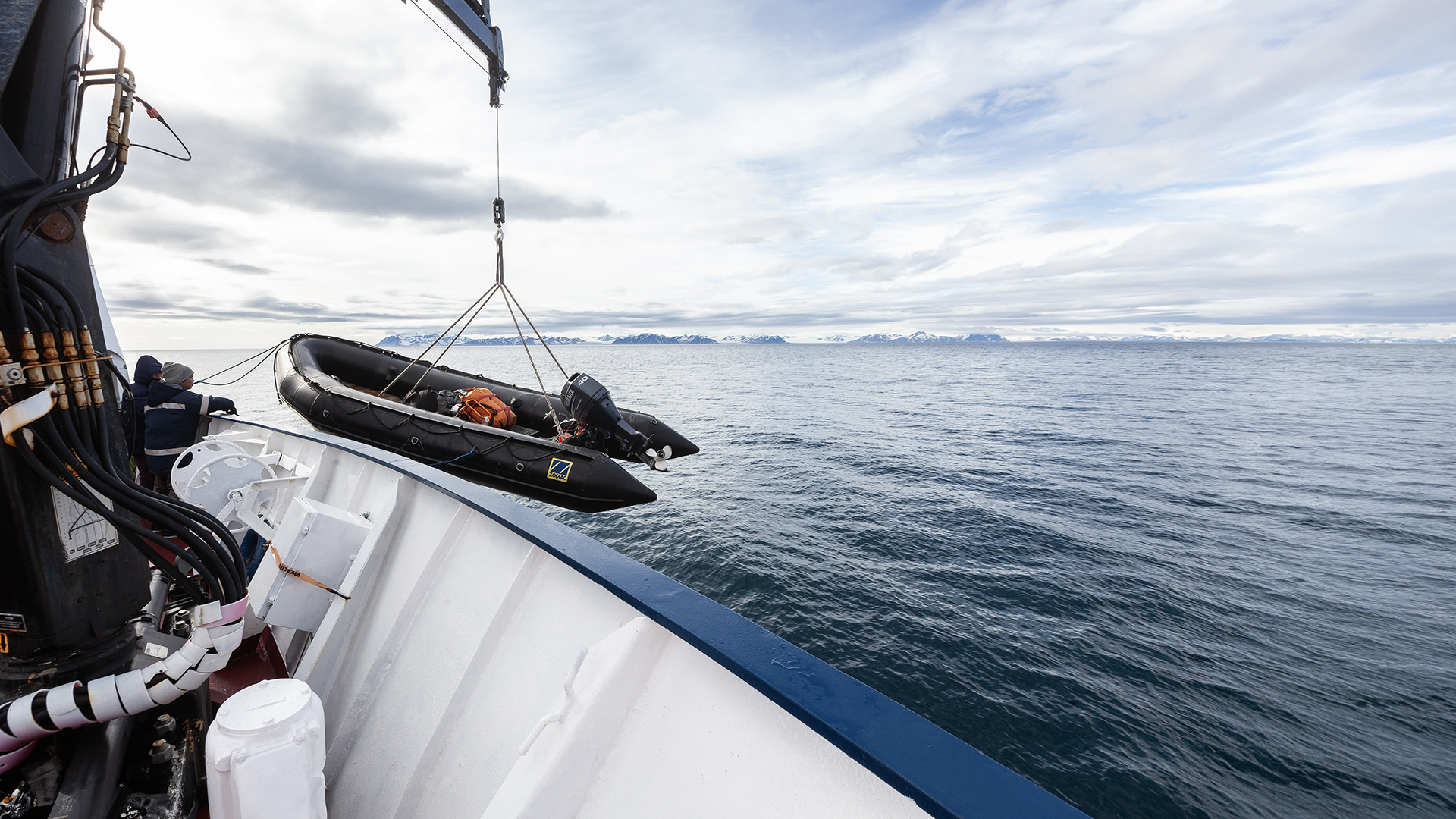
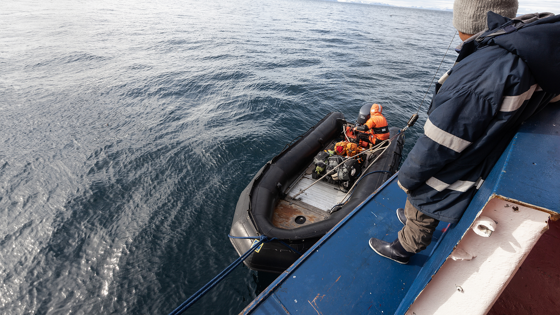
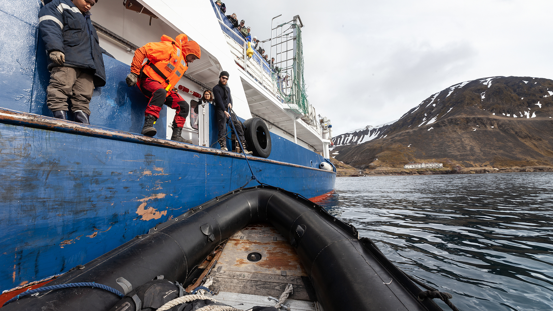
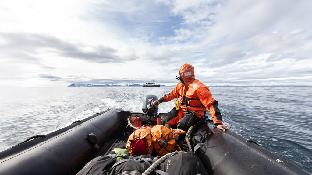
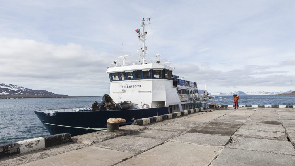
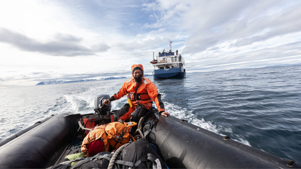
We booked a boat trip on the Billefjord, a tourist cruise ship, from Barentsburg (A) to Longyearbyen (D). The ship was scheduled to stop near Grumantbyen (B) and drop us off at the beach using a small motorboat. From there, we planned to hike south along the coast to Colesbukta (C) and then continue over the mountains back to Longyearbyen.
The challenges we faced included: long hikes through unfamiliar terrain, 35 kg heavy backpacks, numerous river crossings, steep mountains to traverse, moraines, and avoiding encounters with polar bears. Despite many conversations with locals, we couldn’t find anyone who had previously attempted our planned route. As a result, some questions remained unanswered, and we had to address several challenges along the way. The final section of our route back to Longyearbyen, in particular, was loosely planned and heavily dependent on this year’s terrain and weather conditions.
Departure
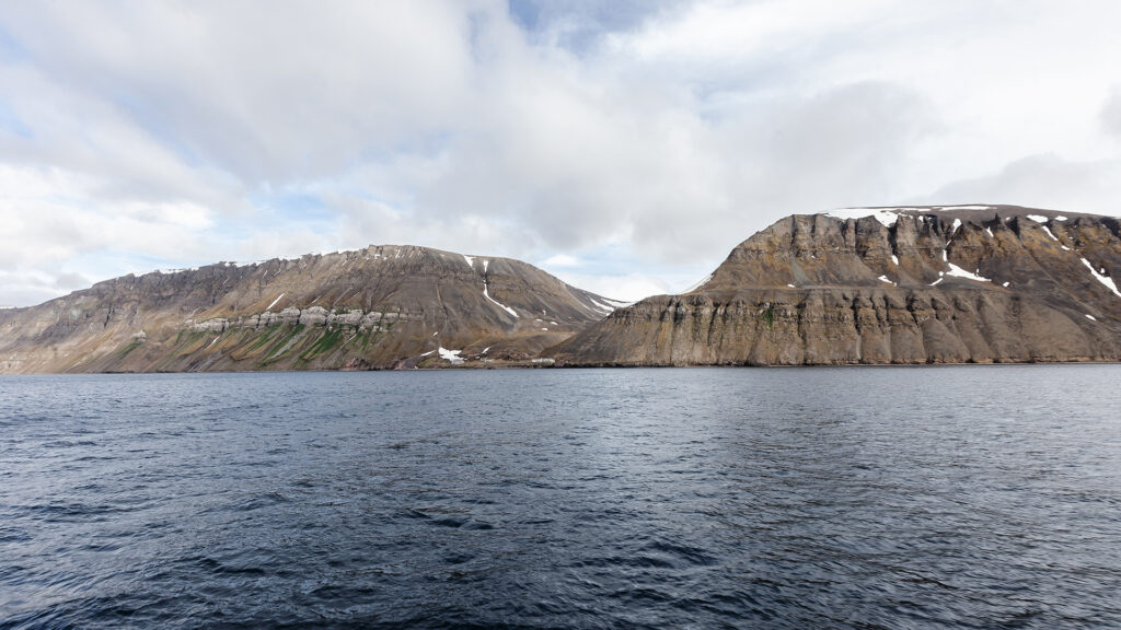
We left Barentsburg at midday and reached our drop-off point after about two hours. A small motorboat brought us to the beach at Grumantbyen. From that moment on, we were completely on our own: no connection to the outside world, no internet, no help. With 35 kilograms of gear, including provisions for several days, a large-caliber rifle with sufficient ammunition for polar bear protection, photography and survival equipment, and a tent, our adventure began. The skeptical look of the boat captain and his ironic remark, “Send me a postcard if you make it back alive,” echoed in our minds as we took our first steps into the ruins of Grumantbyen.
Grumantbyen
| History |
| Grumantbyen was founded in 1913 and, by the 1950s, was the most populous settlement on Svalbard, with over 1,100 residents. Starting in 1926, a narrow-gauge railway — the first and only railway on Svalbard — connected the town to the harbor at Colesbukta, significantly facilitating coal exports. Despite its success in the 1950s, the settlement was unable to sustain itself in the long term. The main mine was closed in 1962 due to unprofitability, and just three years later, in 1965, the last residents left Grumantbyen. |
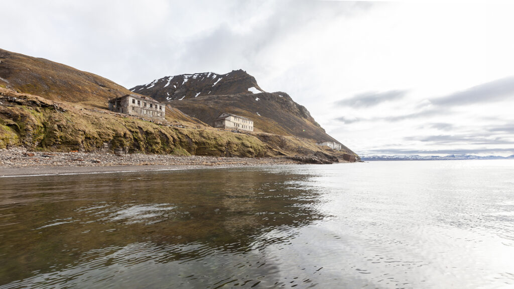
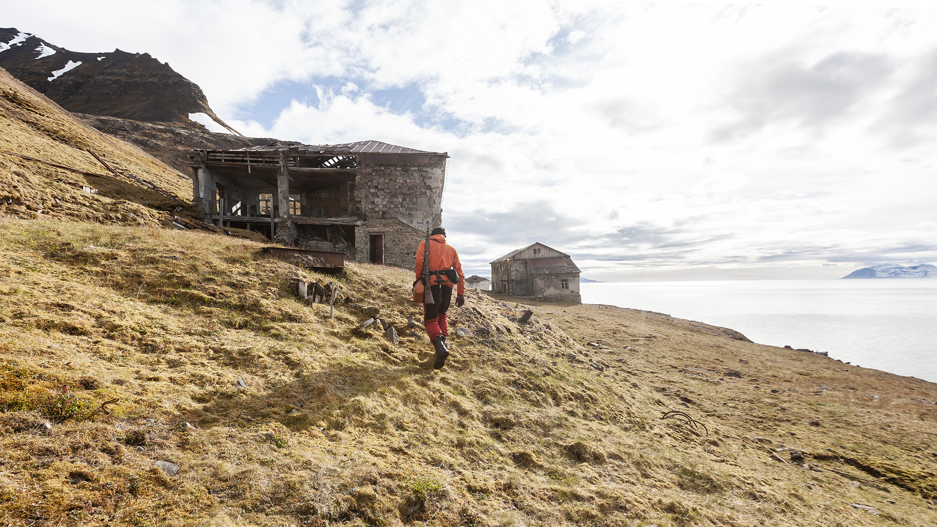
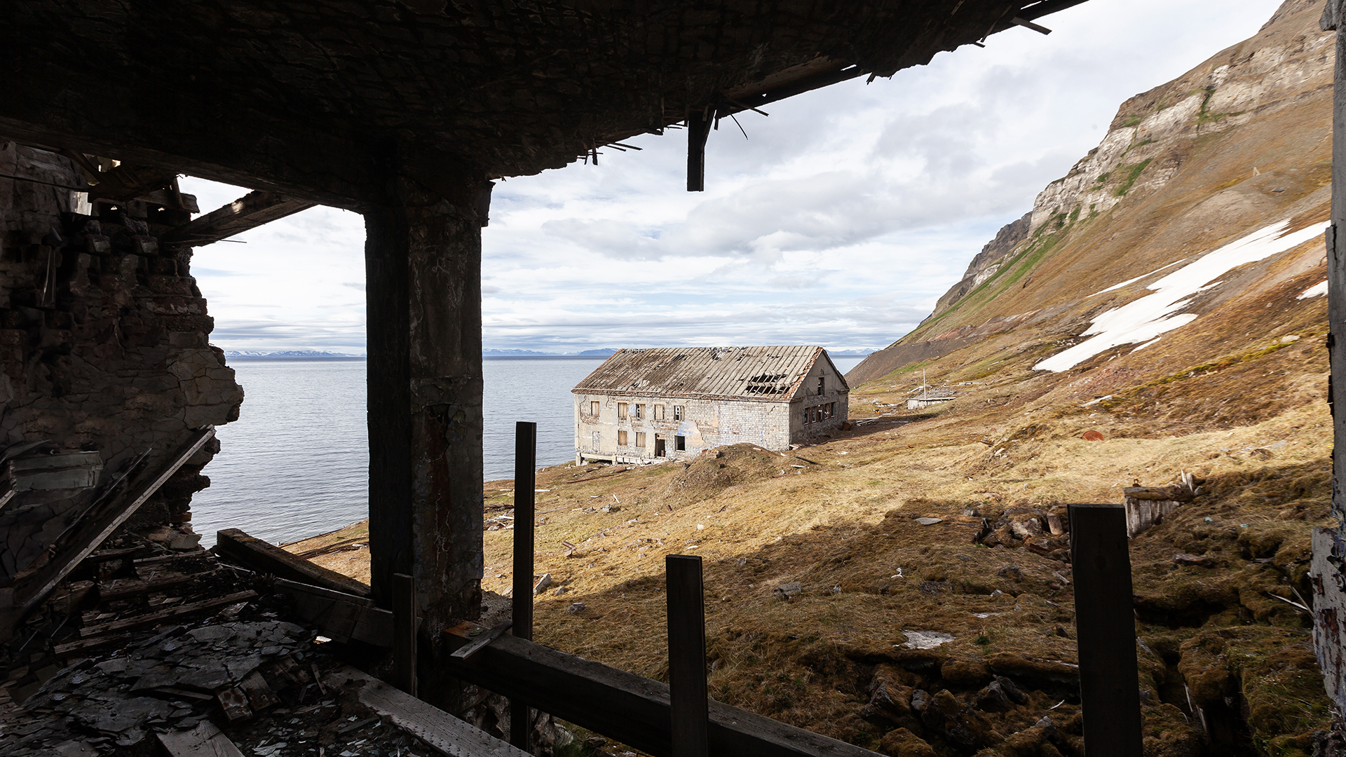
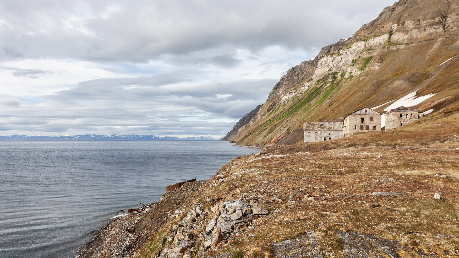
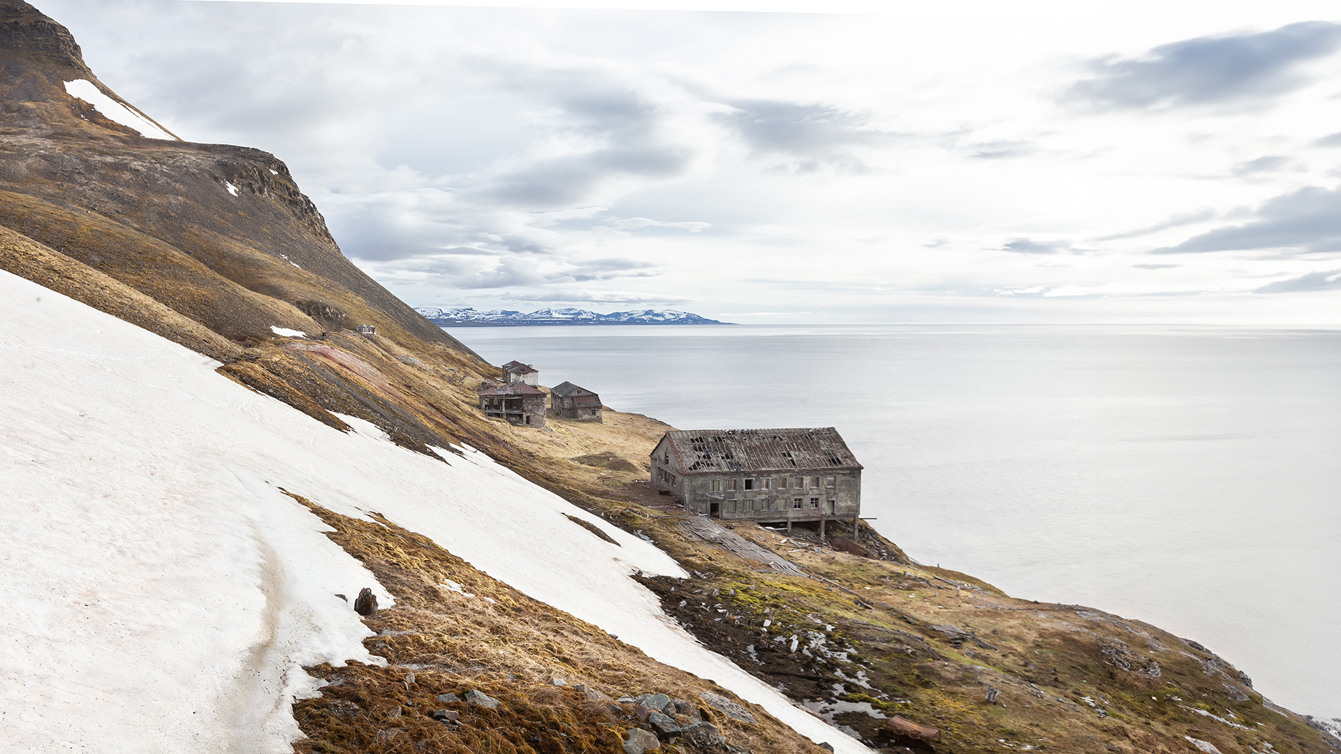
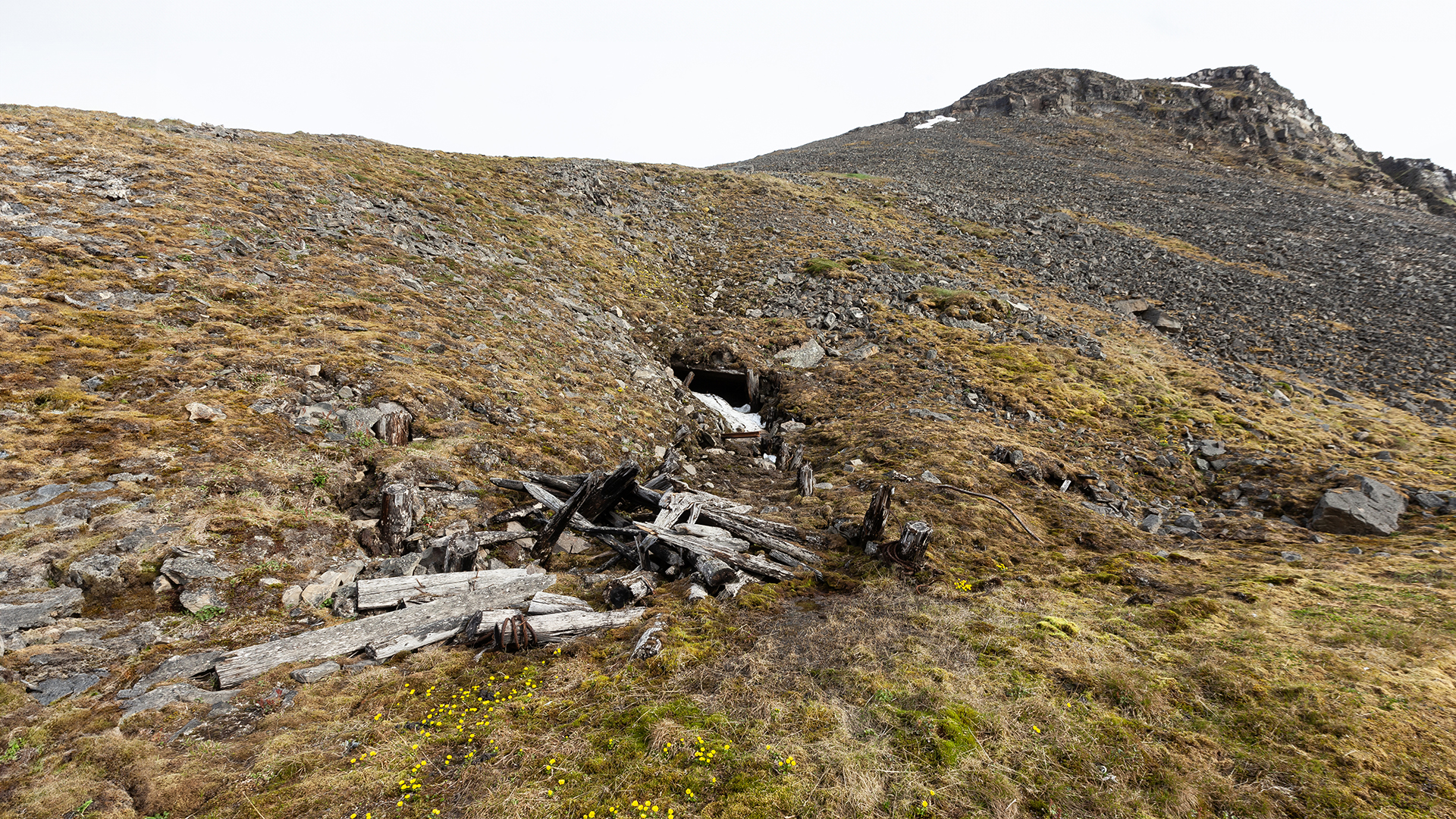
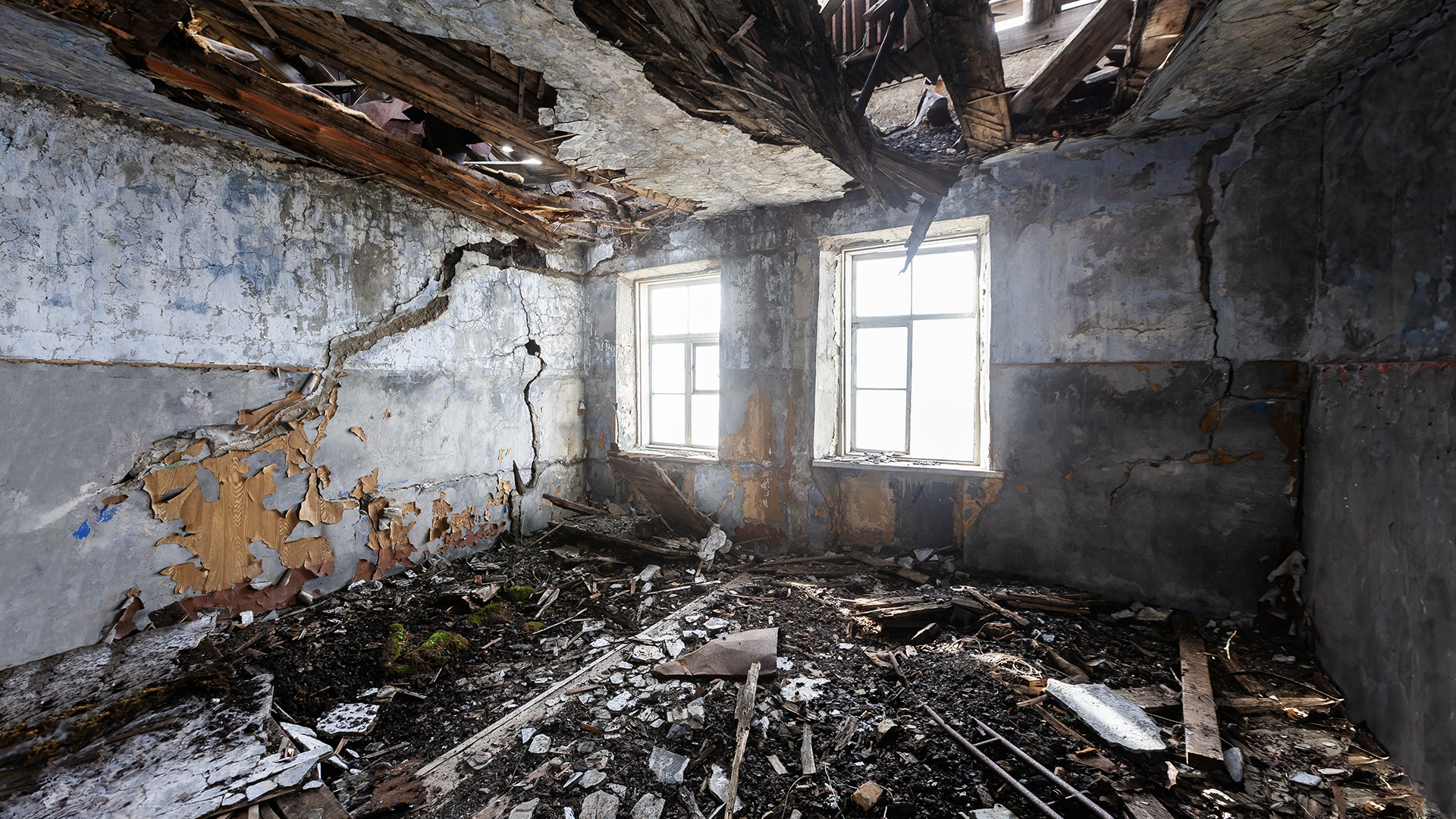
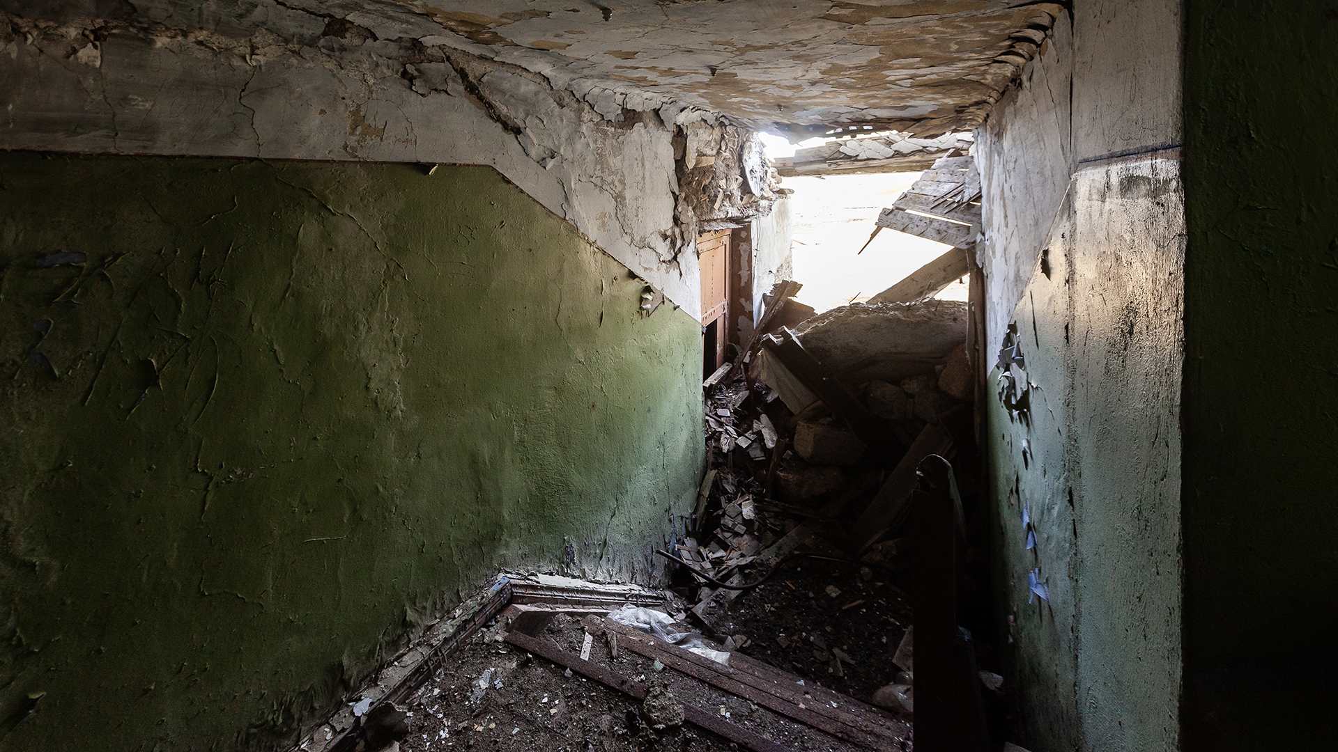
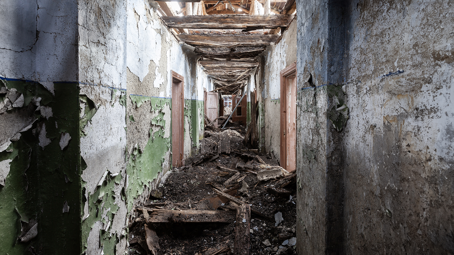
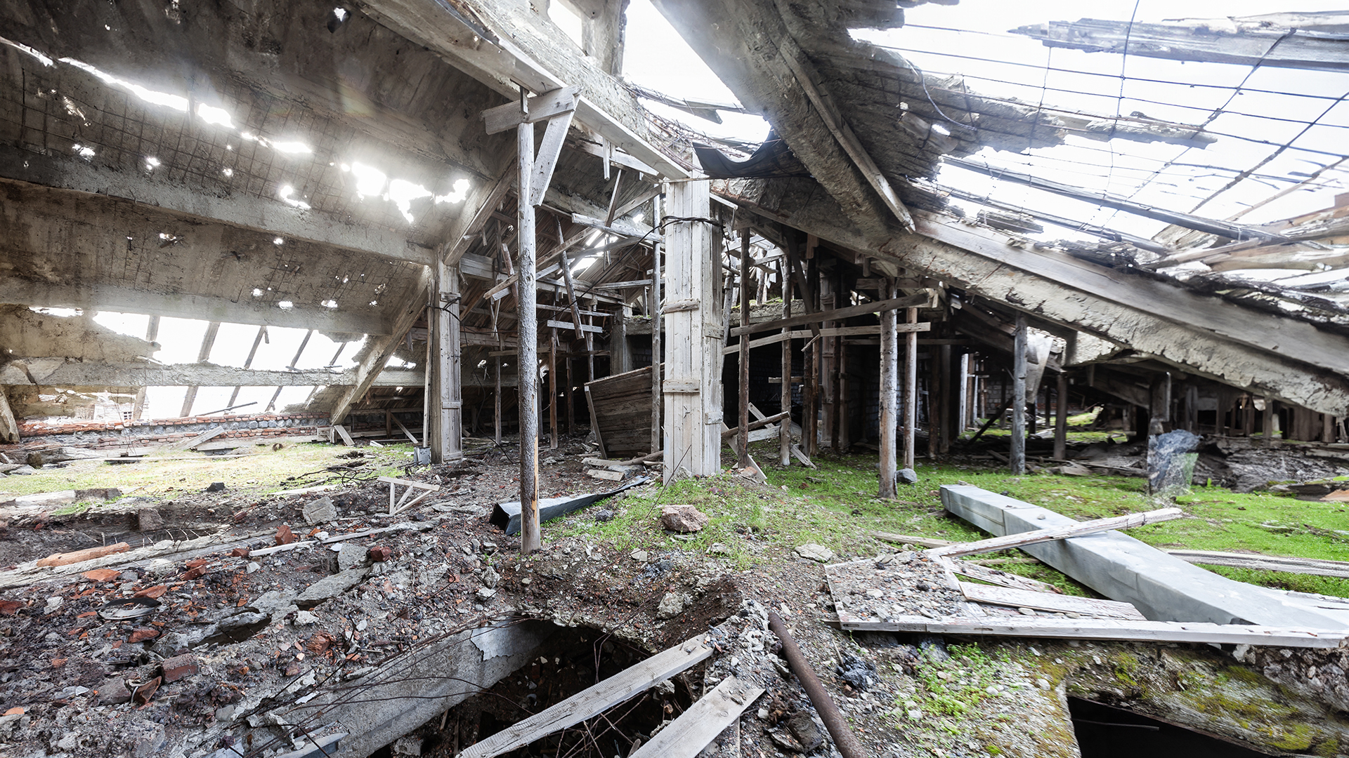
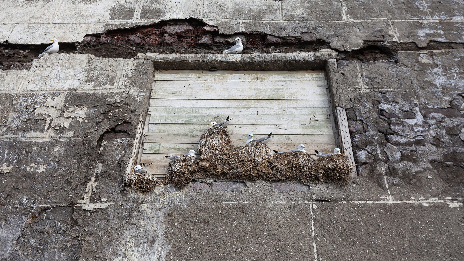
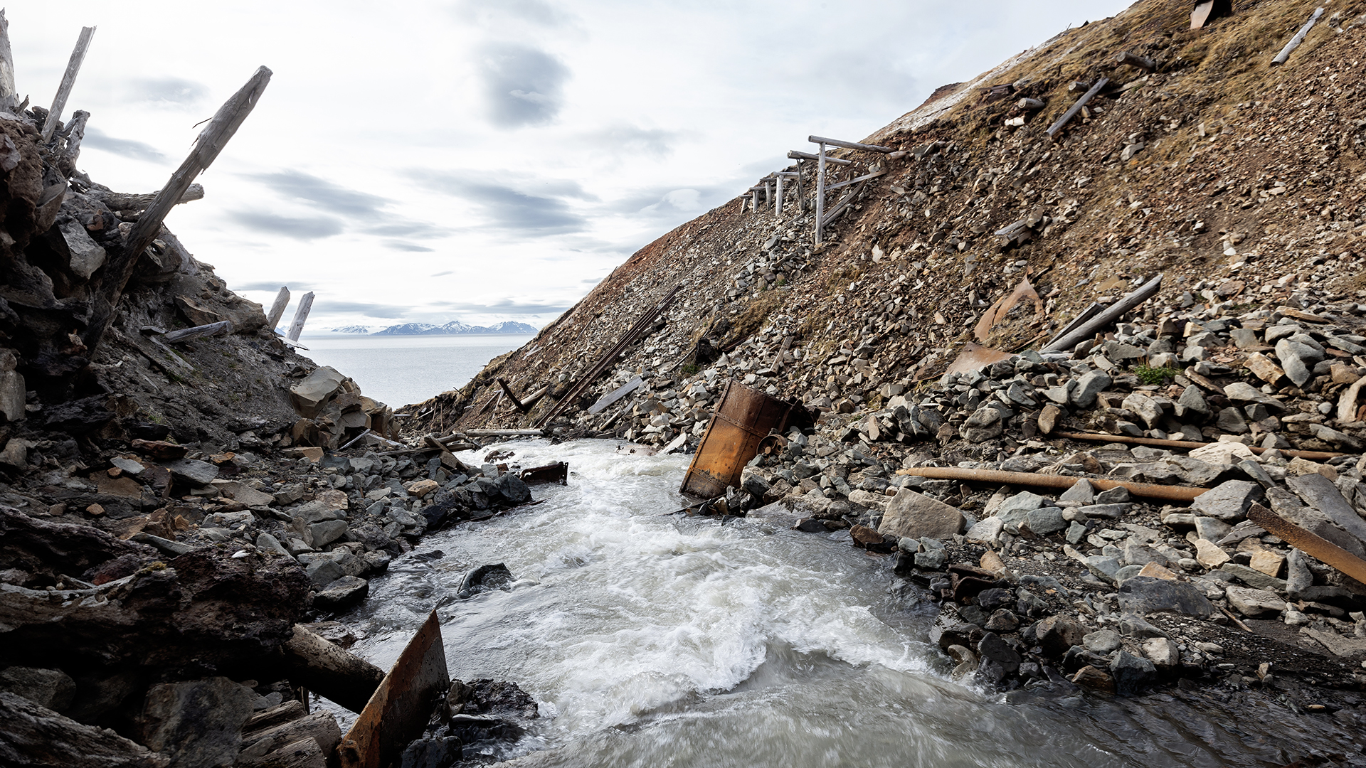
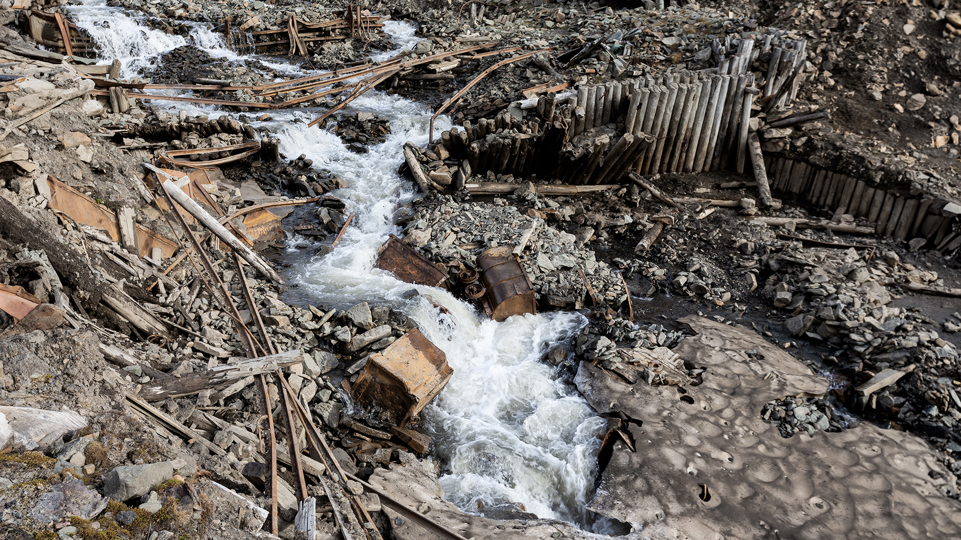
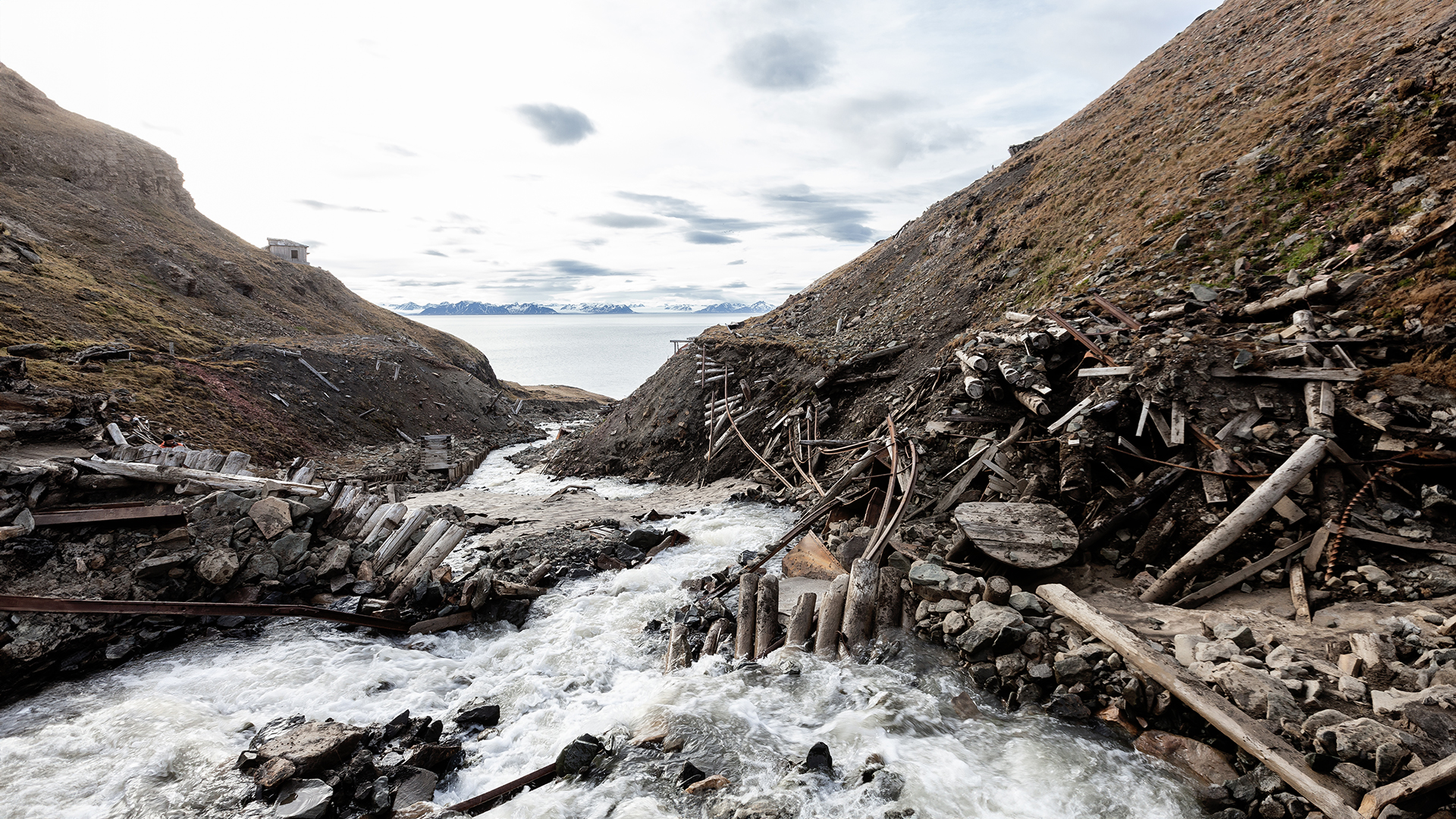
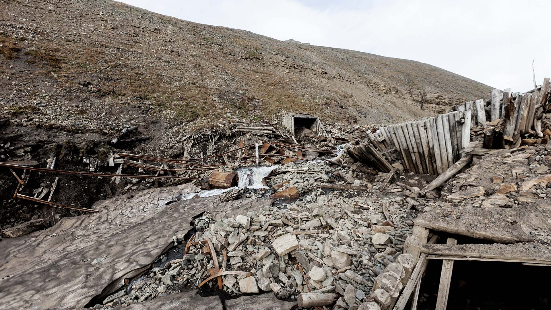
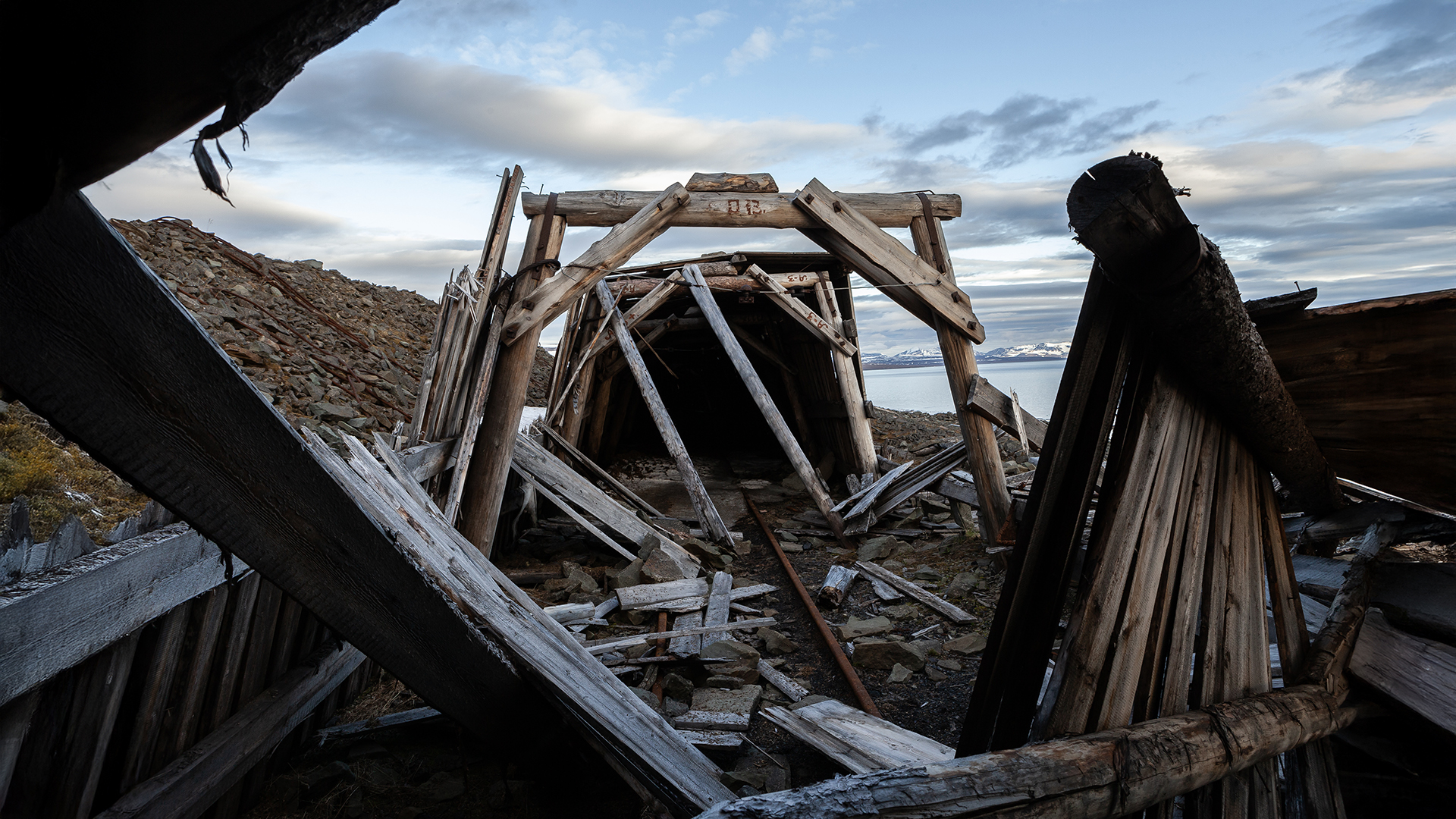
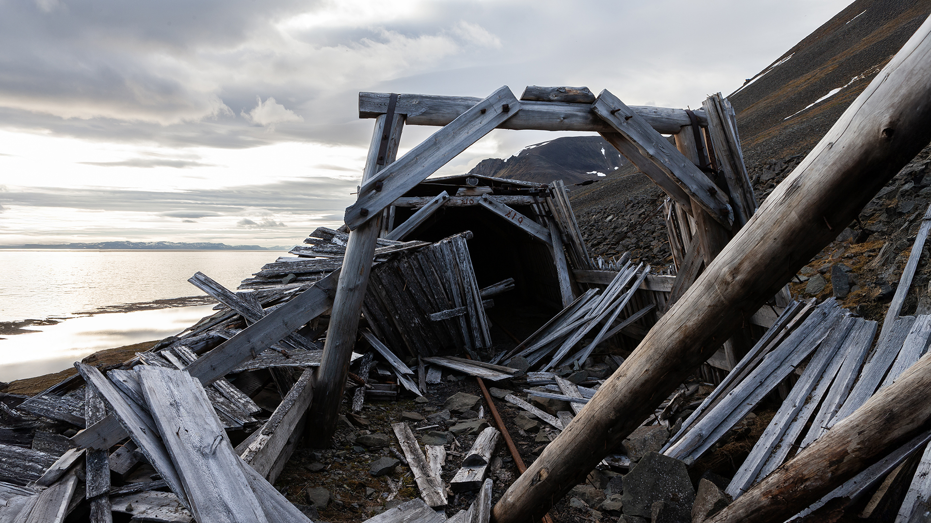
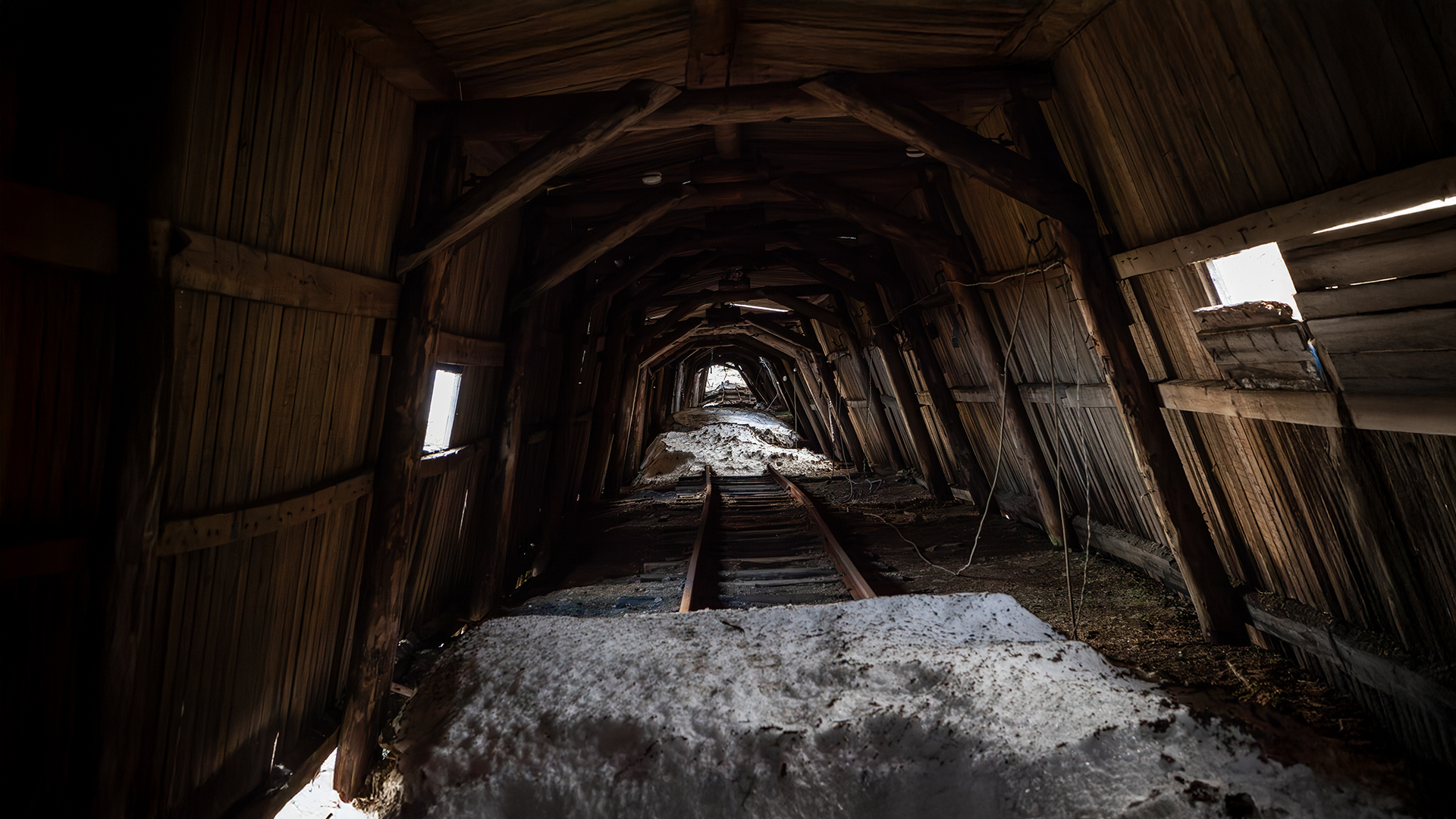
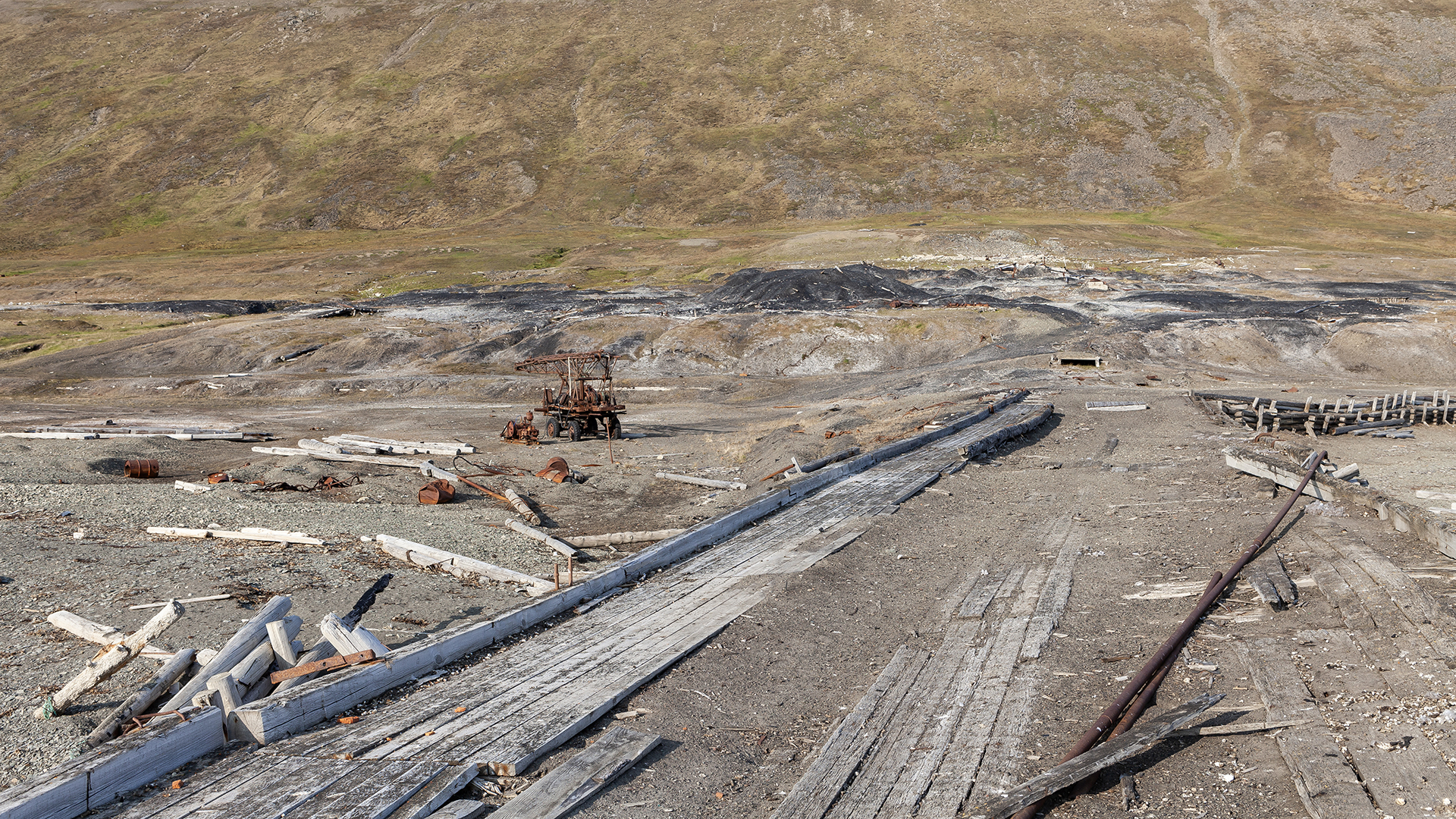
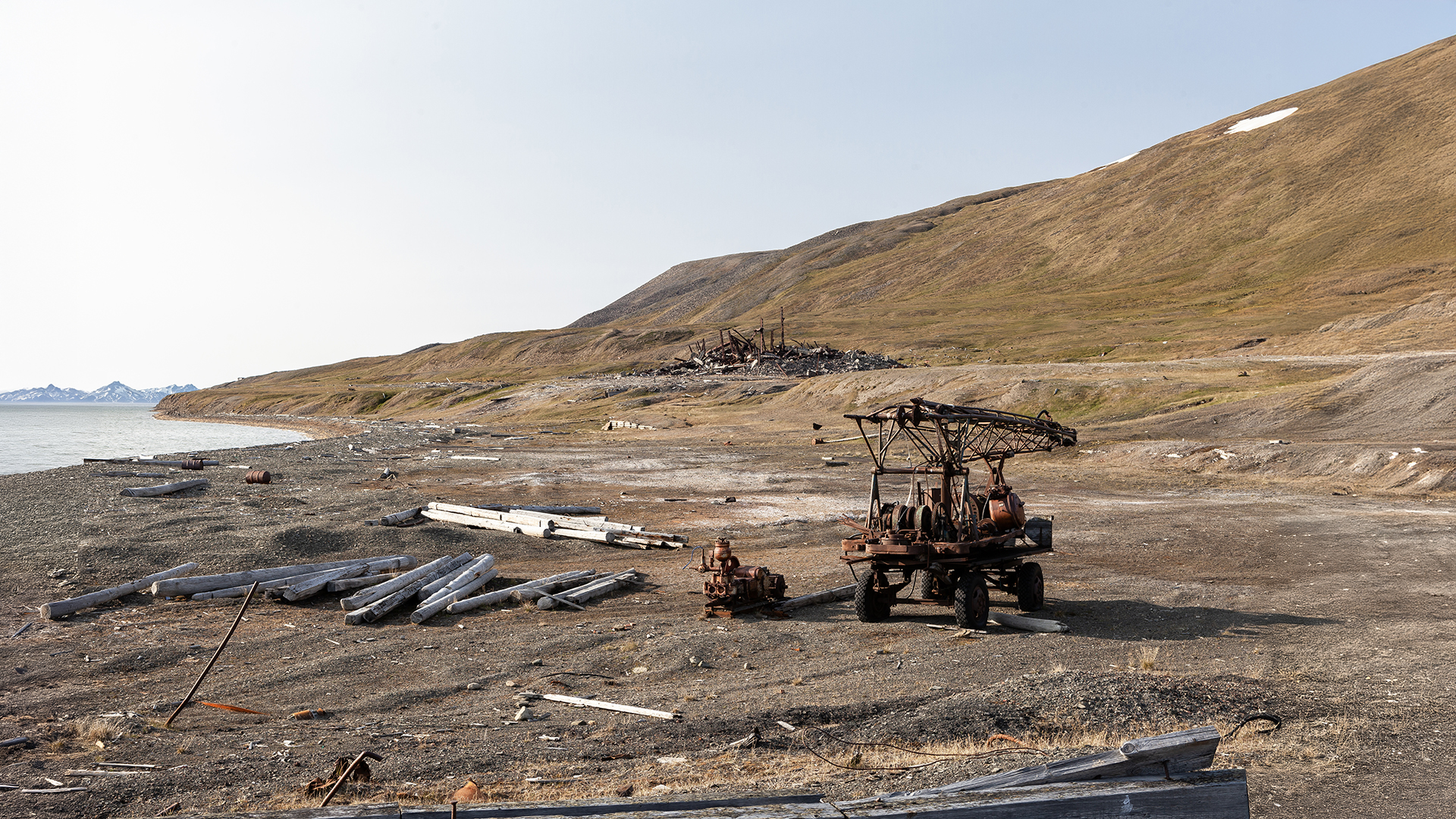
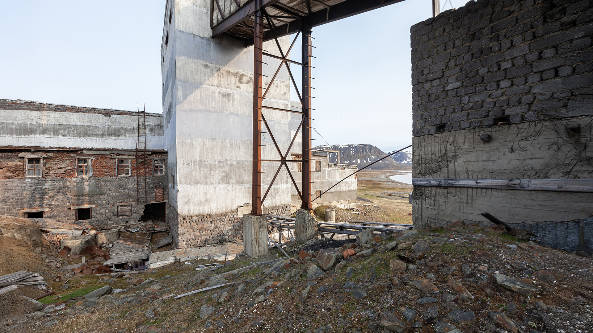
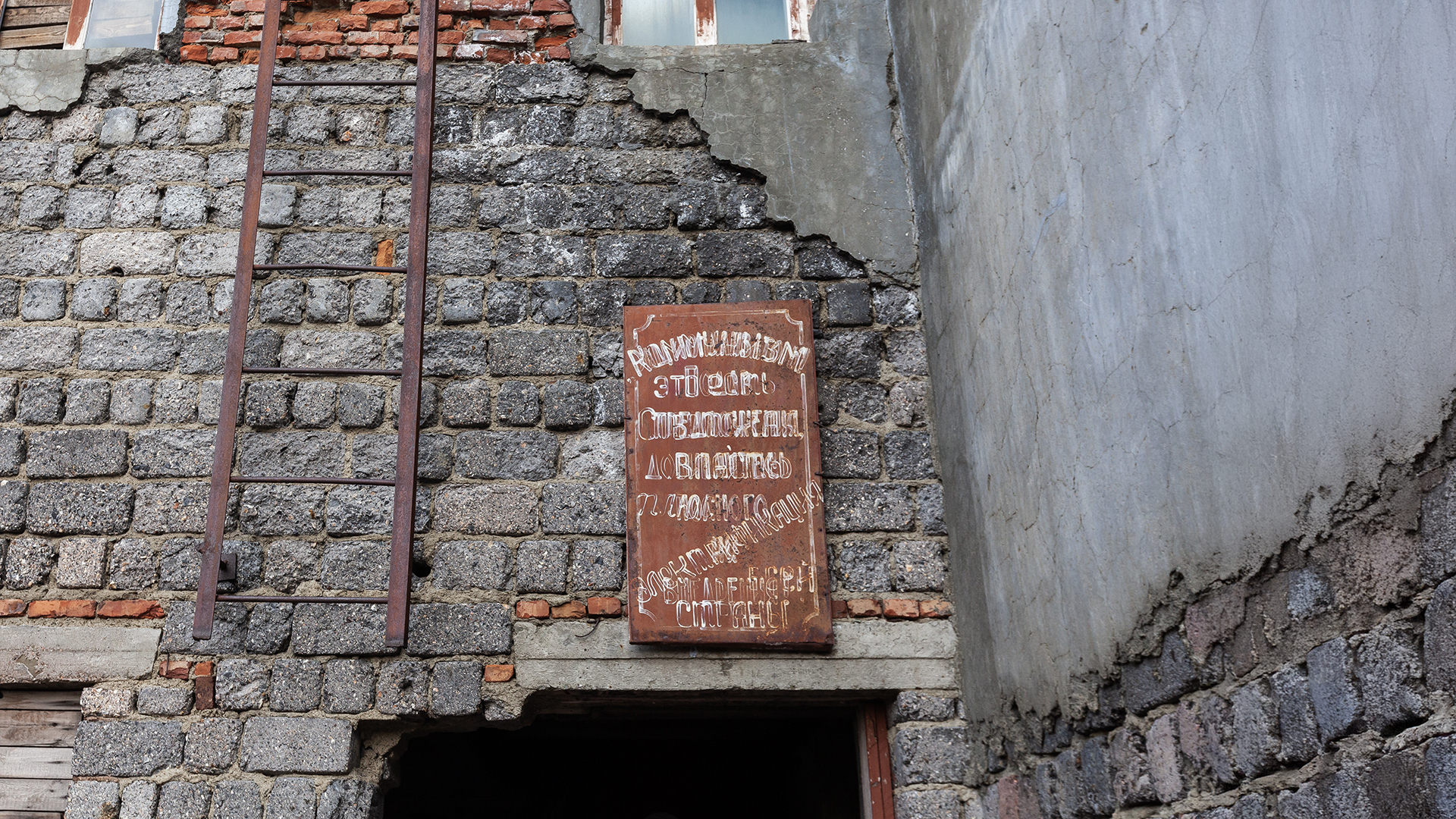
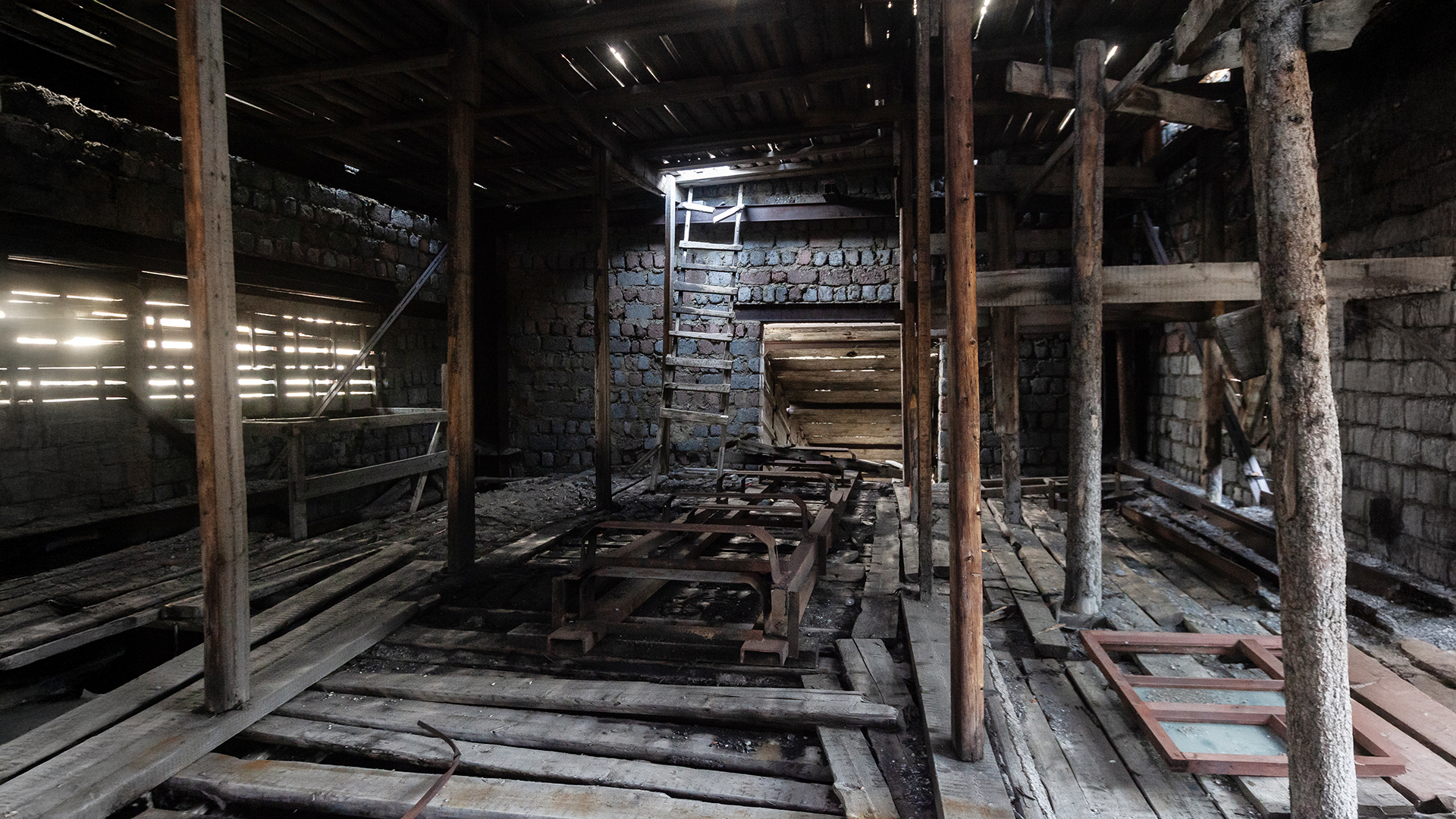
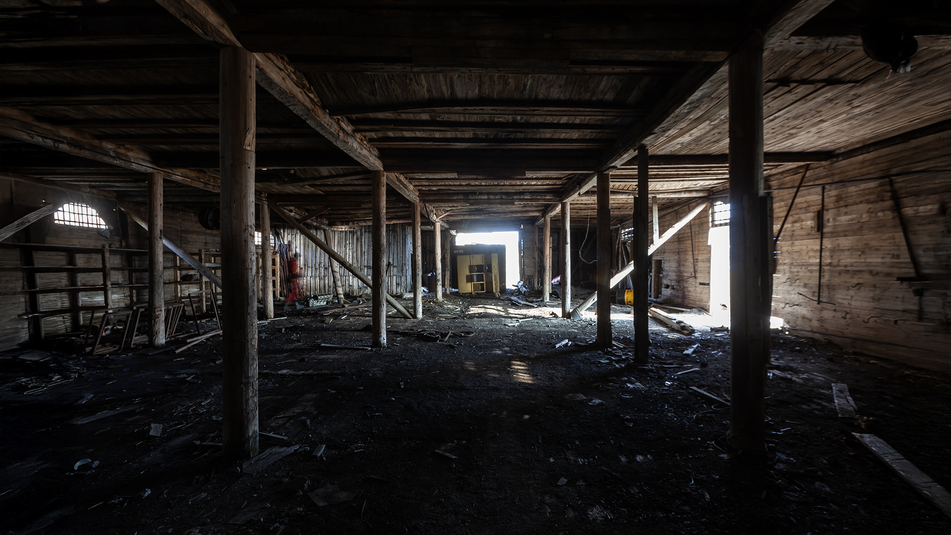
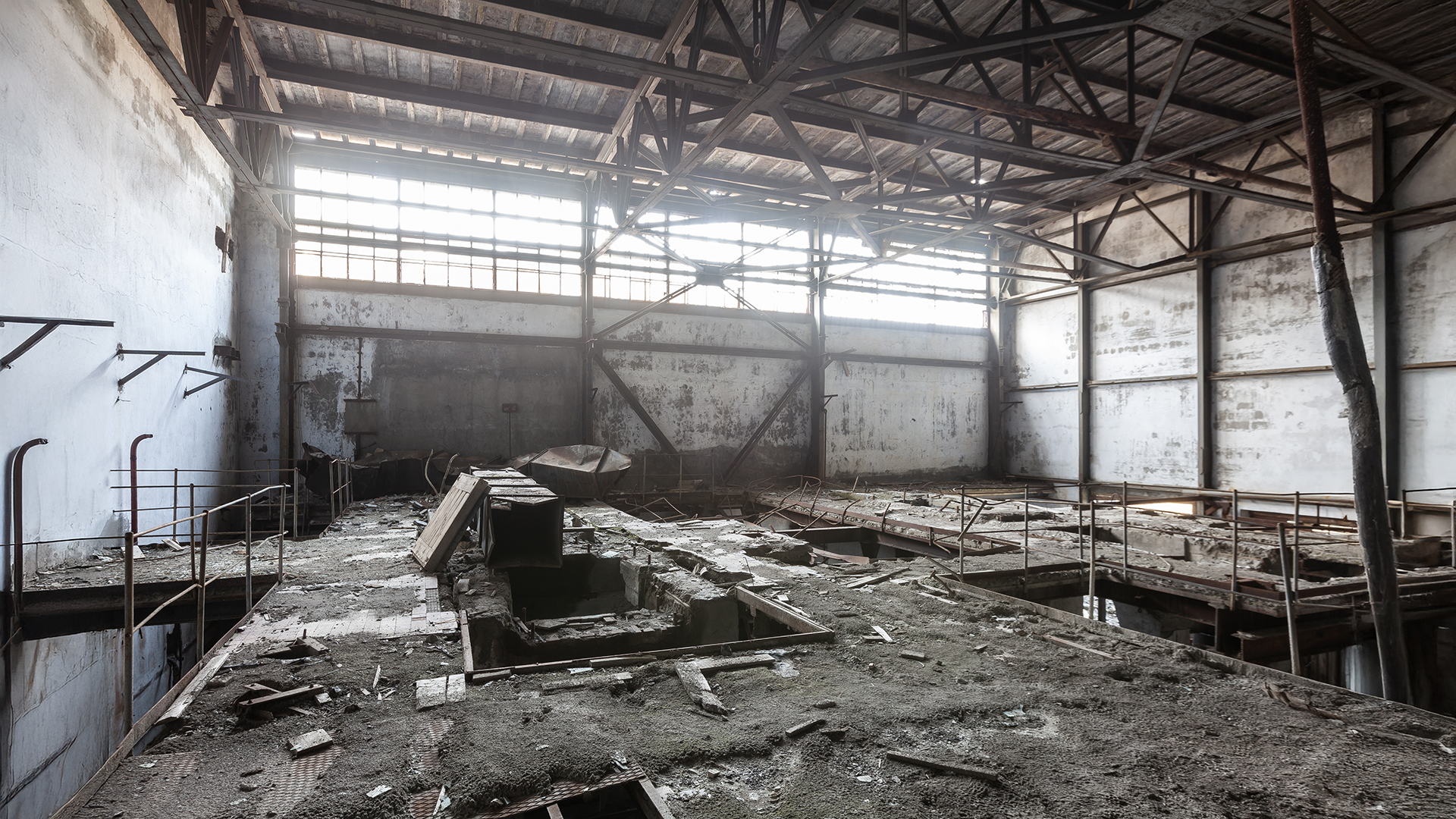
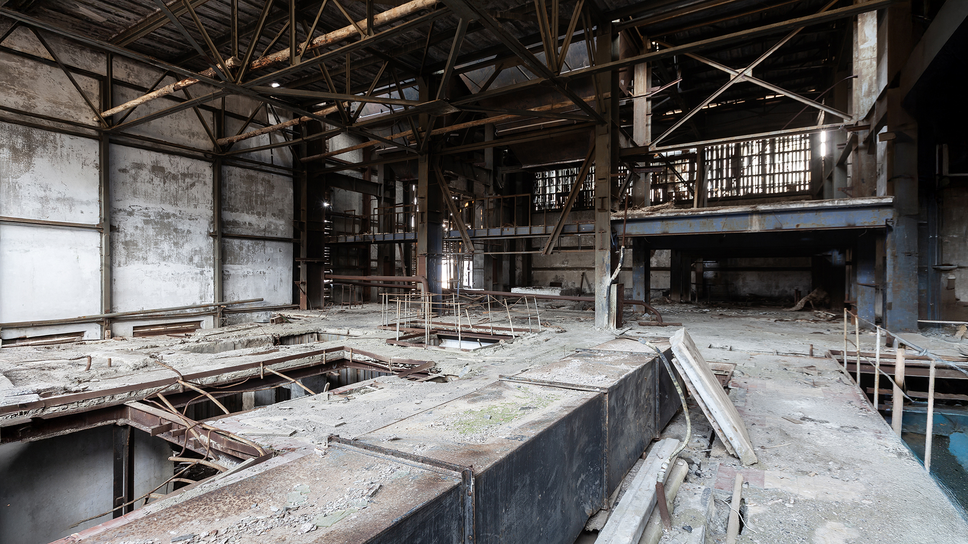
Not much remains of the once-proud mining town. When the Russians abandoned it in the mid-1960s, all mine entrances, as well as bridges, tunnels, and industrial buildings, were burned or blown up. Snow, ice, extreme winter cold, rain, and massive amounts of meltwater during the summer months did the rest. We spent a few hours in the old mining town, exploring the ruins. Since our original plan to explore the mine from the inside was impossible without heavy equipment (due to the destroyed entrances), we had more time to examine what remained on the surface.
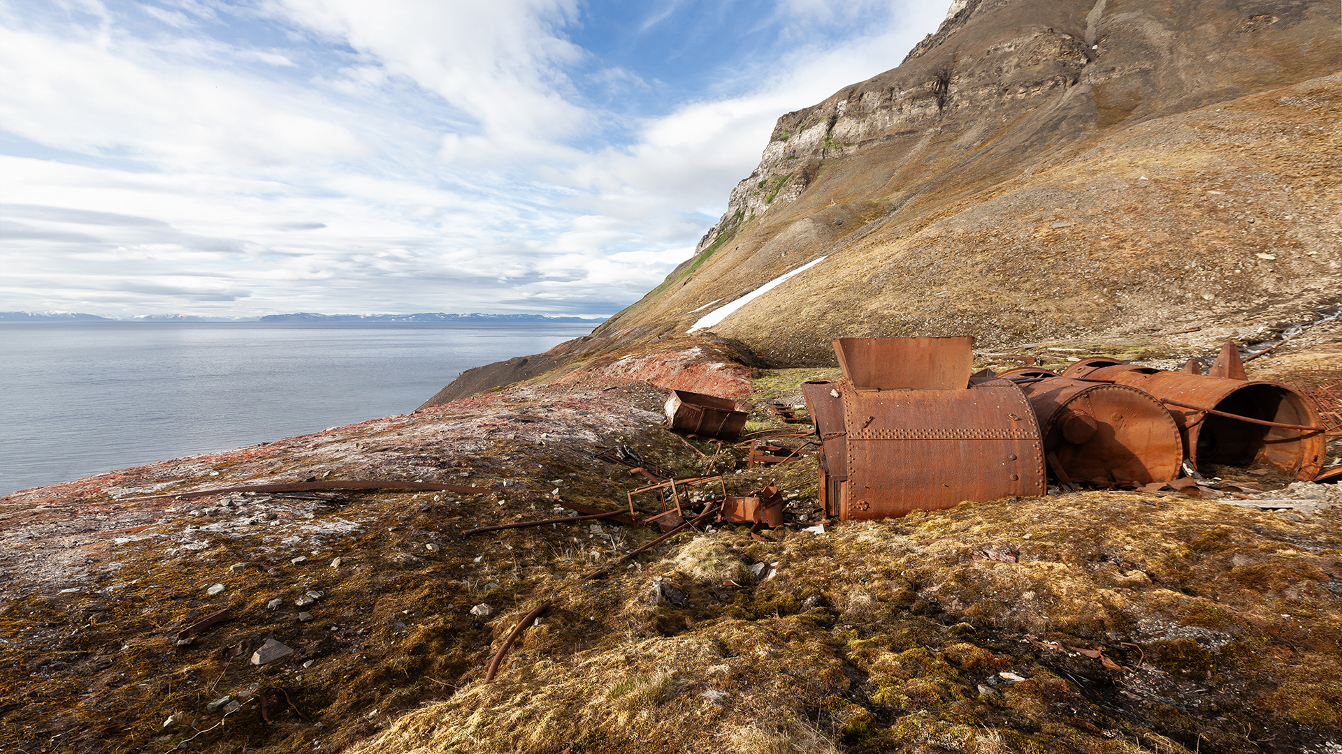
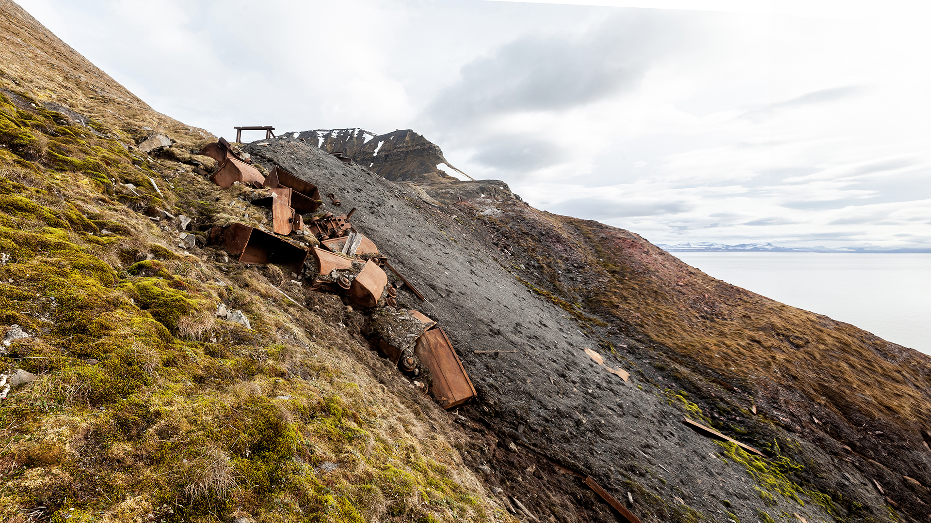
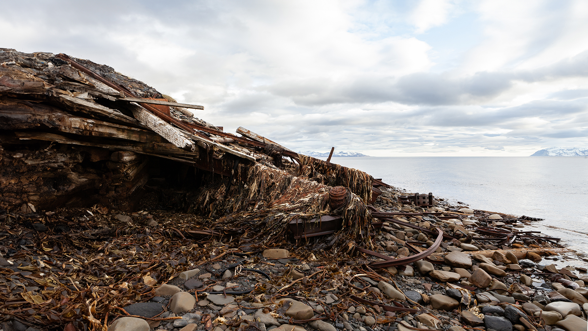
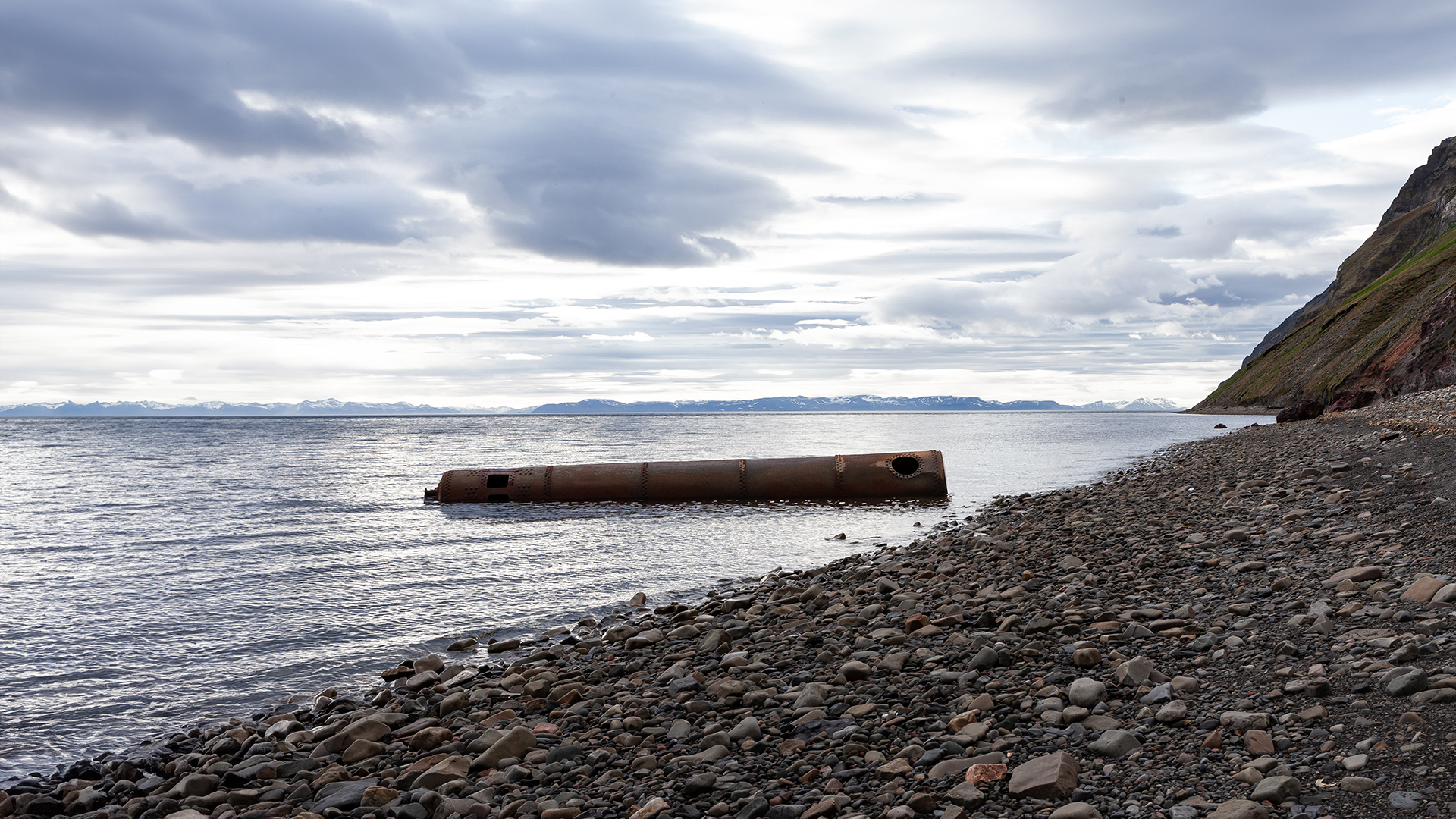
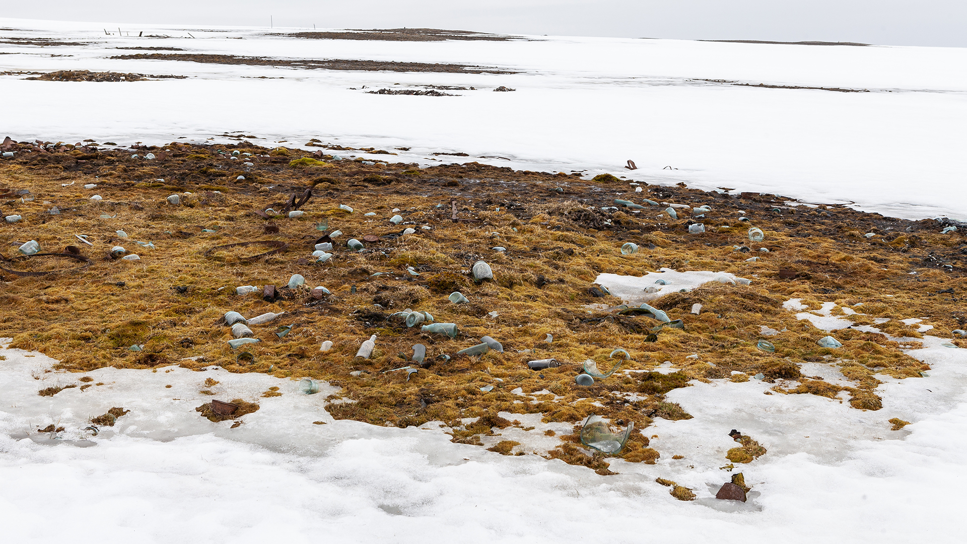
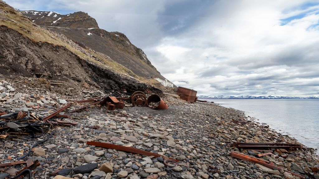
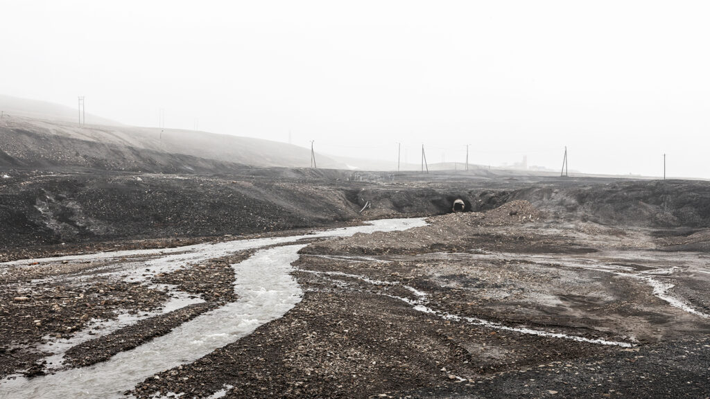
Situated on a hillside, the remnants of the past are slowly but steadily pushed toward the sea by snow and meltwater. Debris and old metal parts form surreal, almost sculptural shapes along the shore and in the riverbeds—a strange mix of art and chaos. It is a quiet contest between nature and humanity, a poignant reminder of how fleeting our traces are. A moment of reflection before moving on—just like the debris itself.
At precisely midnight, we decided to set off for Colesbukta. Our destination: the Russian Rusanovodden Cabin, idyllically situated next to the old railway tracks and just outside the entrance to Colesbukta. This would be our campsite for the next day.
Grumantbyen, nestled picturesquely in a small bay and surrounded by rugged mountain peaks, did not make continuing our journey easy. Since all the railway tunnels that once led to Colesbukta had been destroyed, we were left with only two options:
The first option: a climb along the steep slope. Advantage: We would have enough time and could proceed at our own pace. Disadvantage: The slope was steep, the terrain full of scree and moraines—especially the initial section promised to be quite grueling.
The second option: a walk along the beach beneath the cliffs. Advantage: Flat terrain, ideal for making quick progress—at least at the start. Disadvantage: We would have to hurry, as the tide was already rising, and according to our maps, the next flat stretch of coastline was only in the bay of Colesbukta.
After nearly 20 hours without sleep, the beach walk sounded surprisingly appealing. “This will be a stroll,” we thought in our boundless optimism. And so, we set off, blissfully unaware…
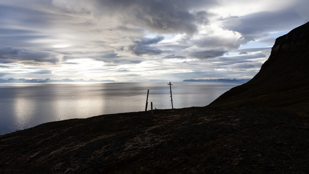
ON THE WAY TO COLESBUKTA
To cover the eight kilometers to Colesbukta before the rising tide cut off our path, we needed to move quickly. At first, the beach appeared smooth and easy to traverse, which gave us hope that the journey would be relatively simple. However, after just a few hundred meters, the beach turned into an obstacle course of smooth, slippery stones of various sizes.
Trying to maintain a fast pace with our heavy backpacks quickly led to painful slips and falls, leaving us bruised. We slowed down, hoping that time would still be on our side—or that the beach would soon become easier to navigate. While the terrain eventually leveled out and became easier to walk on, we were already running out of time.
The water rose, the beach grew narrower, and it soon became clear that we wouldn’t be able to reach either Colesbukta or Grumantbyen with dry feet. Exhausted and stressed, we frantically searched for a spot where we could climb the 10- to 20-meter-high cliff and continue along the old railway tracks. With more luck than skill, we finally found a suitable spot—just in time, before the rising tide completely blocked our way.
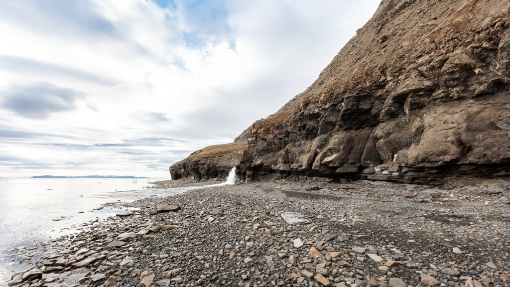
A small river had carved its way through the cliffside almost down to the beach, reducing the height of the cliff to about five meters at this spot. The surface was marked by steps and cracks, making the climb significantly easier. My colleague took on the challenge first: he skillfully climbed up, hauled our backpacks up with a rope, and then helped me complete the ascent.
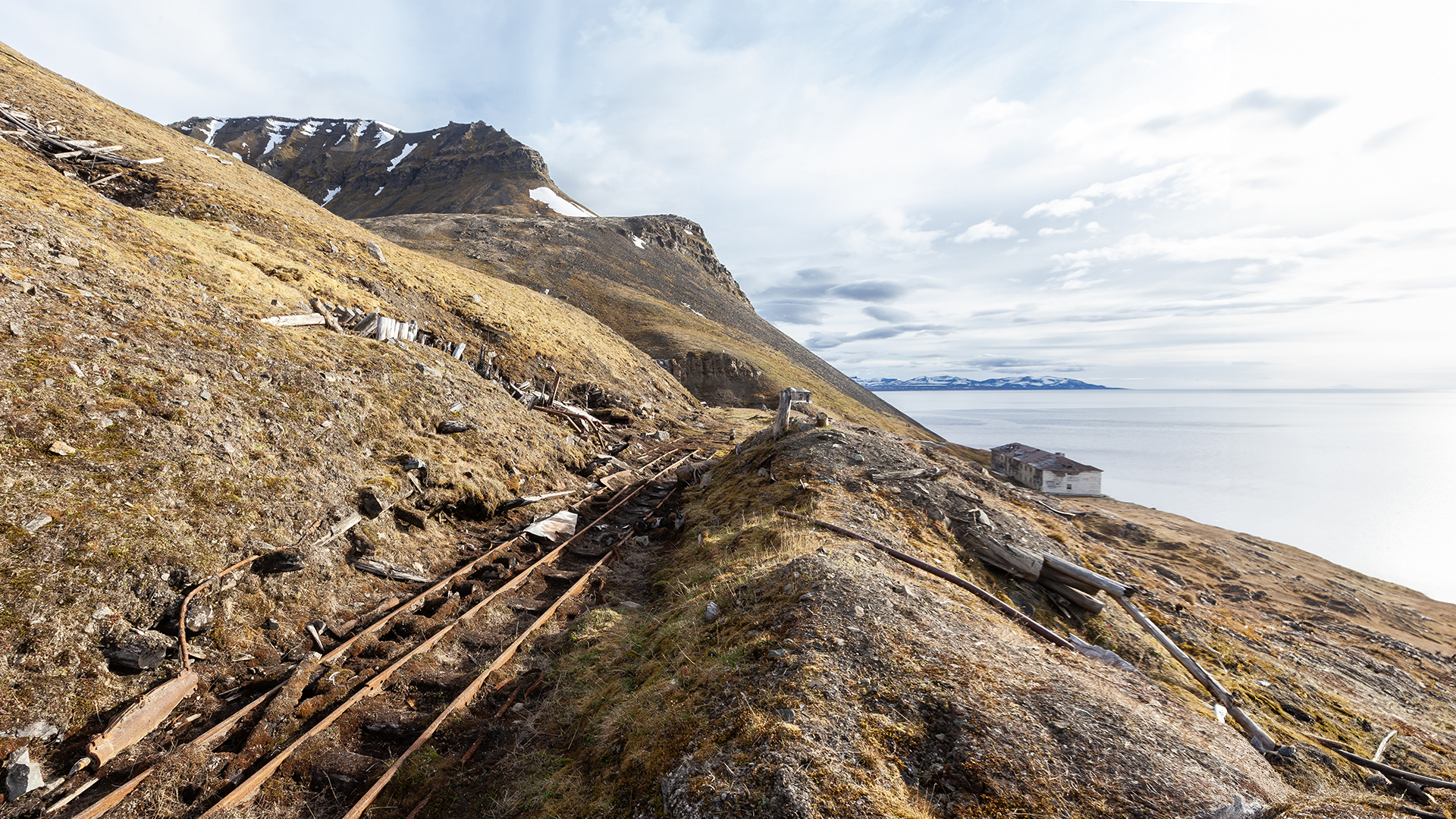
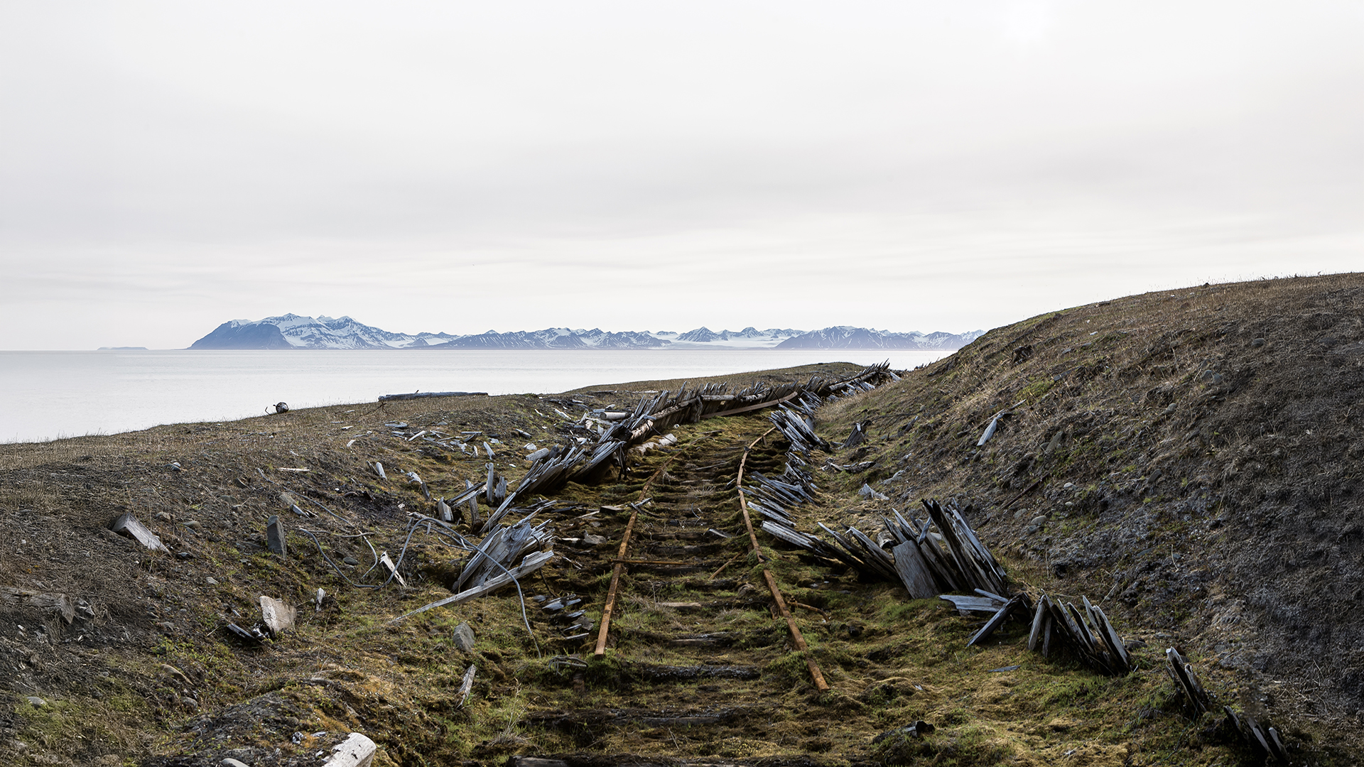
Remnants of the Grumantbyen-Colesbukta Railway Line
| HISTORY |
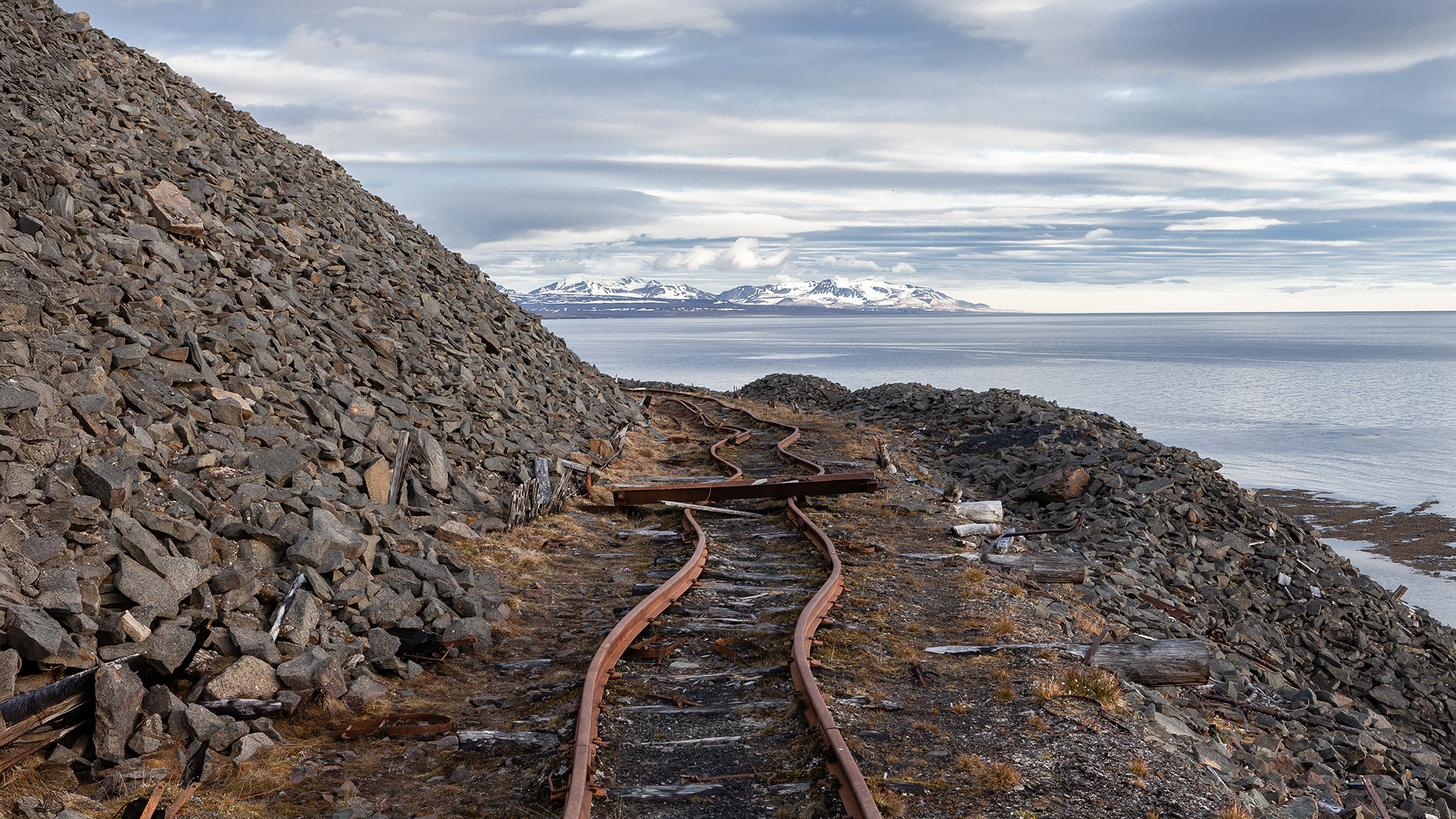
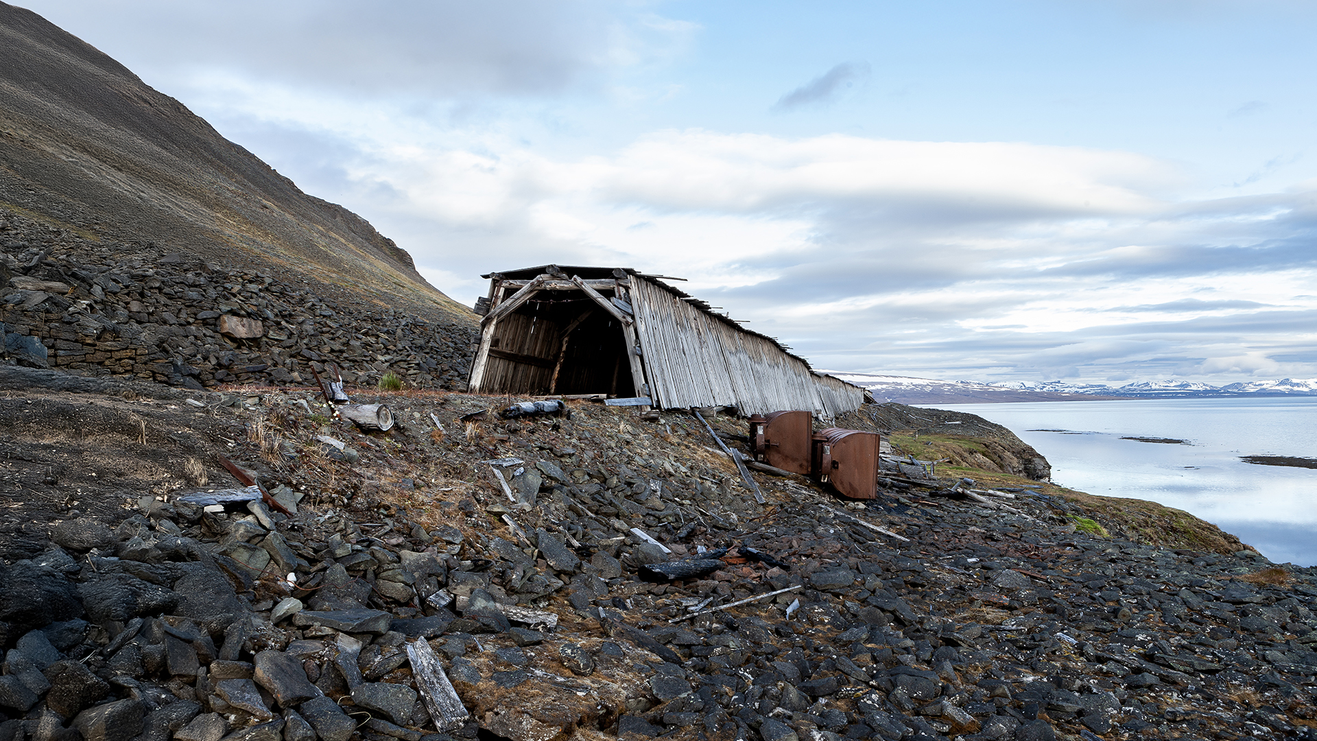
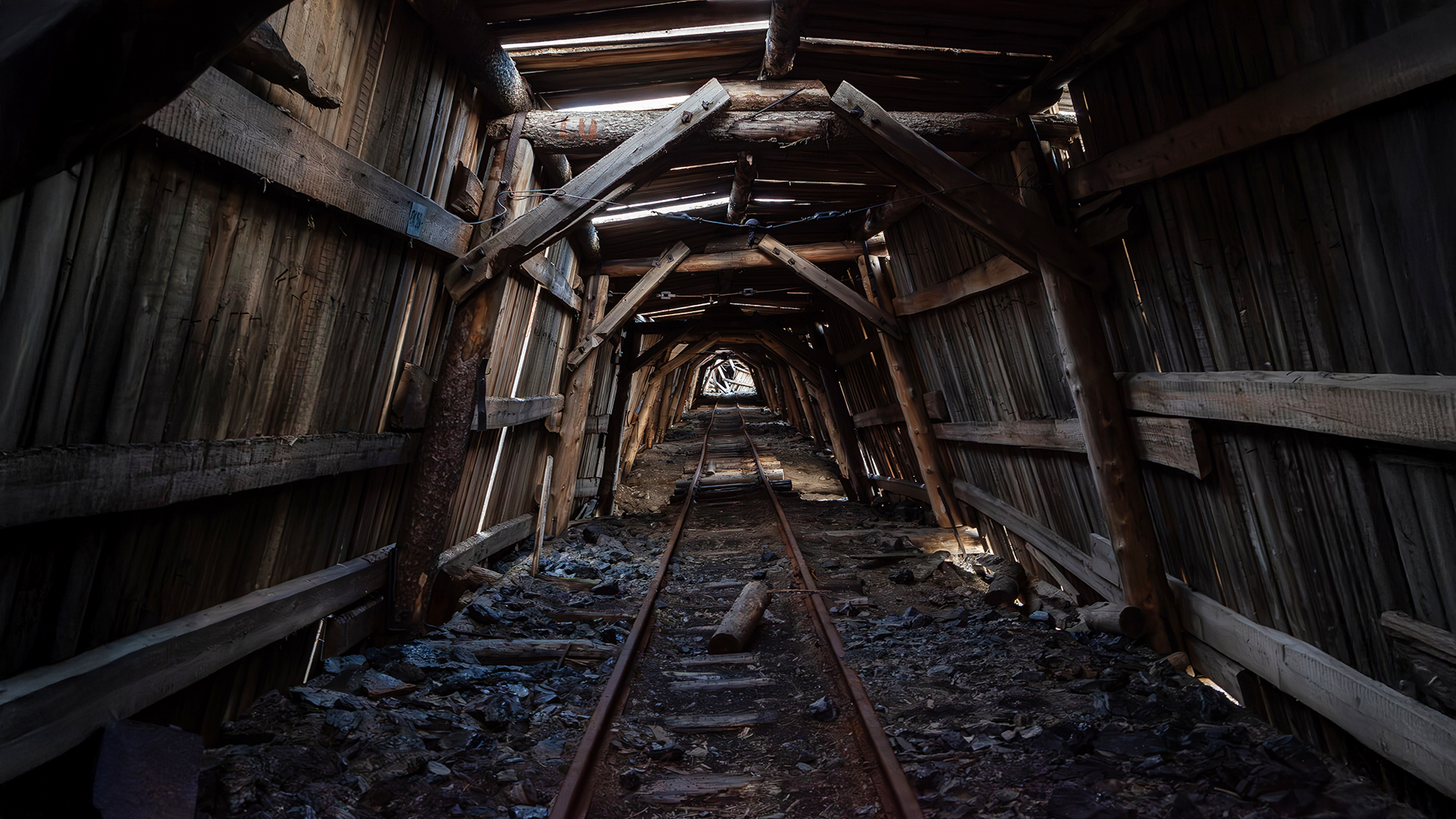
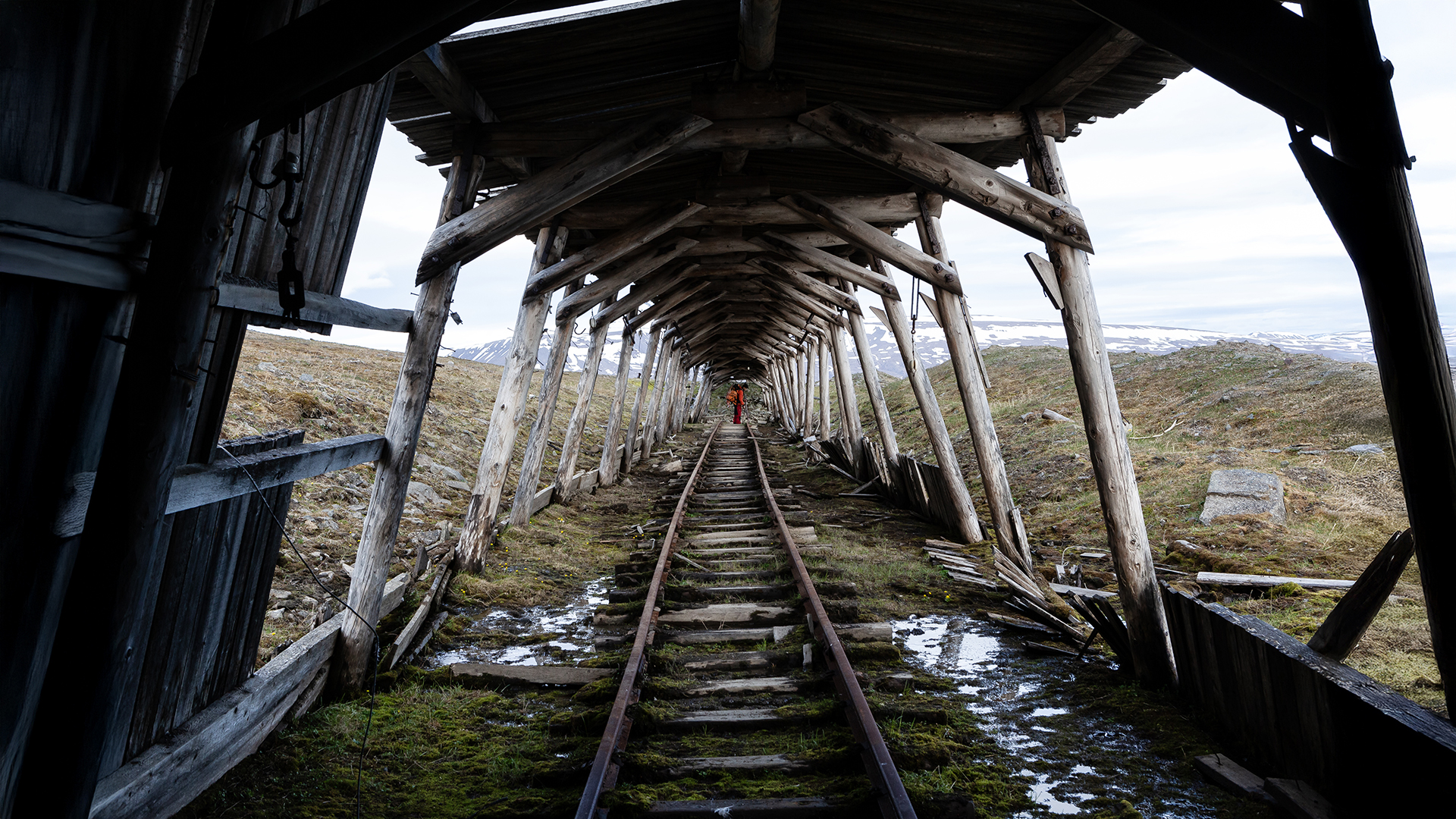
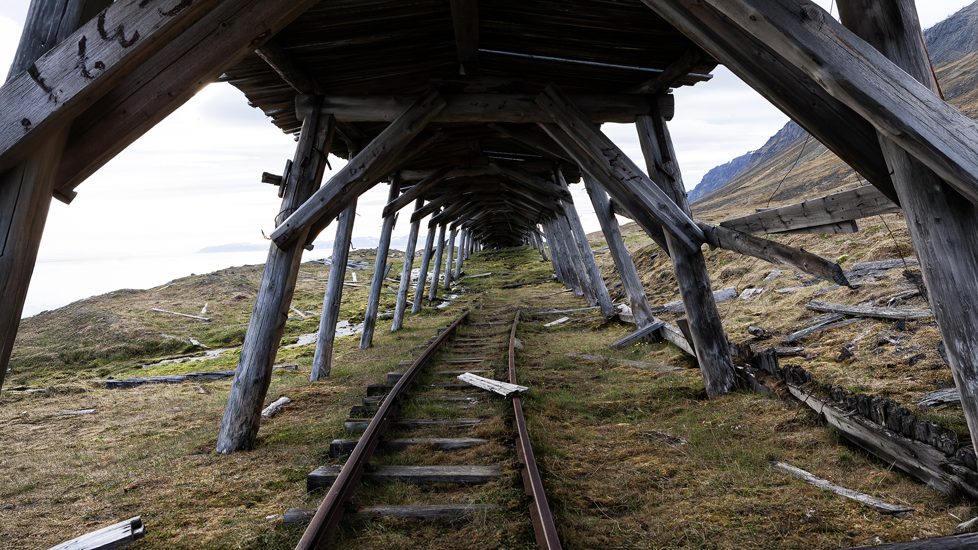
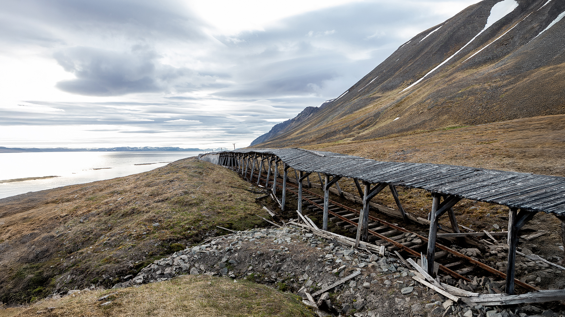
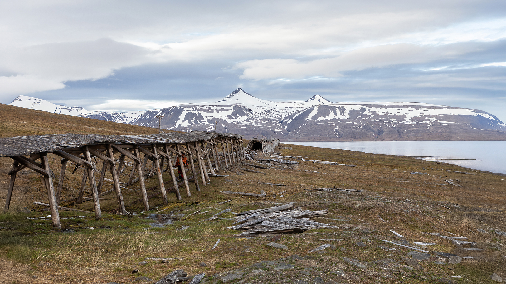
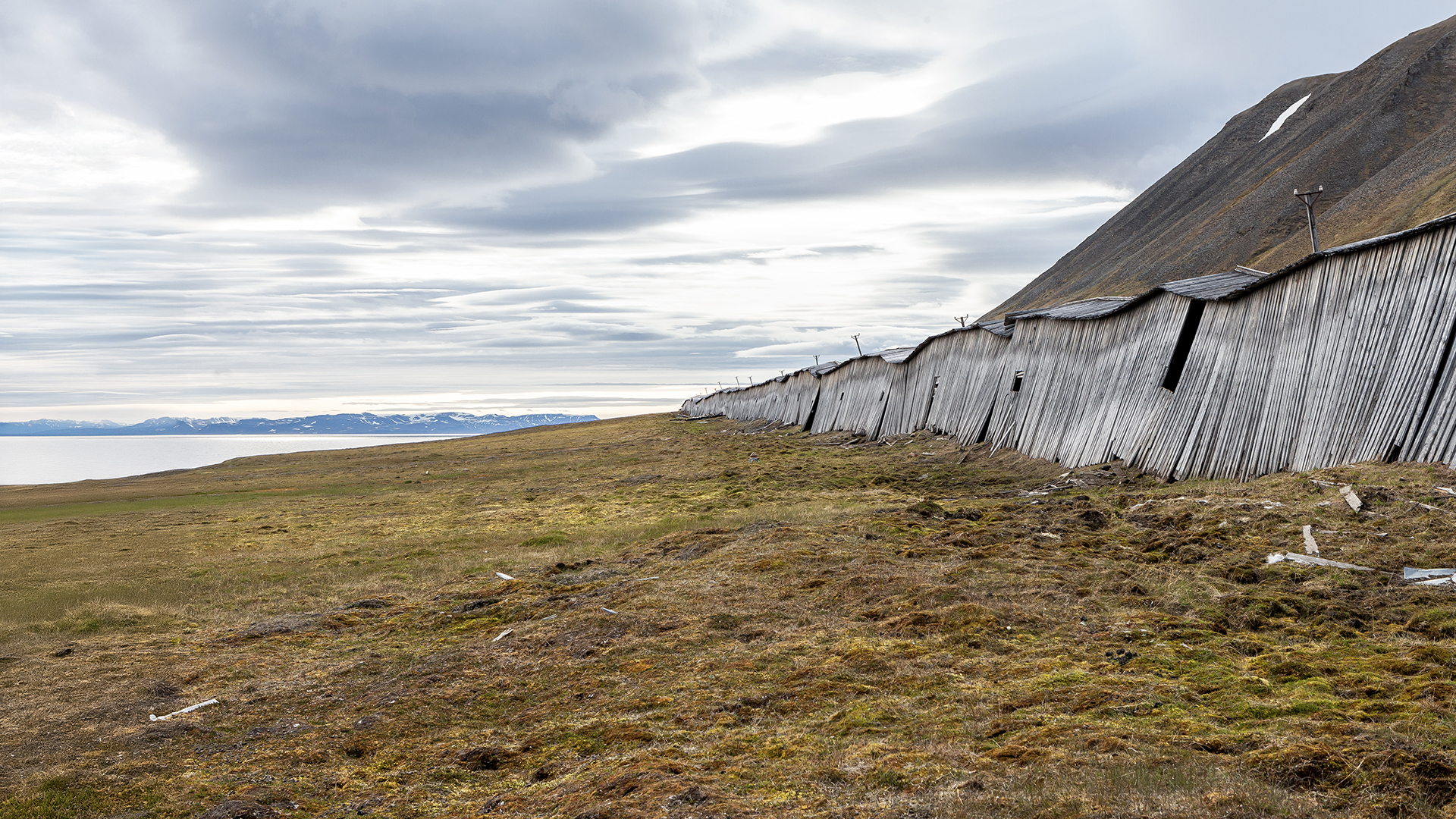
| The narrow-gauge railway connecting Grumantbyen and Colesbukta linked the two Russian settlements. Built between 1926 and 1932, it was Svalbard’s longest surface railway, stretching eight kilometers, with much of it enclosed in a wooden structure to protect against snowdrifts in winter. Its primary purpose was to transport coal from the Grumantbyen mine to the newly established port town of Colesbukta. The railway included several bridges and passed through a 300-meter-long tunnel into the bay of Grumantbyen. The line was abandoned in 1965, along with Grumantbyen and Colesbukta. |
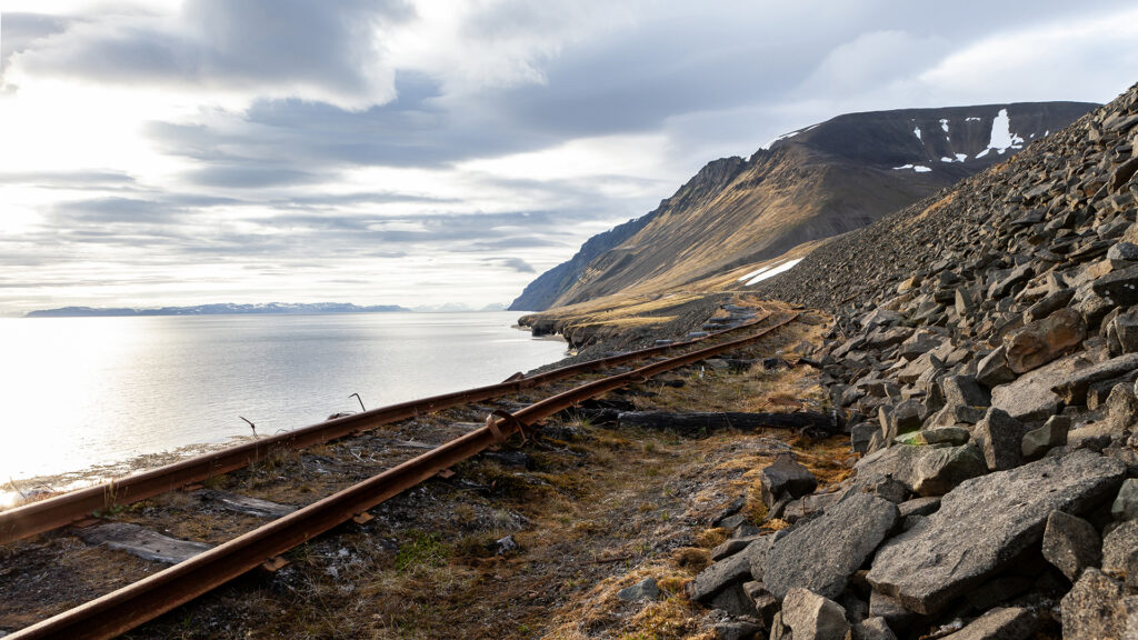
After climbing up the cliff, we finally found ourselves on solid ground again. The stress and pain of the past few hours were rewarded with a breathtaking panoramic view of the fjord. To our surprise, the remnants of the old railway line were remarkably well-preserved. Despite the destruction caused by the Russians before their departure and decades of decay, the tracks and long sections of the wooden protective structures were still intact. Along the way, we even came across several old railway carriages scattered along the route.
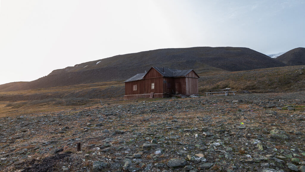
From this point, we were able to follow the tracks for the remainder of the journey and soon reached the Rusanovodden Cabin. By then, it was already 4 a.m., and our only thought was: finally, sleep.
The Rusanovodden Cabin
| HISTORY |
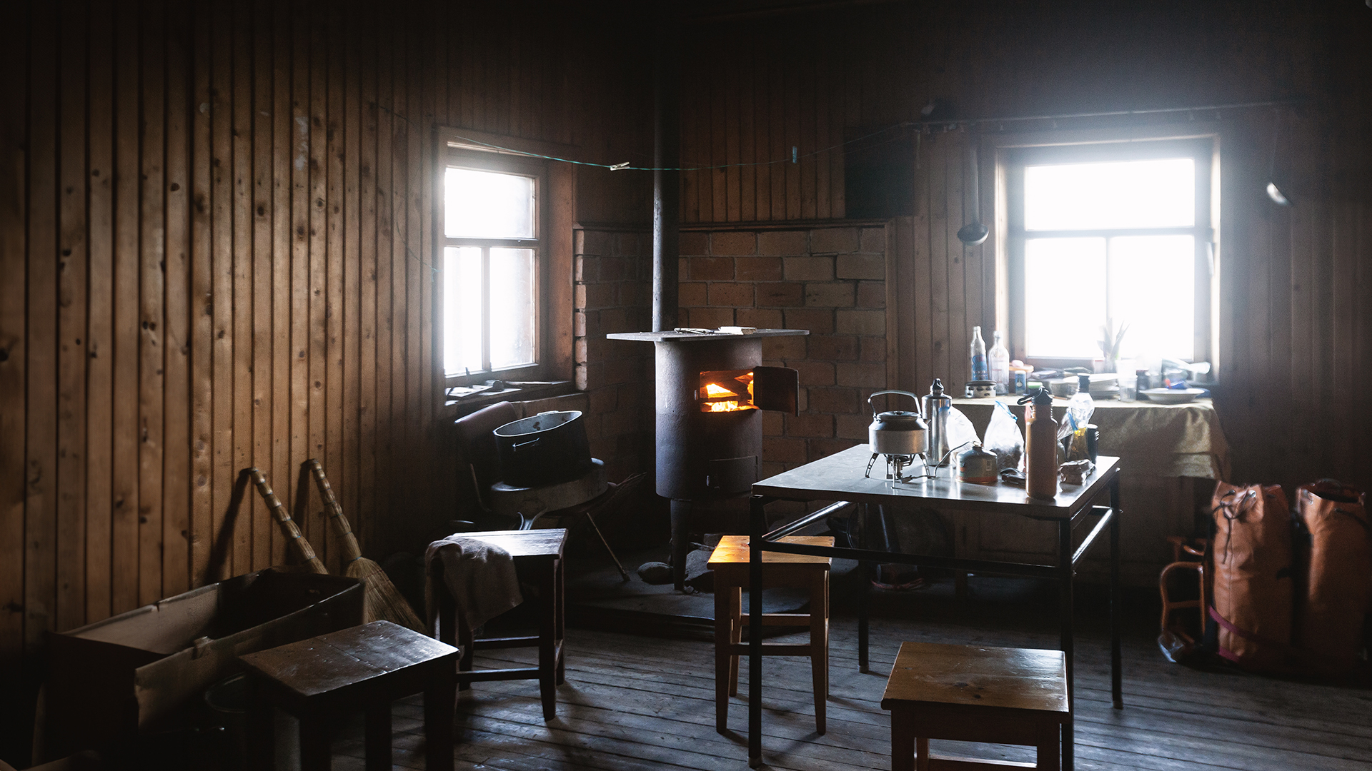
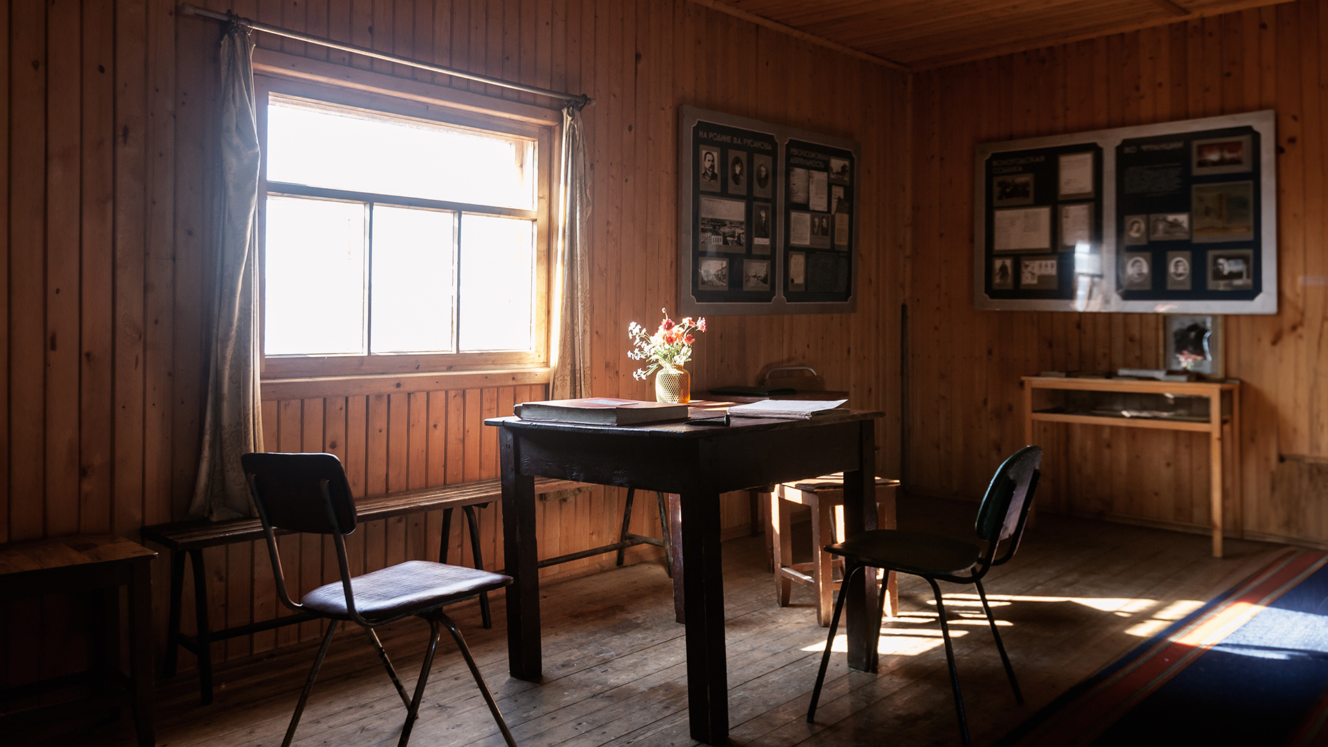
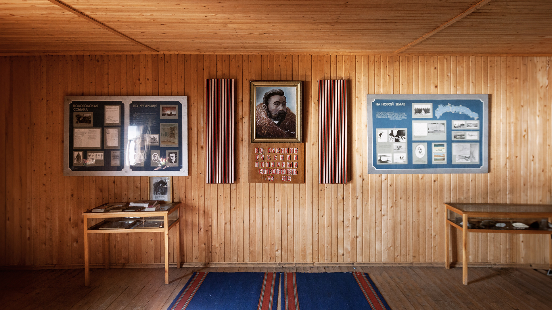
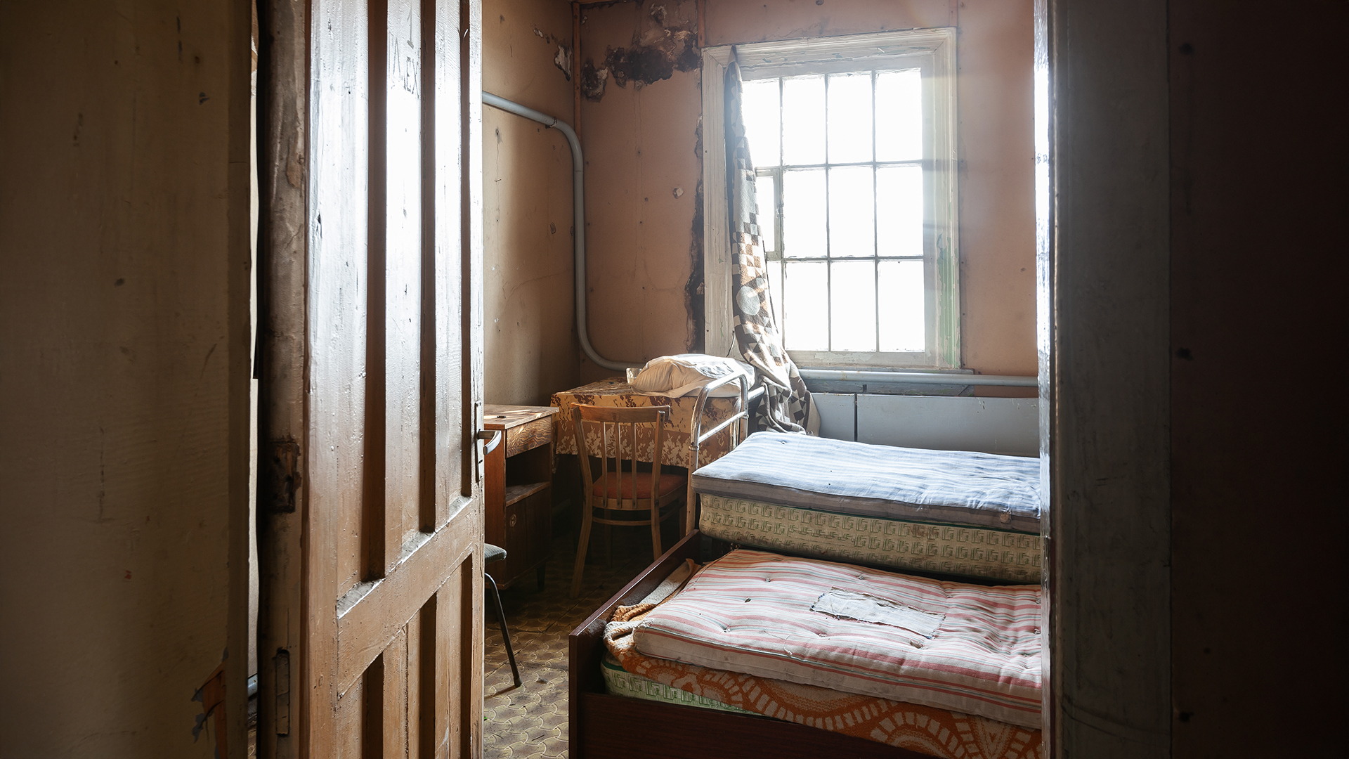
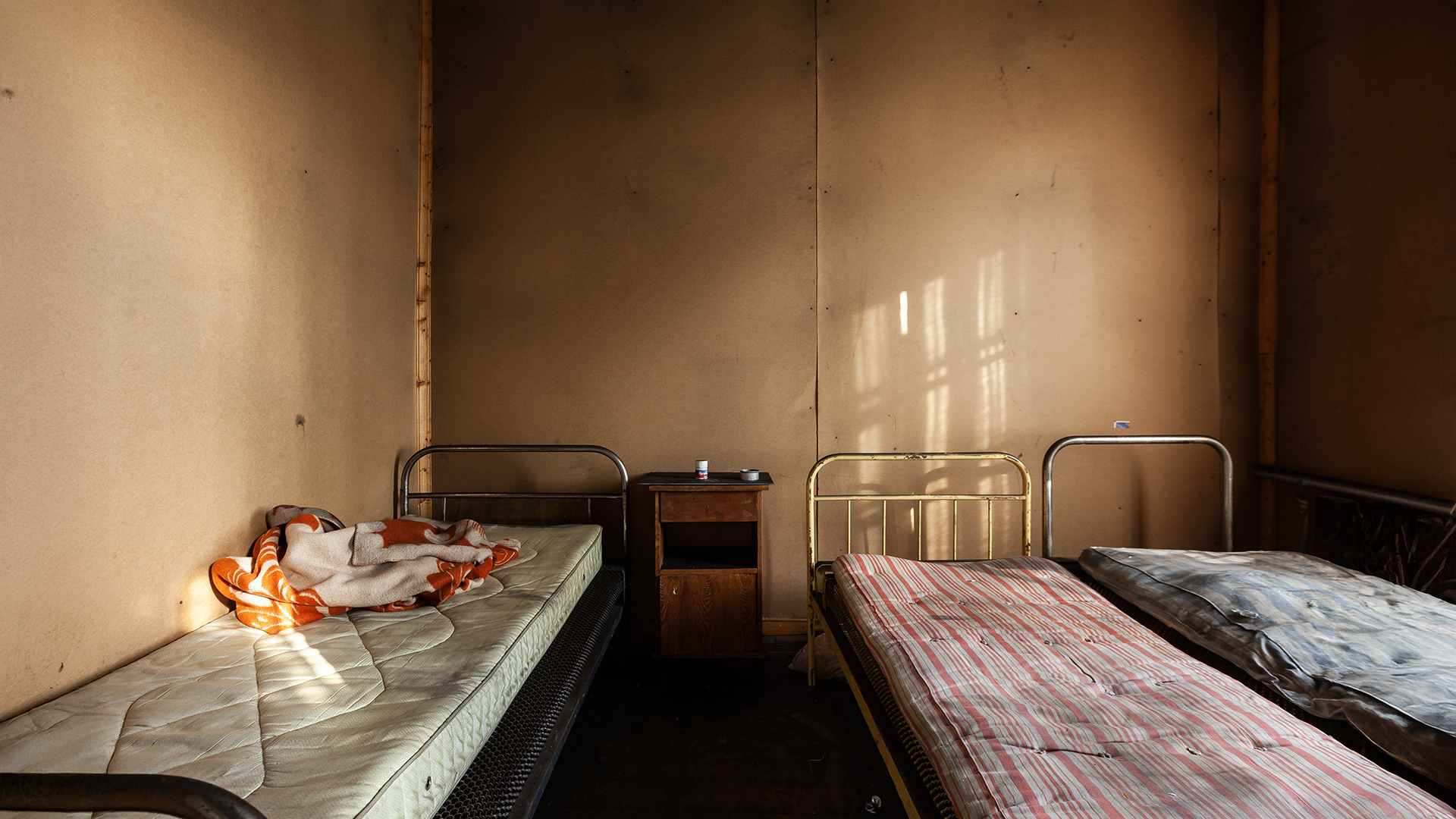
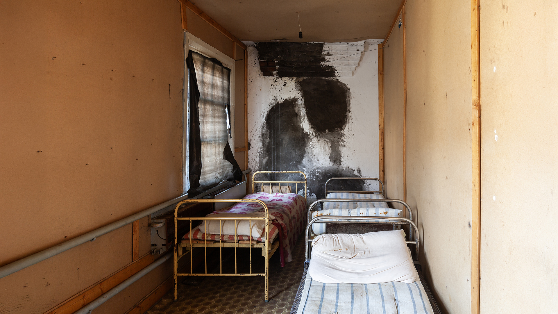
| The Rusanovodden Cabin was built in 1912 by Vladimir Alexandrovich Rusanov (1875–1913), a Russian geologist and explorer who claimed the land in Grumantbyen in 1912. After his death in 1913 and the start of Russian coal mining activities in this part of Svalbard, the cabin was converted into a small, self-guided museum in Rusanov’s honor. Today, it is one of the few publicly accessible cabins on Svalbard. In addition to the museum, it offers beds for up to six people, a stove, and basic hut amenities. |
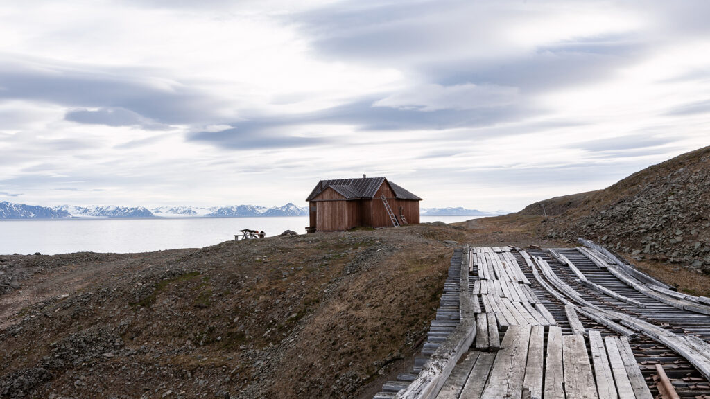
After nearly 24 hours without sleep and an exhausting trek, arriving at the cabin was an immense relief. At last, we could take a well-deserved break. We prepared some food and got the cabin’s stove glowing. As the warmth of the fire filled the room, we settled into the rustic wooden beds and quickly fell into a deep, 15-hour sleep.
Colesbutka
| HISTORY |
| Colesbukta was originally a whaling station. Later, in the early 20th century, initial attempts at coal mining were made in the bay itself but were soon abandoned and relocated. Coal mining activities began in the nearby newly established settlement of Grumantbyen. Due to the shallow waters around Grumantbyen, it was not feasible to transport coal by ship. Attention shifted back to Colesbukta, which was better suited as a harbor. Operations began in 1932 and ended with the closure of the Grumantbyen coal mine in the 1960s. Until 1988, Colesbukta served as a Russian base for exploratory coal drilling and was later abandoned. |
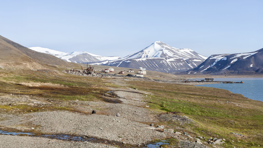
From the Rusanovodden Cabin, it’s just a 10-minute walk along the old railway path to Colesbukta. We left our heavy gear behind in the cabin, taking only our cameras and the rifle, and set off toward the harbor town. Shortly after leaving the cabin, the railway tracks disappeared beneath our feet—likely dismantled during the withdrawal. Scrap metal, after all, is worth more than memories.
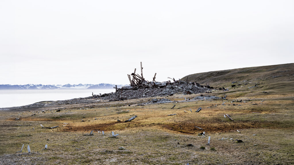
Before long, Colesbukta came into view. Much like in Grumantbyen, almost all the industrial buildings here lay in ruins. However, unlike Grumantbyen, the traces of demolition were far more evident. We were met by a maze of twisted steel beams and shattered concrete blocks—the remnants of buildings now barely recognizable. A crater in the center and debris scattered over a hundred meters from their original locations stood as silent witnesses to the massive explosion that once tore these structures apart.
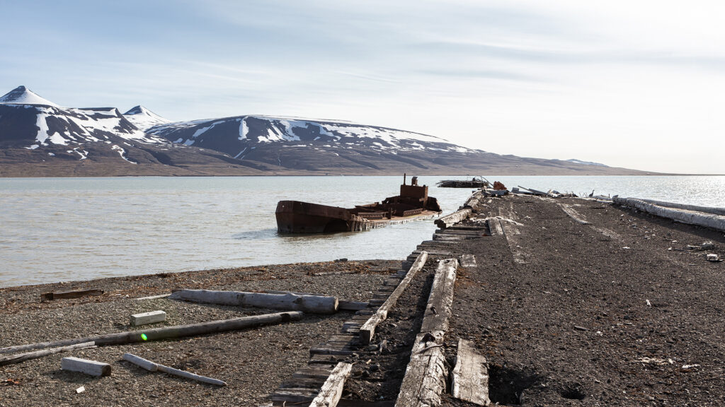
At the dock, we discovered a partially sunken ship surrounded by abandoned mining equipment left behind in the harbor. The beach around the settlement was littered with wood, barrels, and other debris.
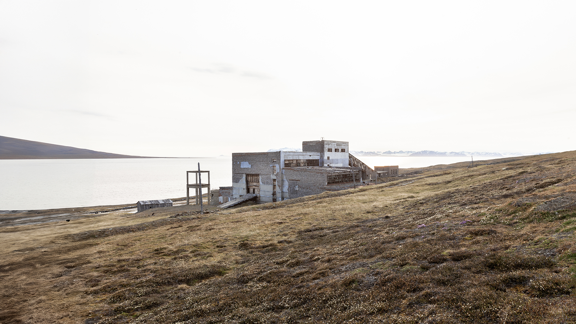
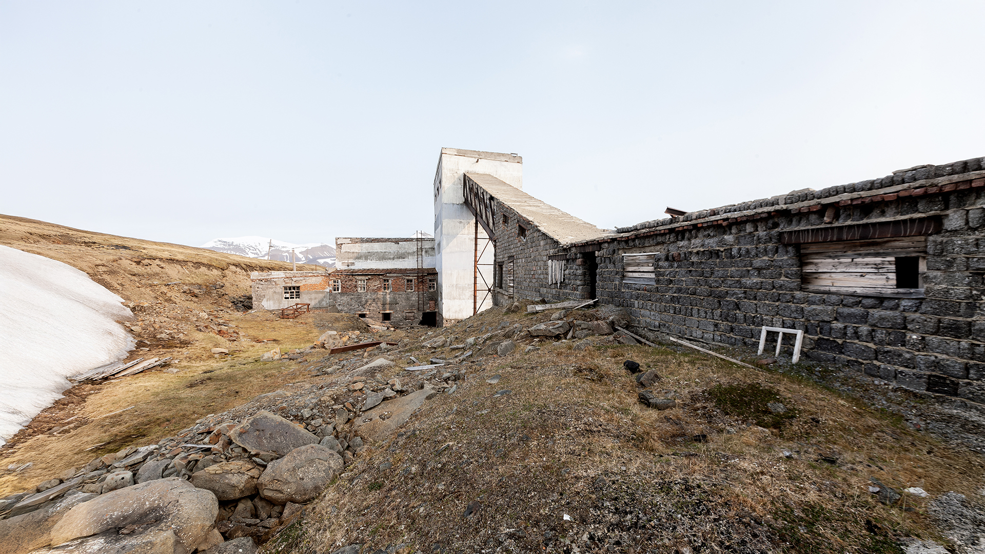
The old power plant of Colesbukta, the only remaining industrial structure in the bay, now stands as an empty shell of its former self. During the withdrawal, everything of value inside was removed or dismantled.
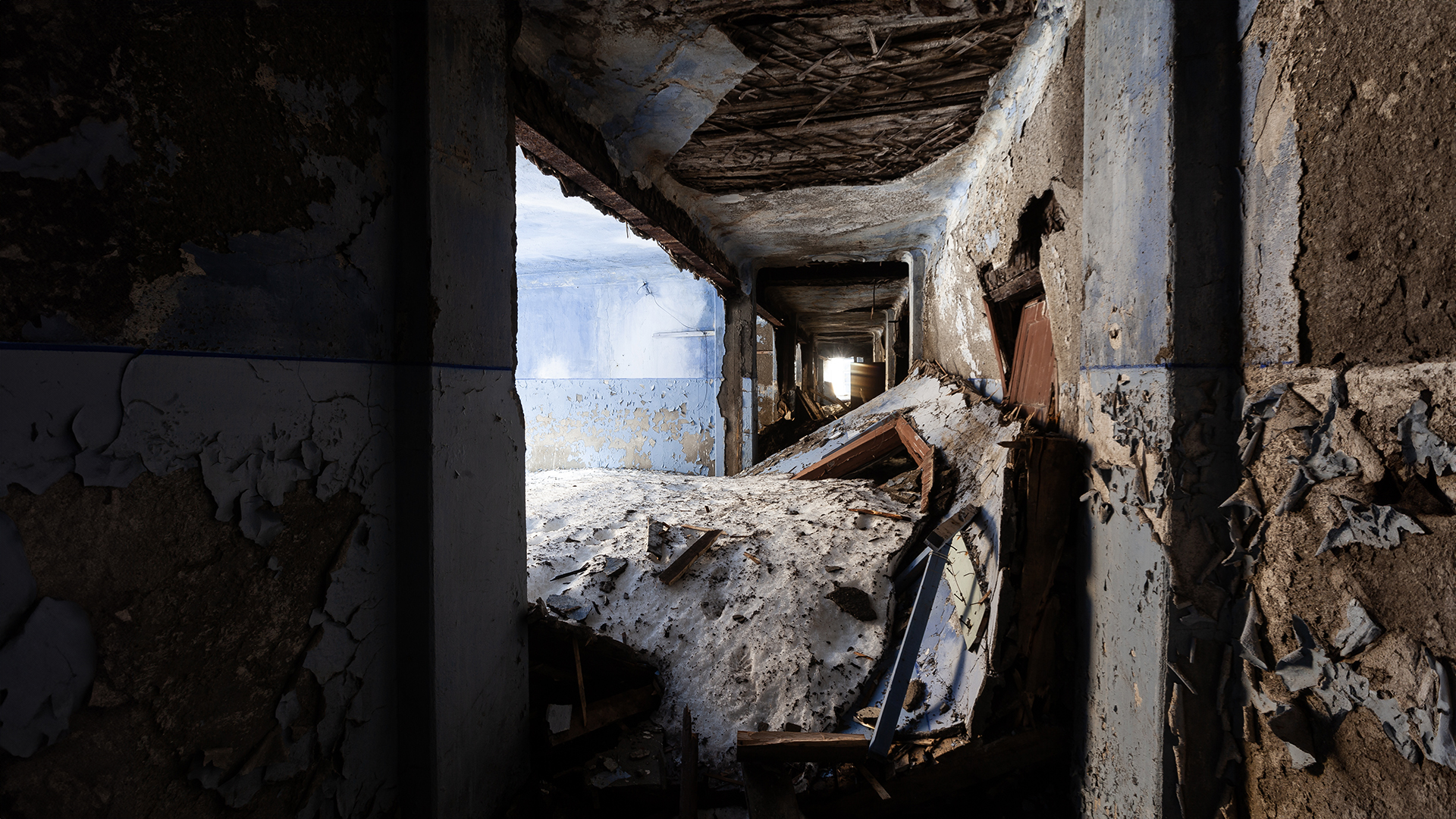
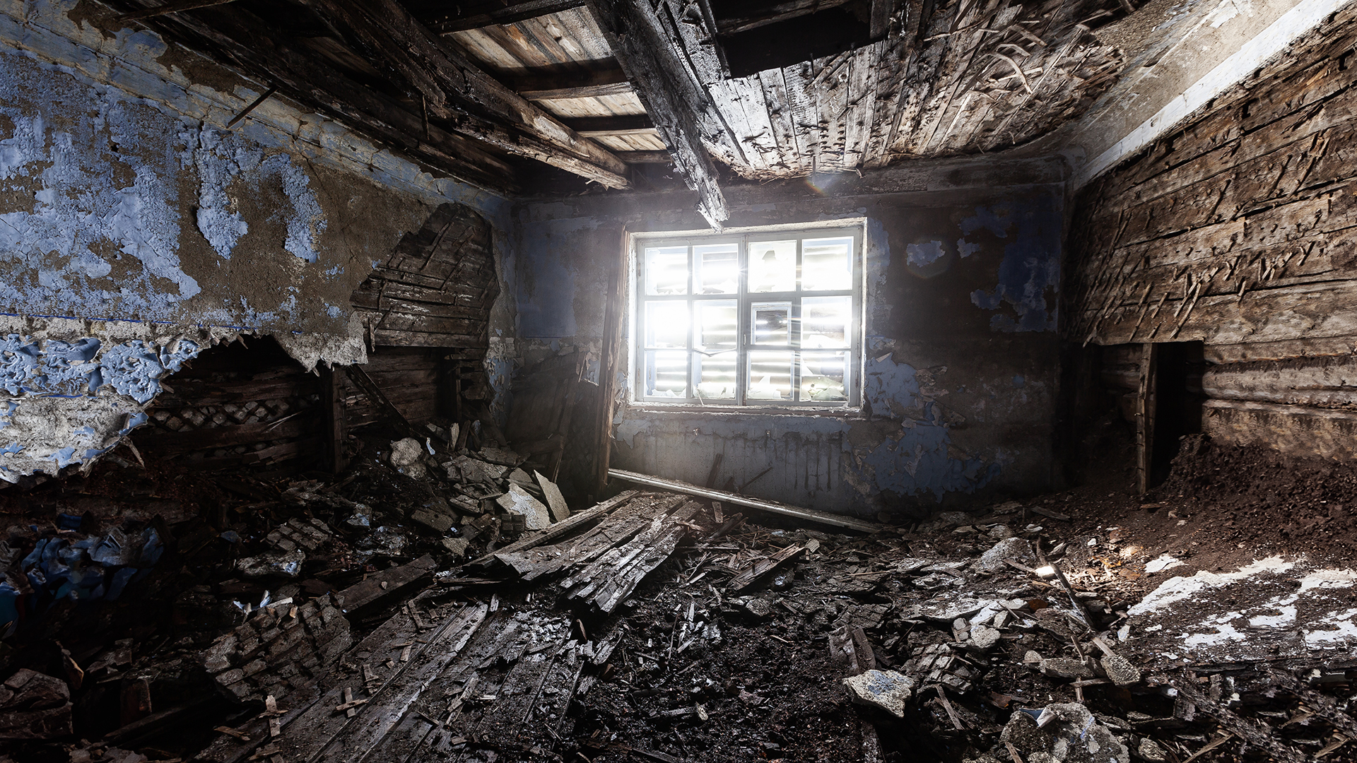
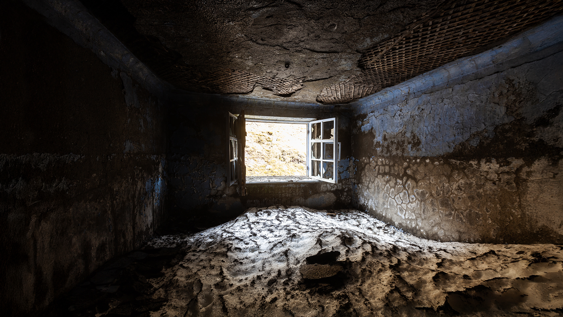
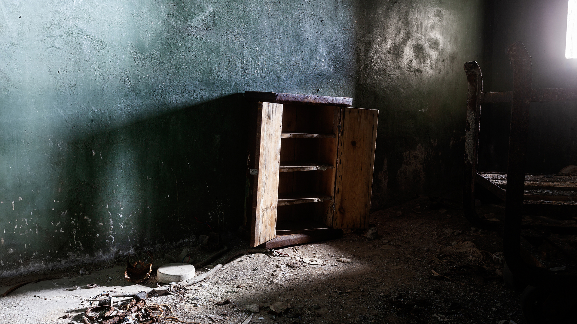
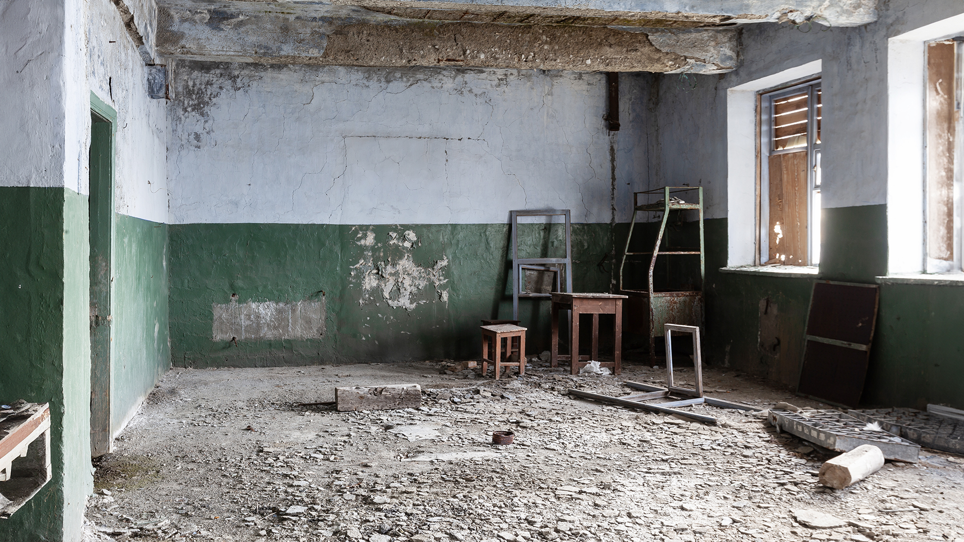
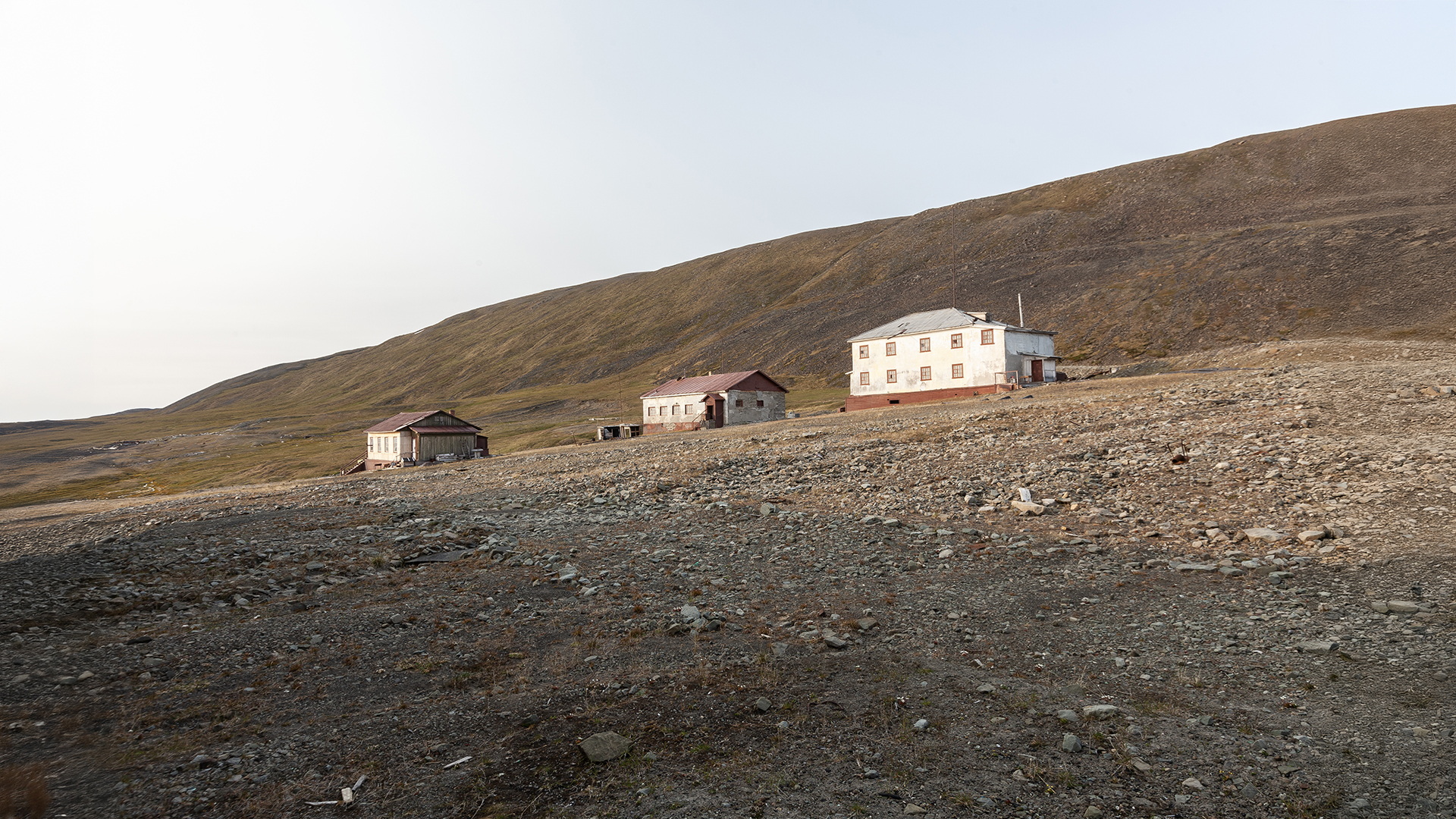
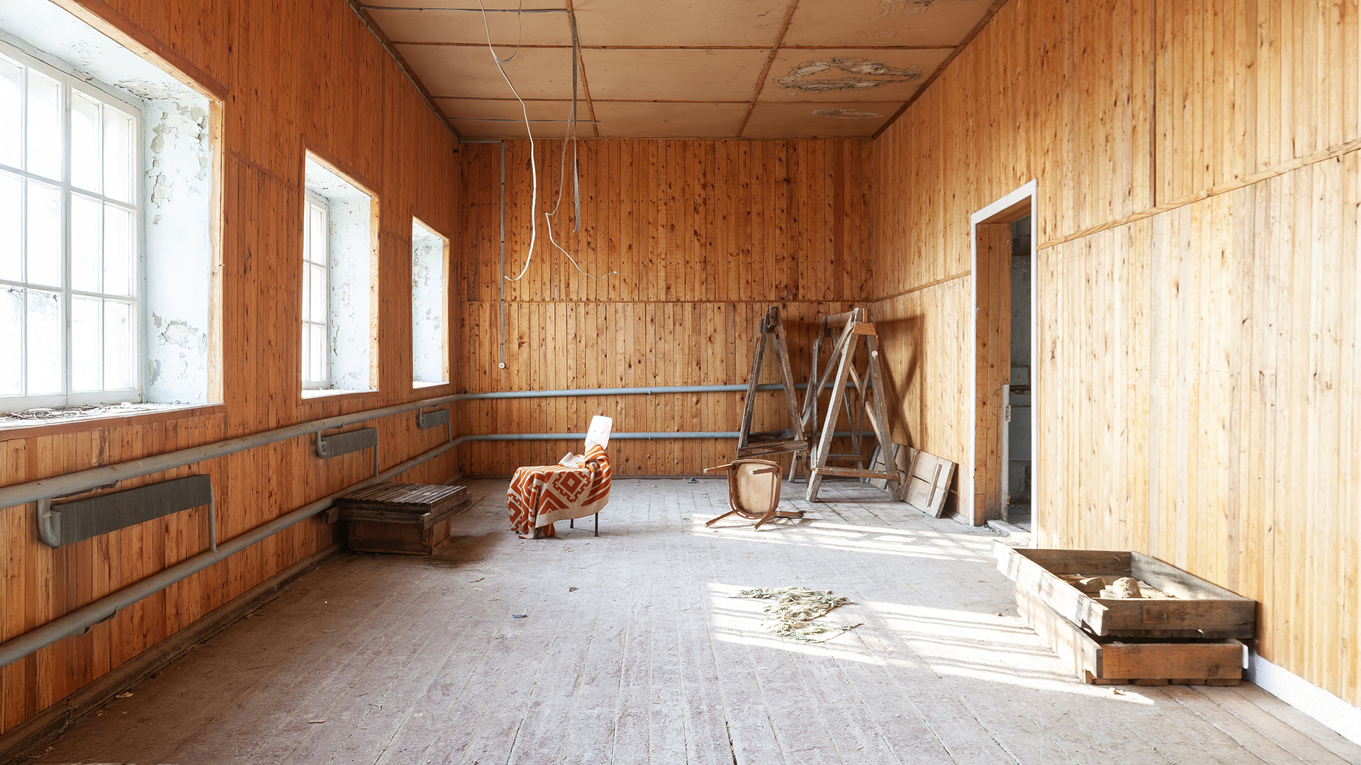
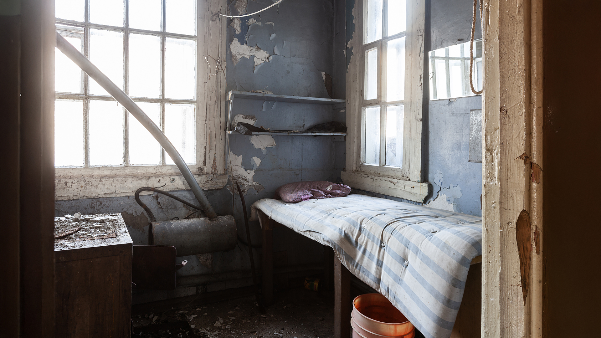
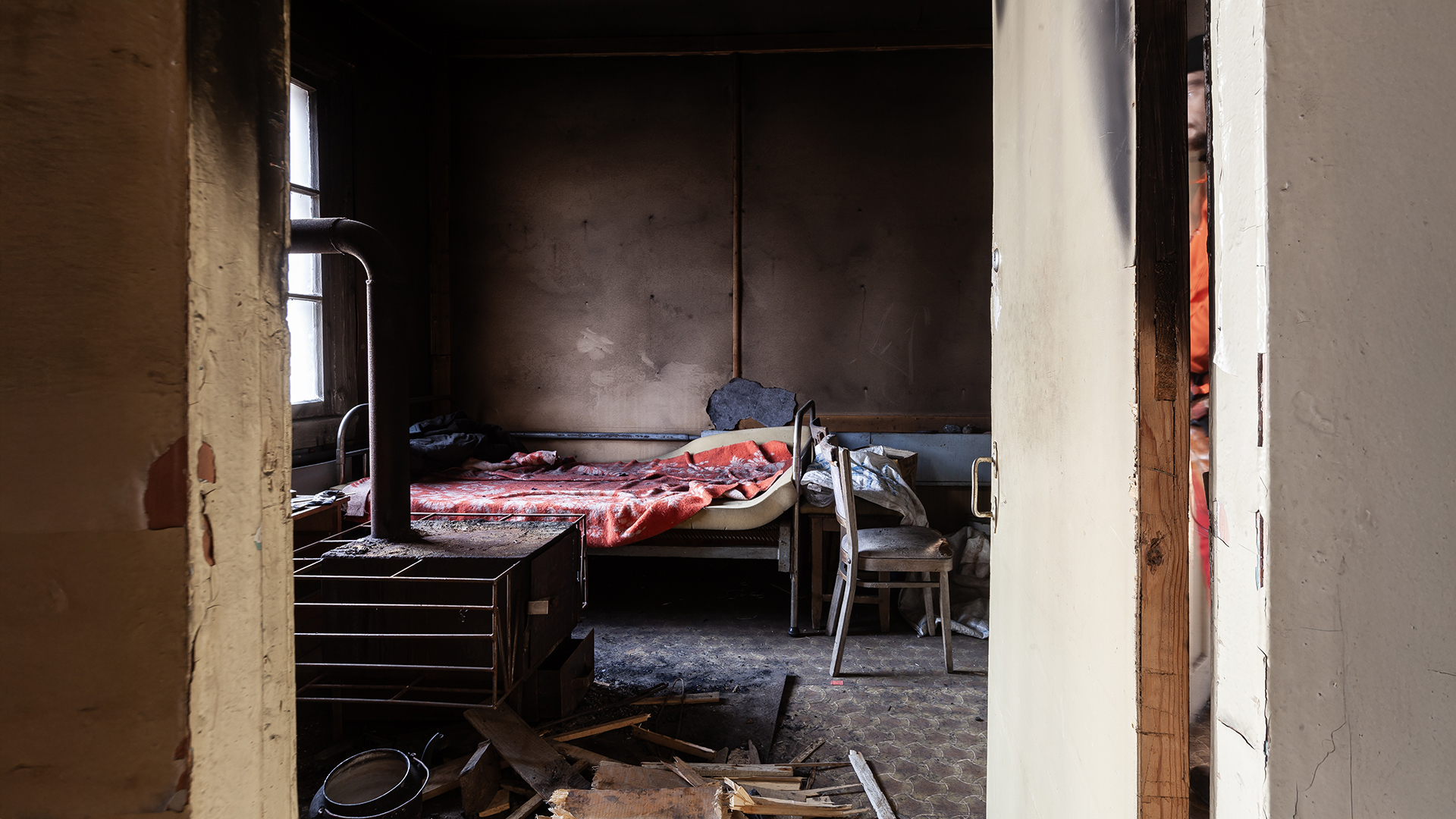
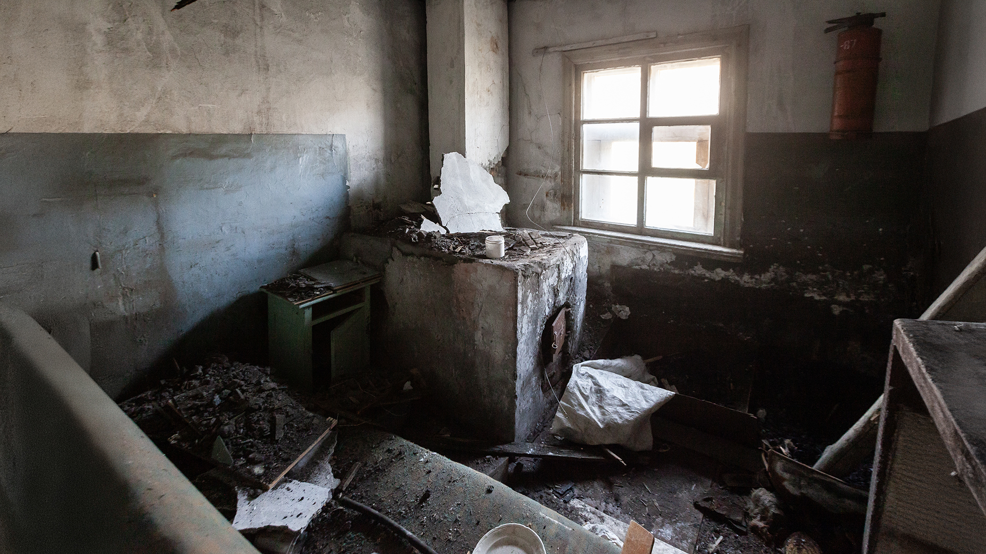
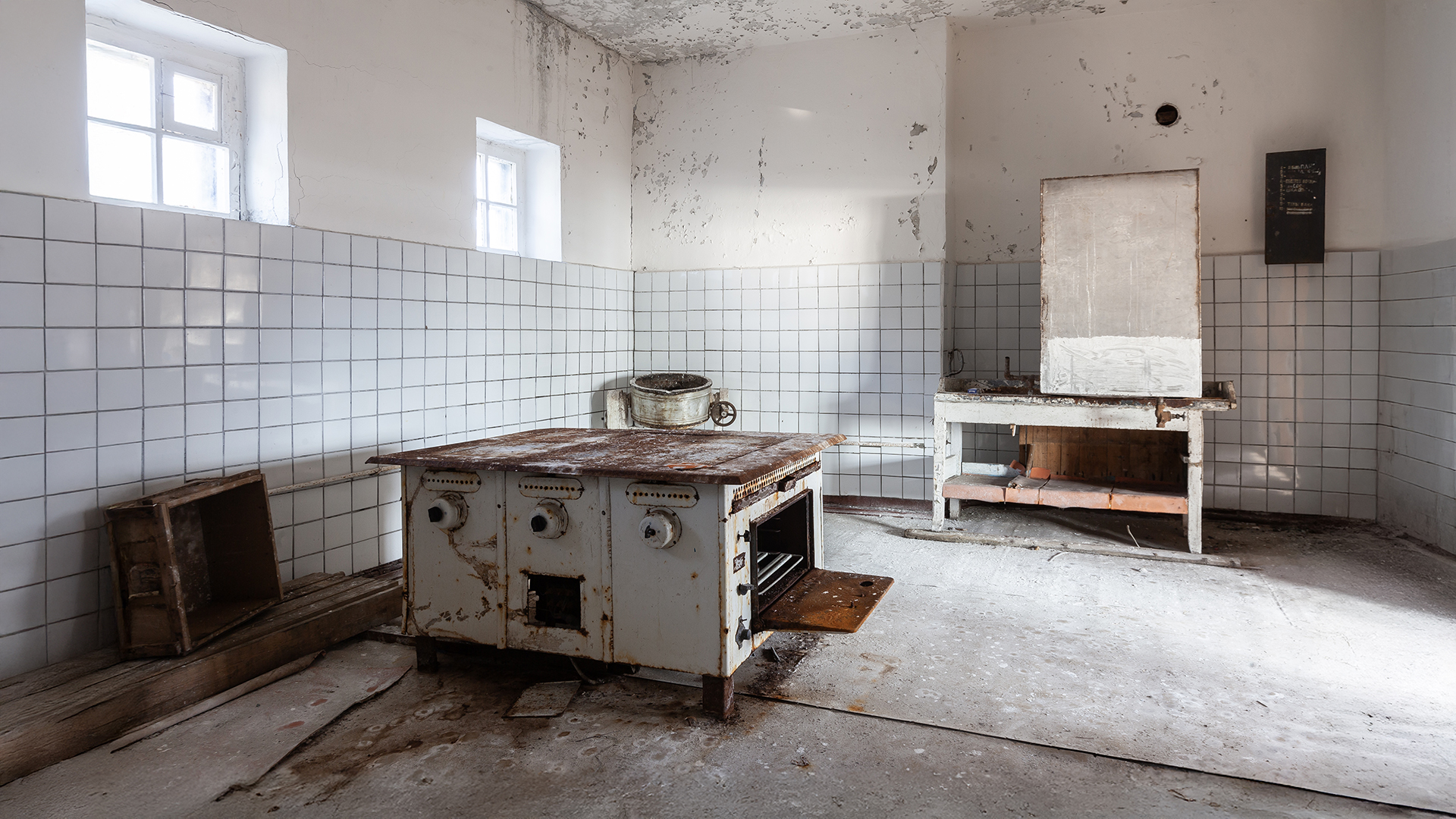
In contrast to the destroyed infrastructure and industrial buildings, the residential structures were still in surprisingly good condition. Some rooms even appeared as if they were still inhabited.
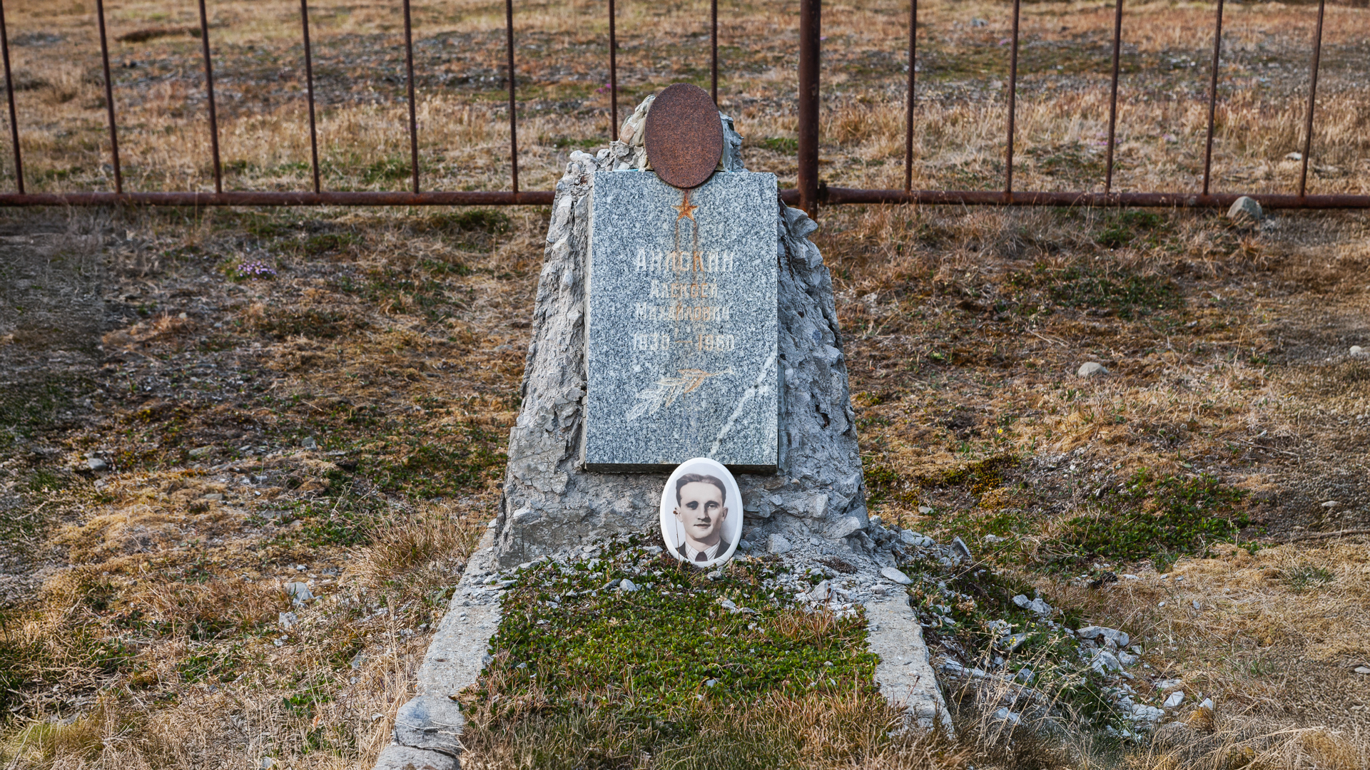
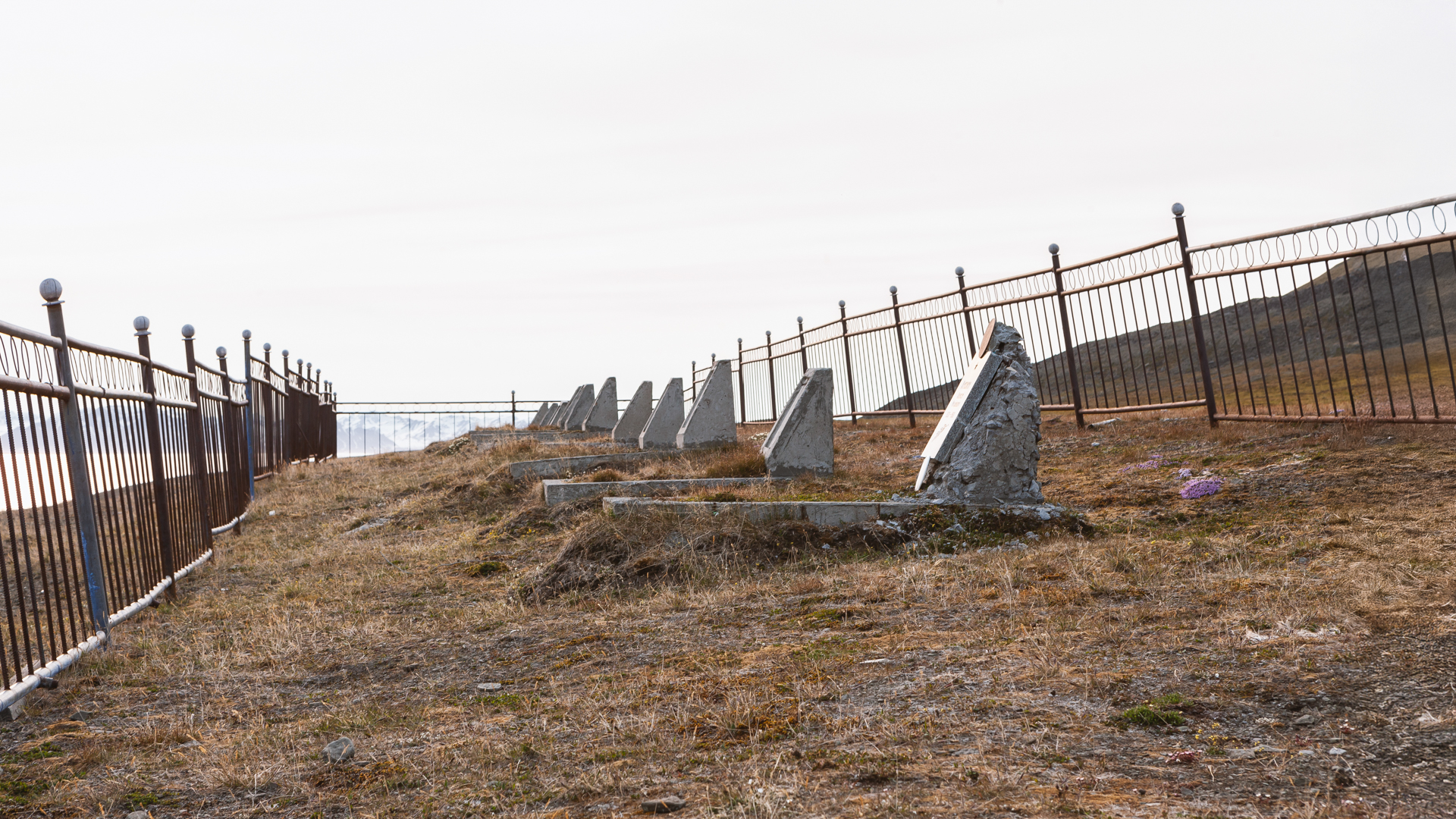
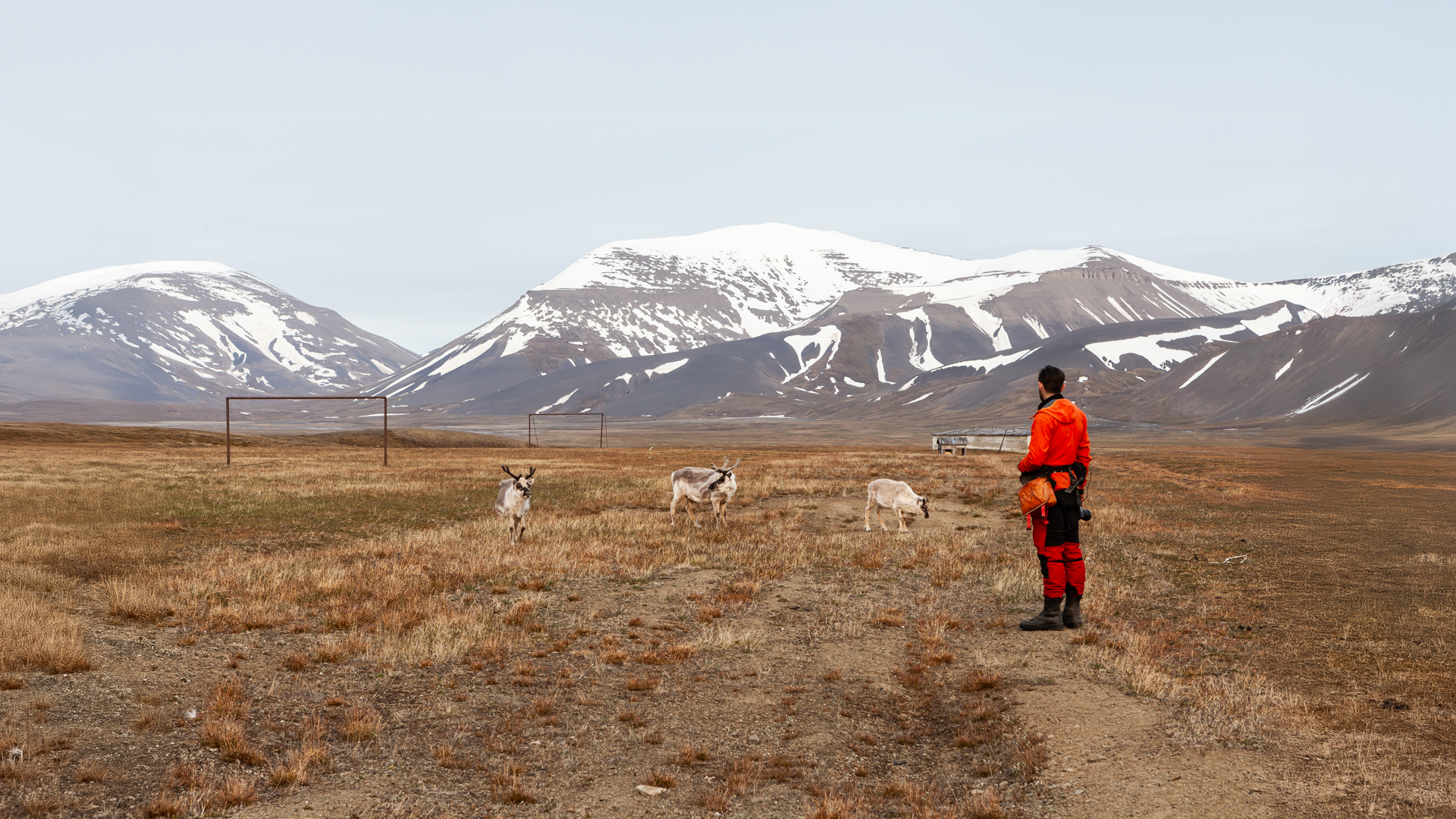
Apart from birds and reindeer, we encountered no living residents in this town—only some who had long since passed on. On the outskirts, we discovered an old cemetery. Here lie around 20 young coal miners who lost their lives in this remote corner of the world. Some gravestones bear images of the men buried here.
It’s a strange feeling to be buried in such an isolated place. Were they ever visited by loved ones? Or were they simply laid to rest here and left to the elements after their deaths? And then there’s this fact: the effort was made to dismantle industrial facilities, remove scrap metal, and transport mining equipment away—yet their comrades were left behind. Was this a conscious decision to respect their rest, or simply a harsh necessity?
I don’t know. But these thoughts will likely stay with me for a long time.
After spending four hours in Colesbukta, we decided to head back to our cabin. Originally, we had planned to rest before tackling the most challenging part of the route and to take more time exploring the area. However, the weather had gradually worsened over the past few hours. In the distance, we could see the clouds thickening steadily and moving in our direction. Not wanting to be caught in bad weather along the way, and with limited time before our scheduled return flight to Norway, we decided to set out directly toward Longyearbyen.
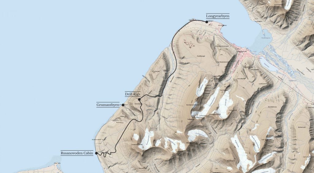
DEPARTURE FOR LONGYEARBYEN
Ahead of us lay 25 kilometers of terrain, with about 600 meters of elevation gain and descent. We would need to cross rivers, navigate through scree, mud, and snowfields. Only a portion of the route was familiar to us in detail.
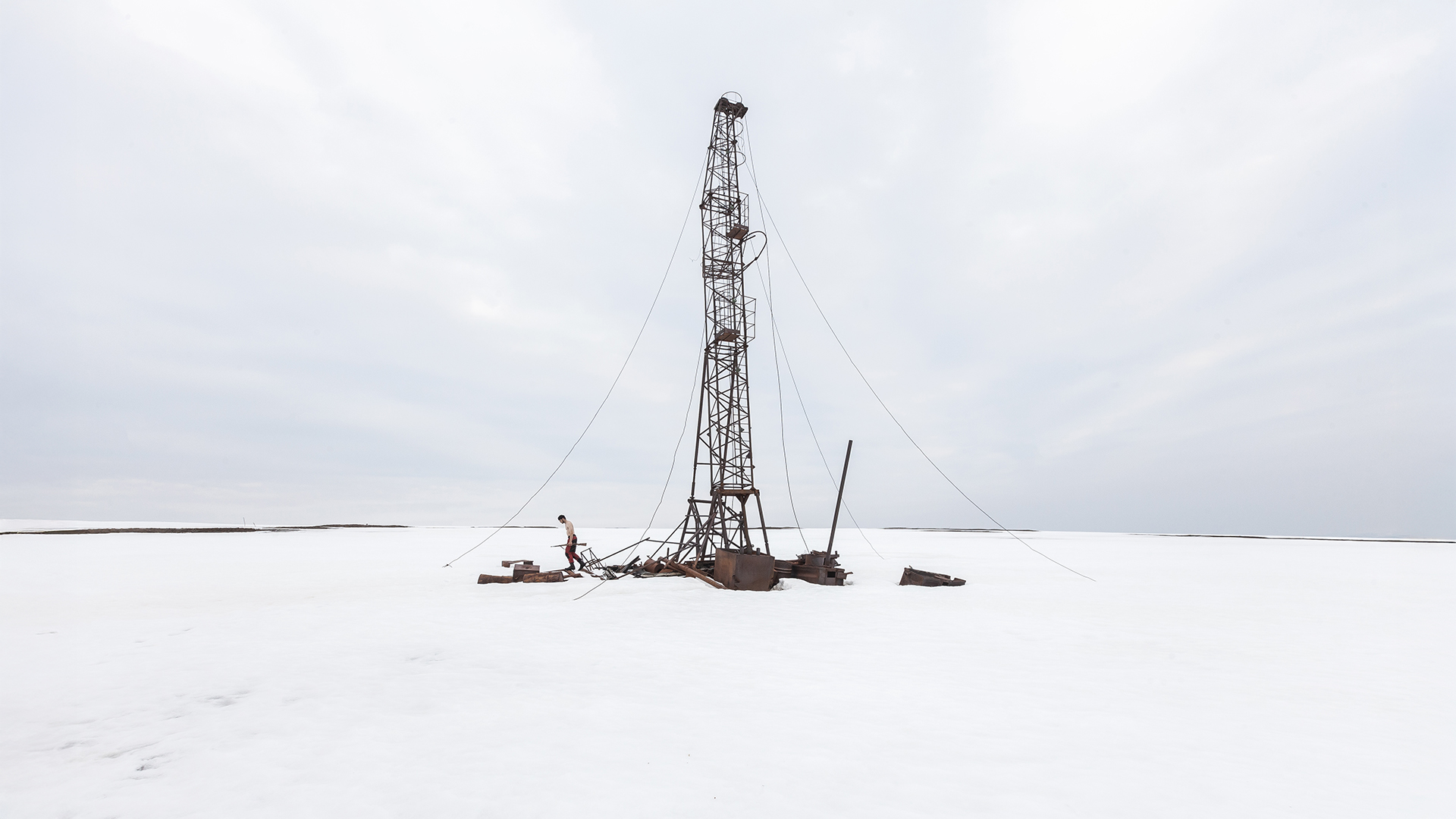
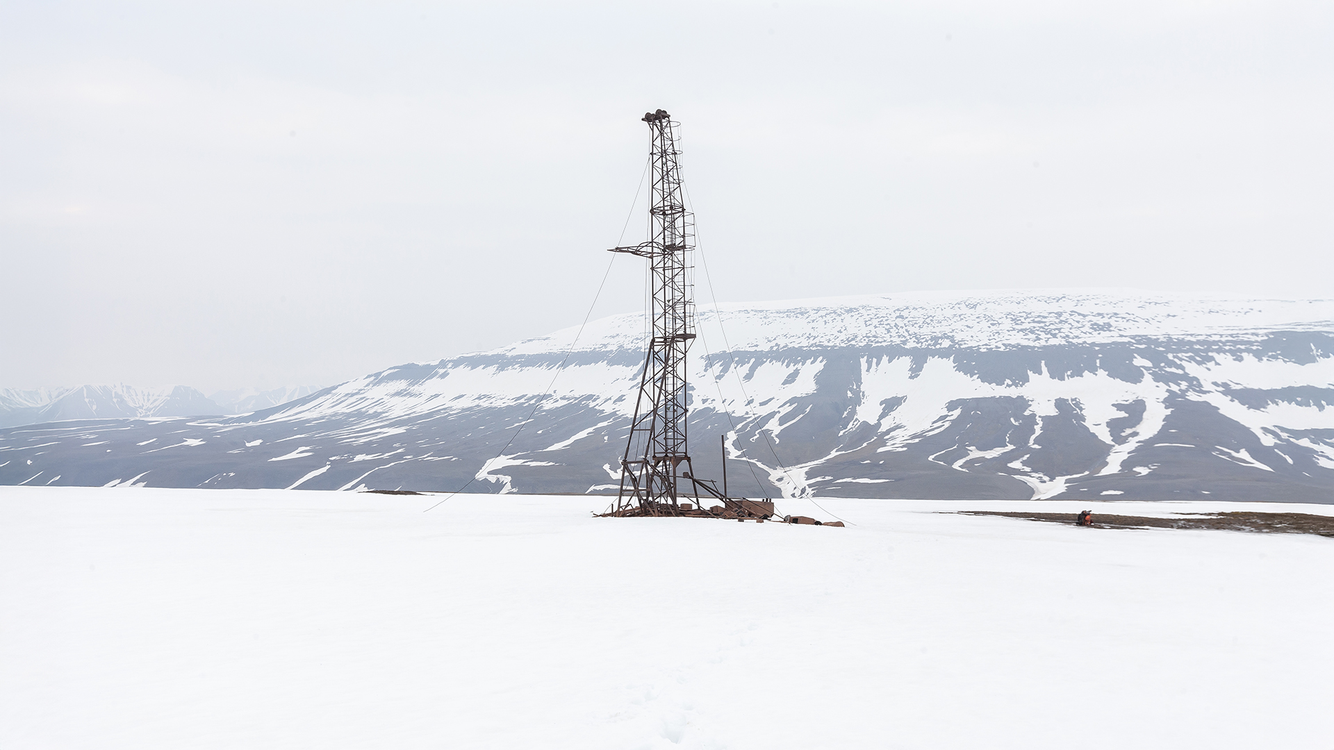
According to locals, there was an old path above Colesbukta left behind by Soviet miners using tracked vehicles many years ago. In the 1960s, they conducted numerous exploratory drillings in the region in search of coal deposits. The workers transported heavy equipment through the landscape, erected makeshift drilling stations, and left everything behind once their work was done.
The tracks left by these vehicles are still partially visible in the soft ground today and can even be seen in satellite images. Our plan was to follow these tracks for a good portion of the journey before finding a suitable descent from the plateau into the valley on the other side—the most uncertain and challenging part of the route. Even the locals couldn’t provide guidance here, as wind, weather, and snow levels change the landscape every year, leaving no fixed or clear paths. Once again, we would have to rely on ourselves—and a bit of luck.
After packing our gear and taking a short midday break, we set out around midnight toward Longyearbyen. Directly behind the cabin, the climb was steep, and we tried to locate the tracks left by the Soviet miners.
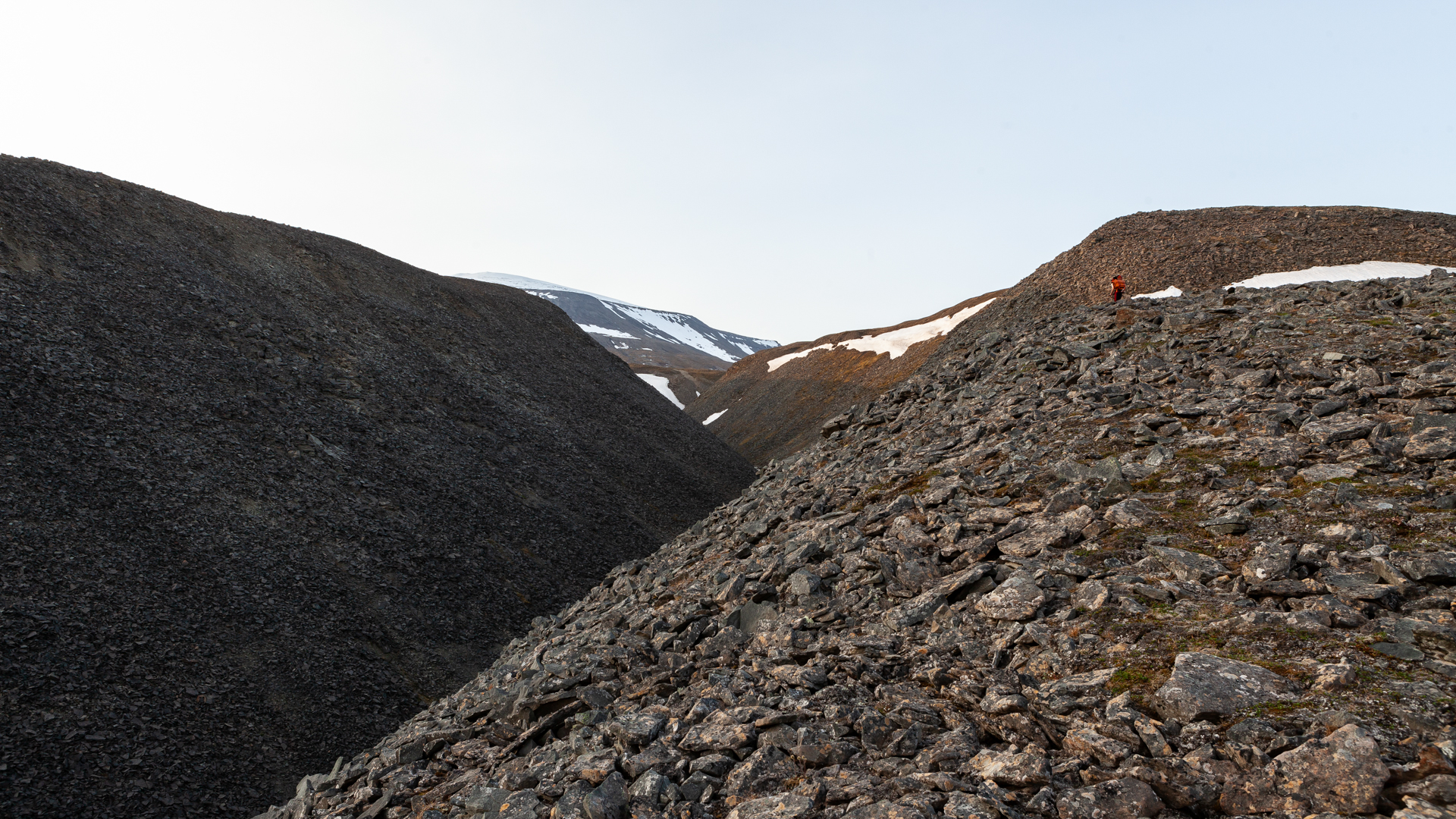
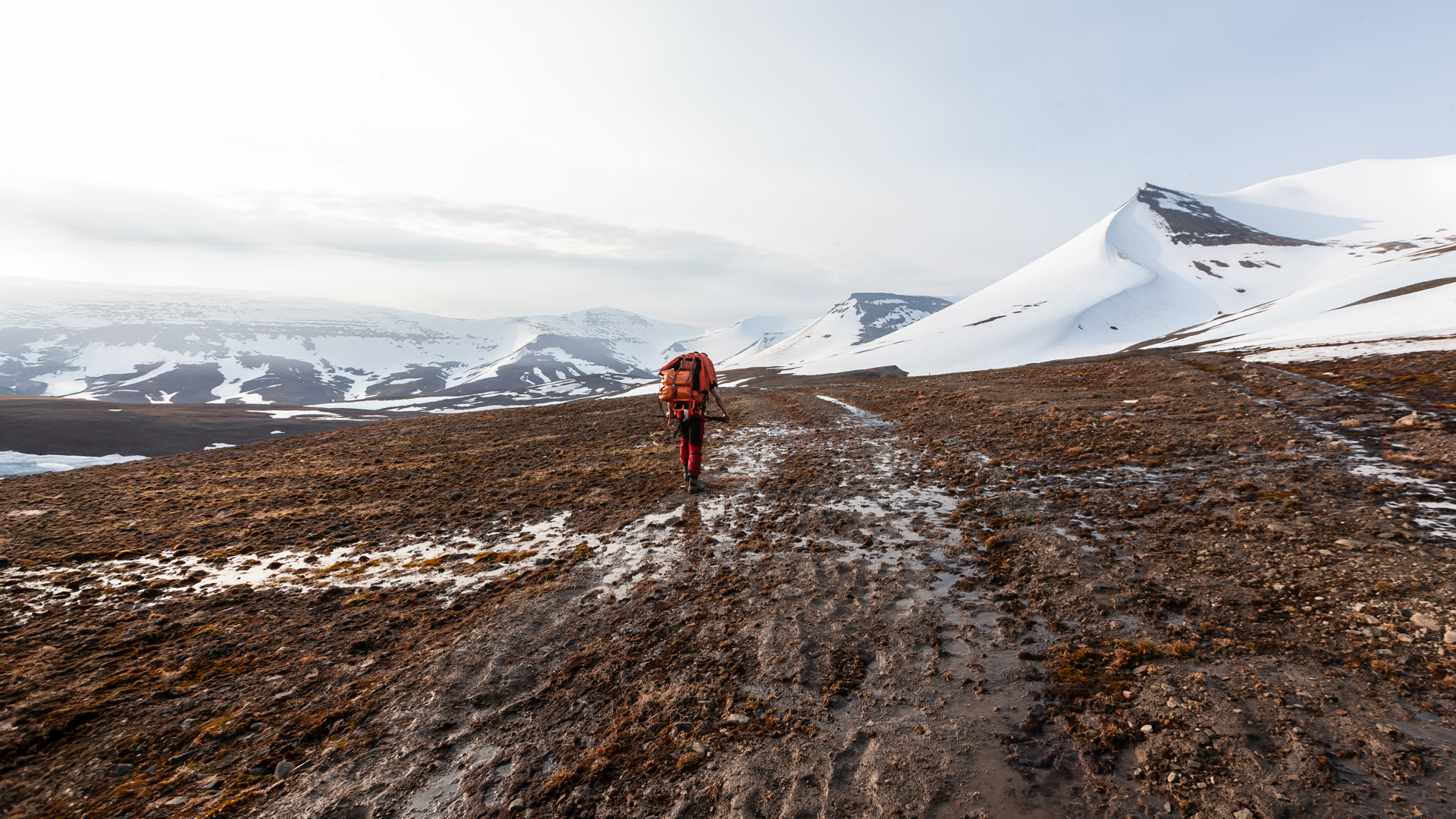
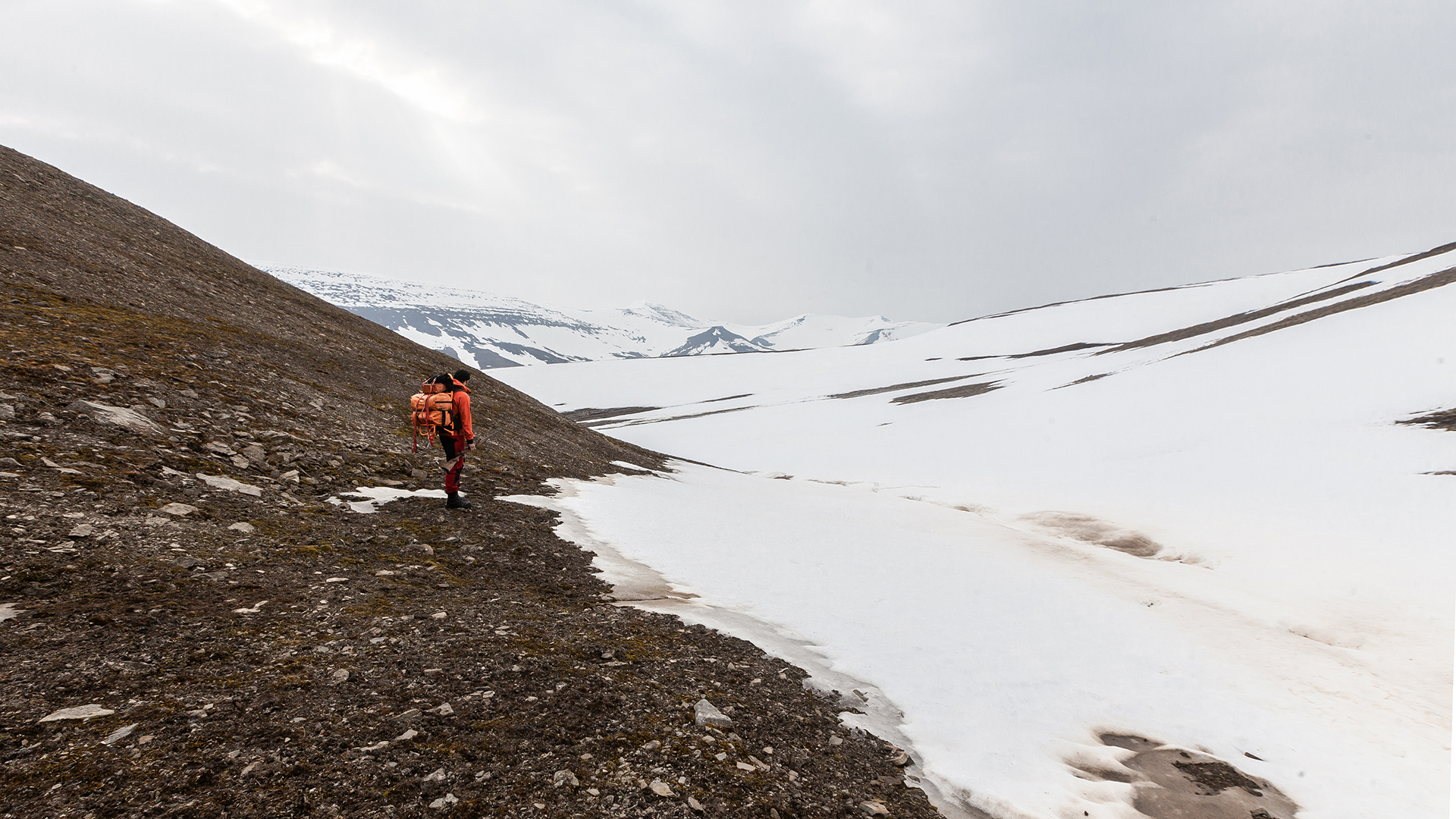
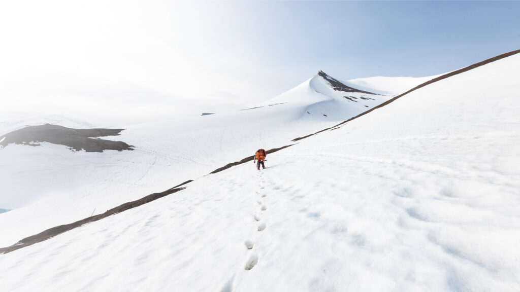
The mountainside next to our cabin was extremely steep, and what appeared from a distance to be solid rock turned out to be an unstable scree field. With 35 kilograms of gear on our backs and an 8-kilogram rifle in hand, the ground gave way with every step. We had to tread very carefully to avoid losing our footing. Walking on this surface was anything but pleasant.
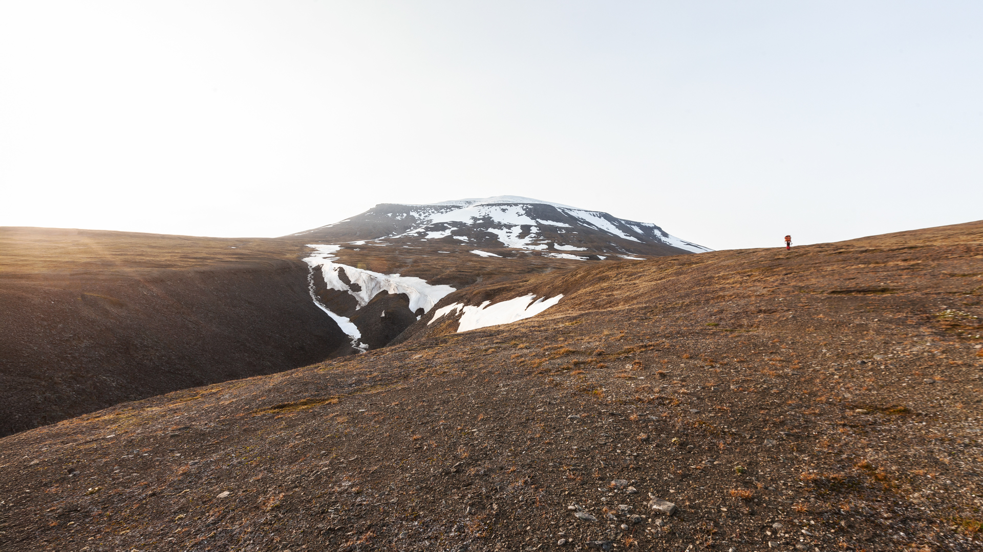
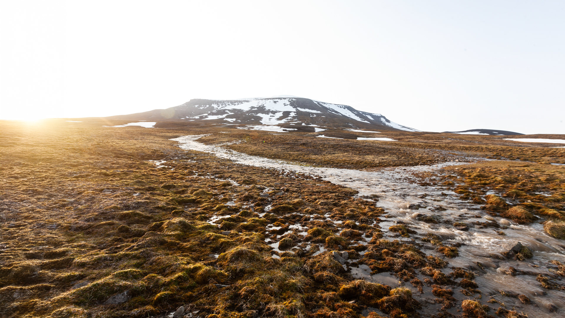
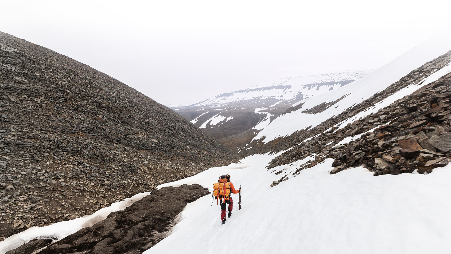
Nevertheless, we quickly gained altitude, and after about an hour, the terrain began to level out. The slope eased, but the ground turned into a wet, soft mudscape, crisscrossed by small streams and moraines. It took us about two hours to finally locate the old Soviet tracks. Unfortunately, they were just as muddy as the surrounding area—no relief in sight. We got stuck multiple times, and progress became increasingly exhausting and frustrating. Our pace slowed dramatically, our feet were soaked, and despite the almost surreal beauty of the landscape, our spirits sank noticeably.
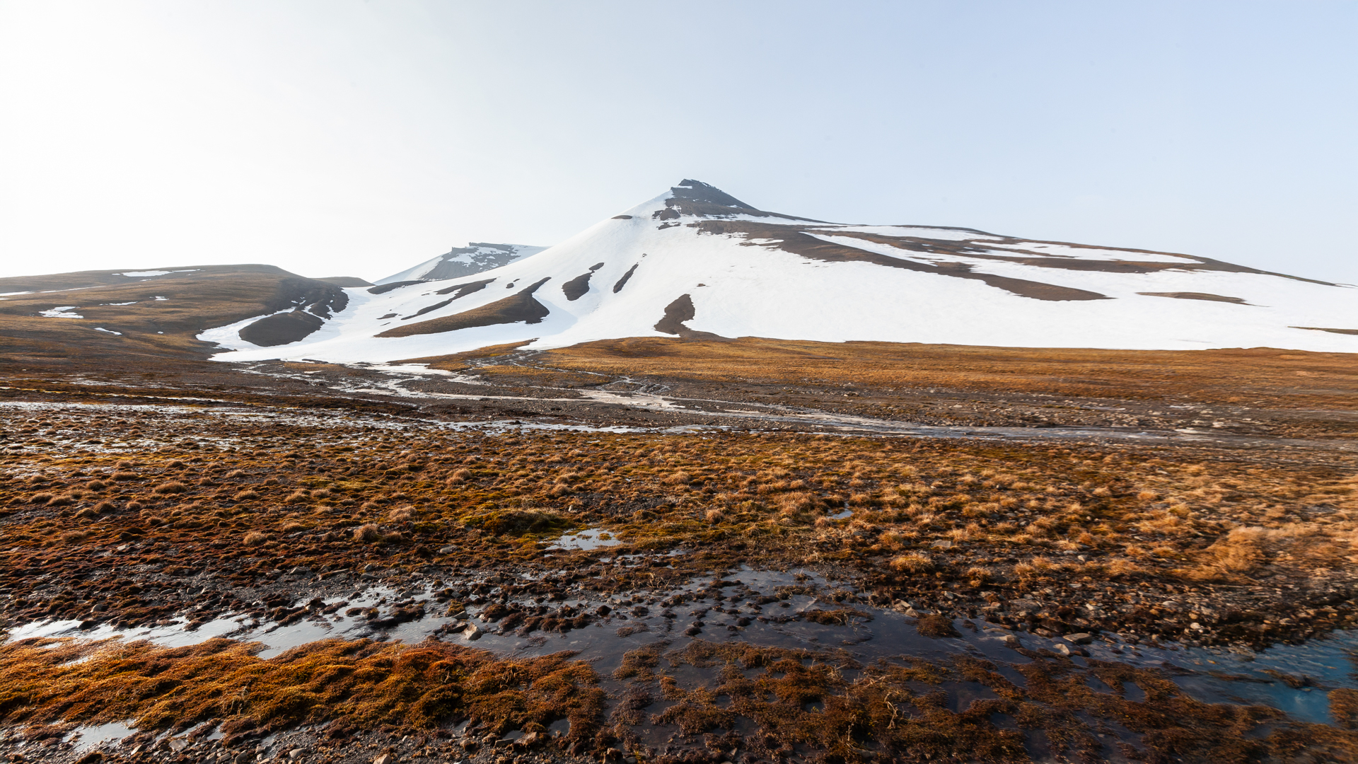
As we gained elevation, the temperatures dropped, and after a few kilometers, the tracks disappeared beneath a thick layer of snow. The transition from sinking into mud to sinking into snow was almost seamless—instead of muddy shoes, we now had cold, damp legs up to our knees. Yay…
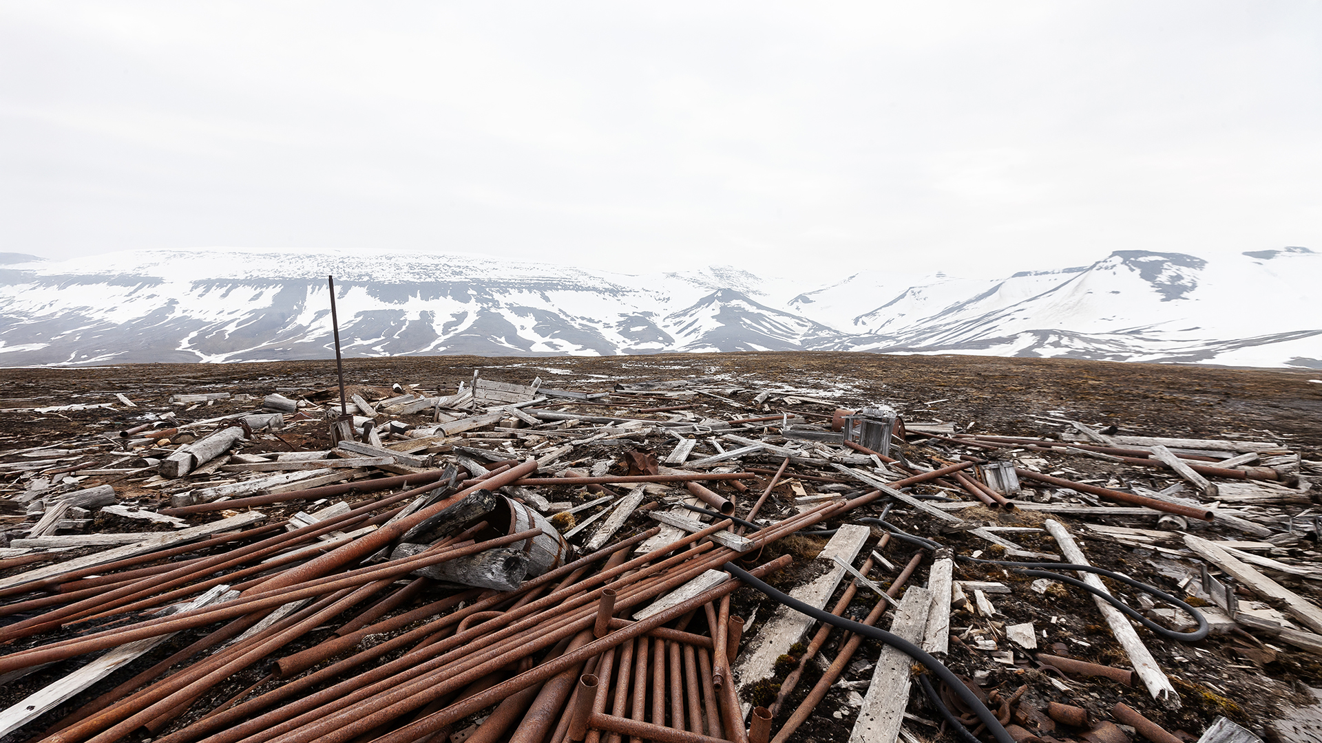
After about six hours of battling mud, snow, and cold, our spirits were at an all-time low. But everything changed when we finally spotted the first remnants of the drilling stations in the distance. Before us lay an expansive field of debris that immediately captured our attention. Most of the drilling equipment had collapsed over the years, with their parts scattered across the area by wind, rain, and melting snow. Yet, amid the chaos, one drilling station stood out, surprisingly well-preserved—a rare relic that piqued our curiosity.
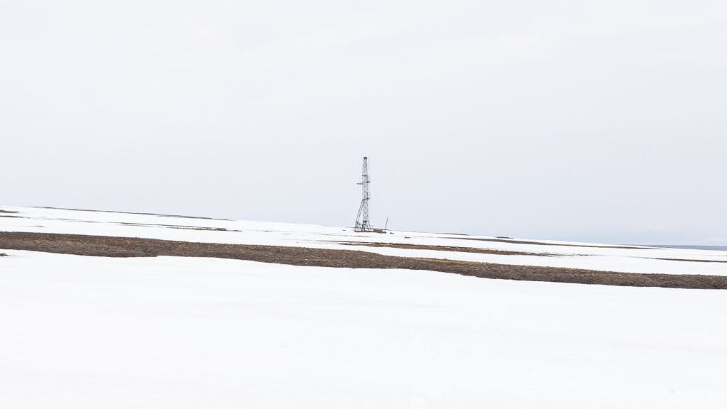
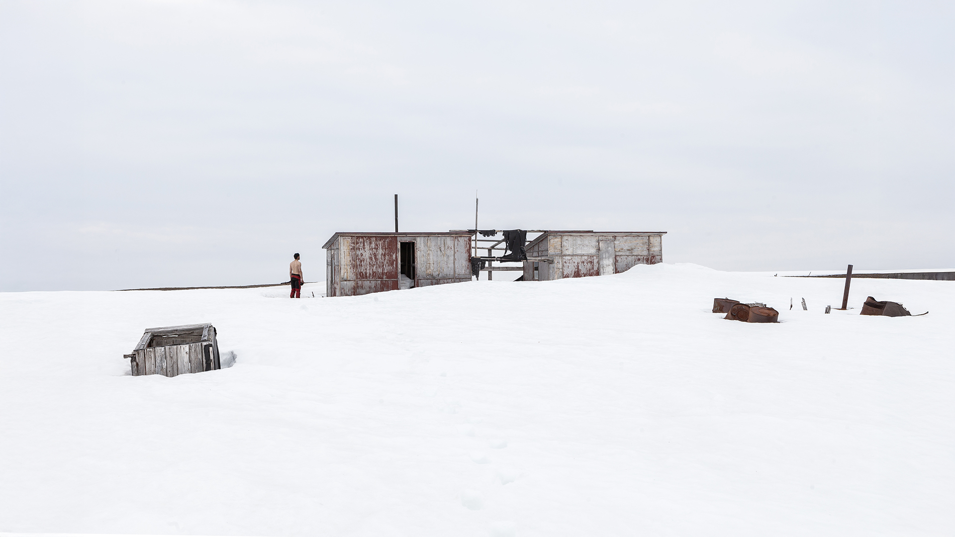
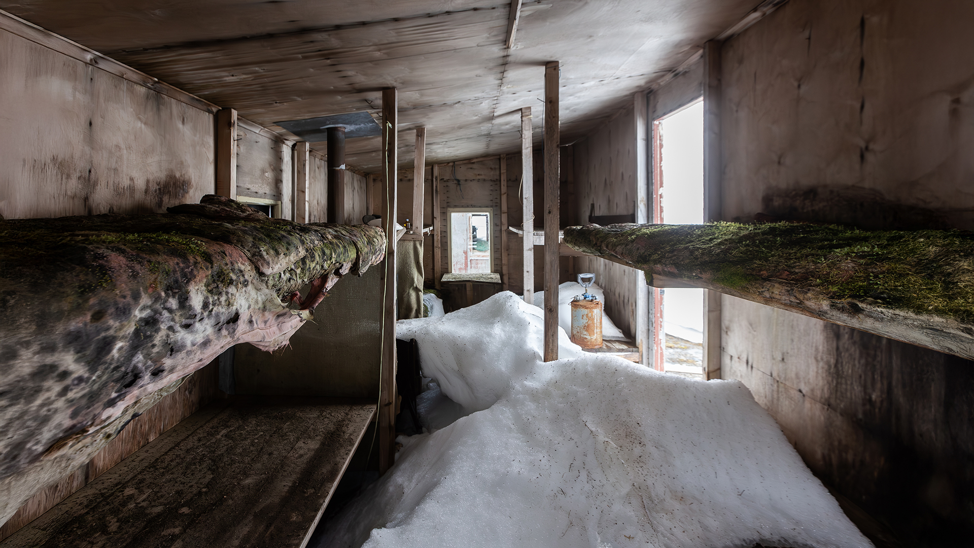
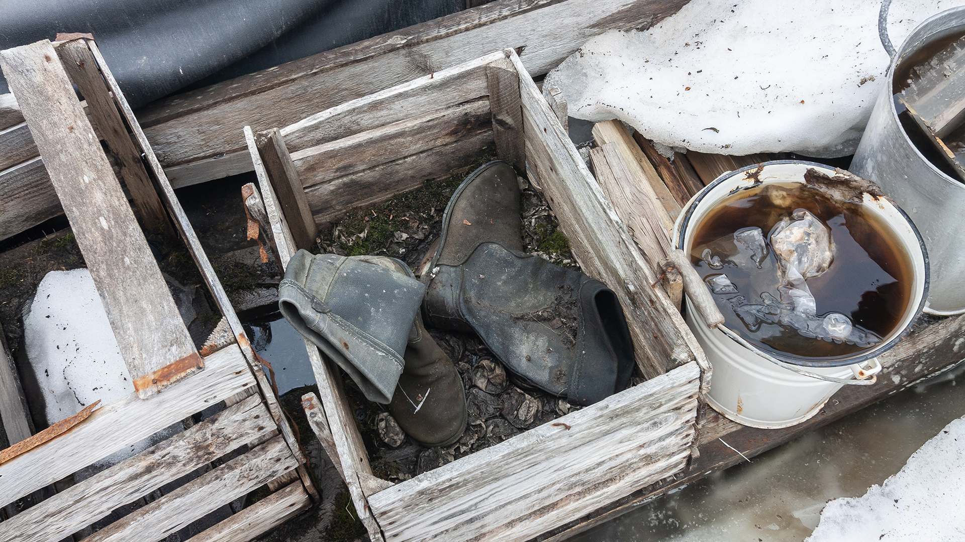
We approached the station, and for a moment, the bad weather, the cold, and the pains of the hike were all but forgotten. As we looked around further, we came across an old workers’ hut that was in surprisingly good condition. Inside the hut, we found tools, clothing, and even frozen food—preserved snapshots of a long-lost era. Our sense of discovery had fully taken over again, and the fascination with this abandoned place pushed the looming clouds on the horizon and the hardships of the past hours into the background.
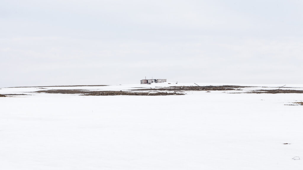
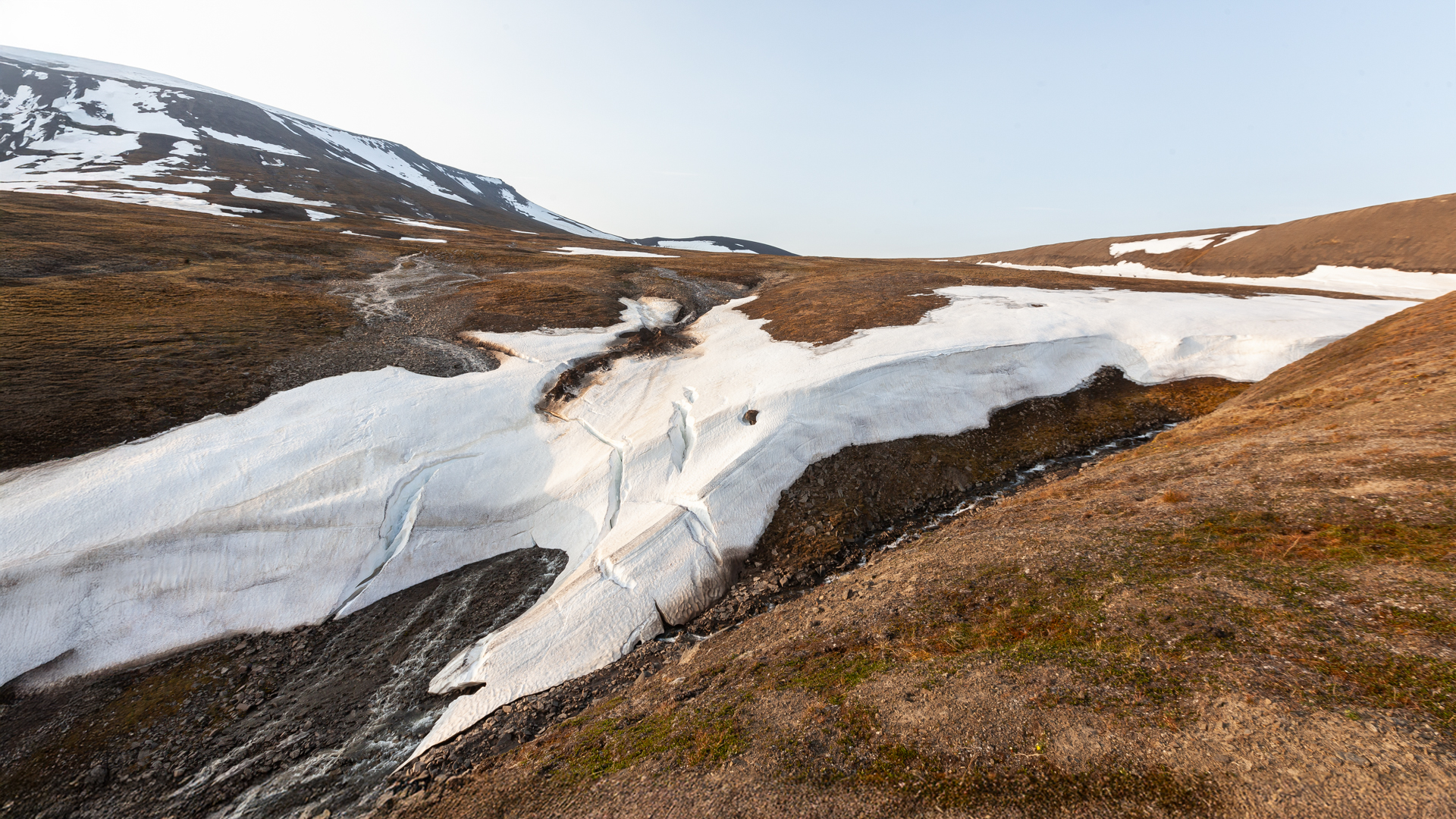
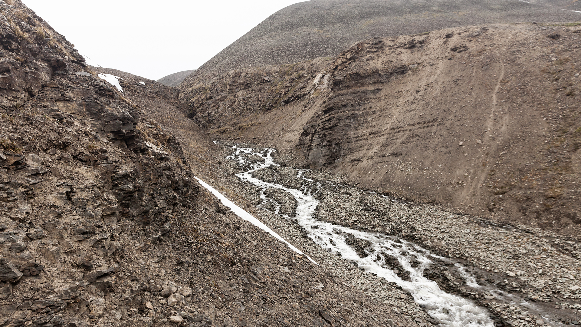
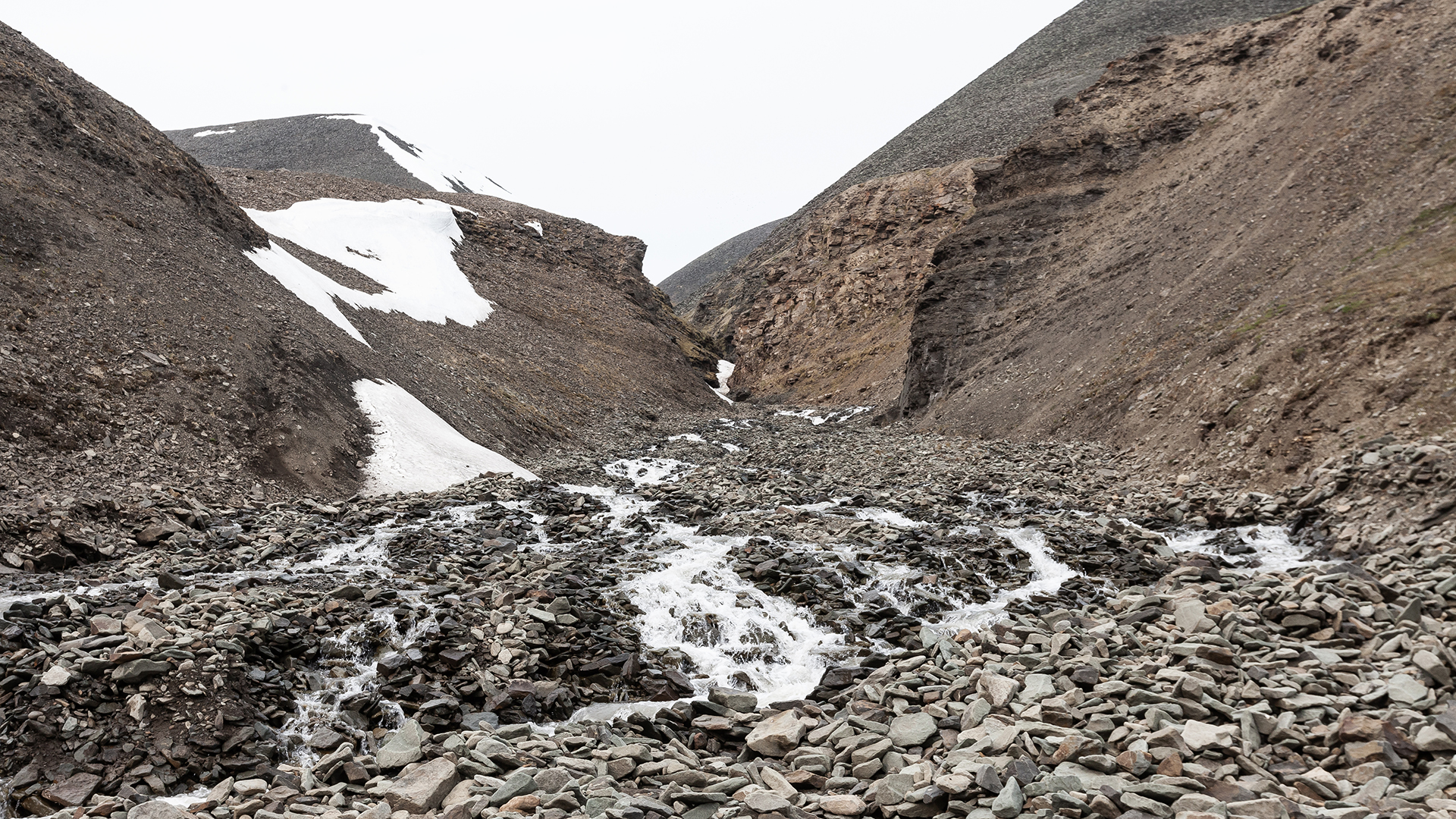
After exploring the drilling site, we took a one-hour break to eat and discuss the final part of our route. We rested in a large, snow-filled riverbed—a location recommended by a local as a possible spot to descend from the mountain plateau into the Bjørndalen Valley. However, the descent was extremely steep, and it was uncertain whether we could even make it down the riverbed to the valley. The terrain was characterized by steep sections, step-like rock formations, and waterfalls. We debated for a while whether the risk was worth taking. In the worst-case scenario, we might have been forced to turn back and climb all the way up again to find an alternative route. By then, the clouds had caught up with us, and the weather was deteriorating rapidly.
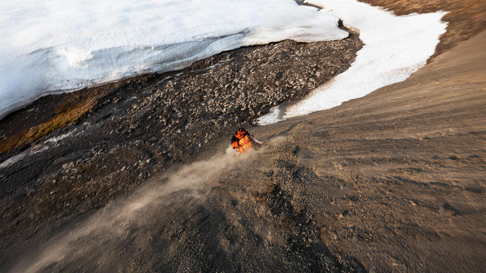
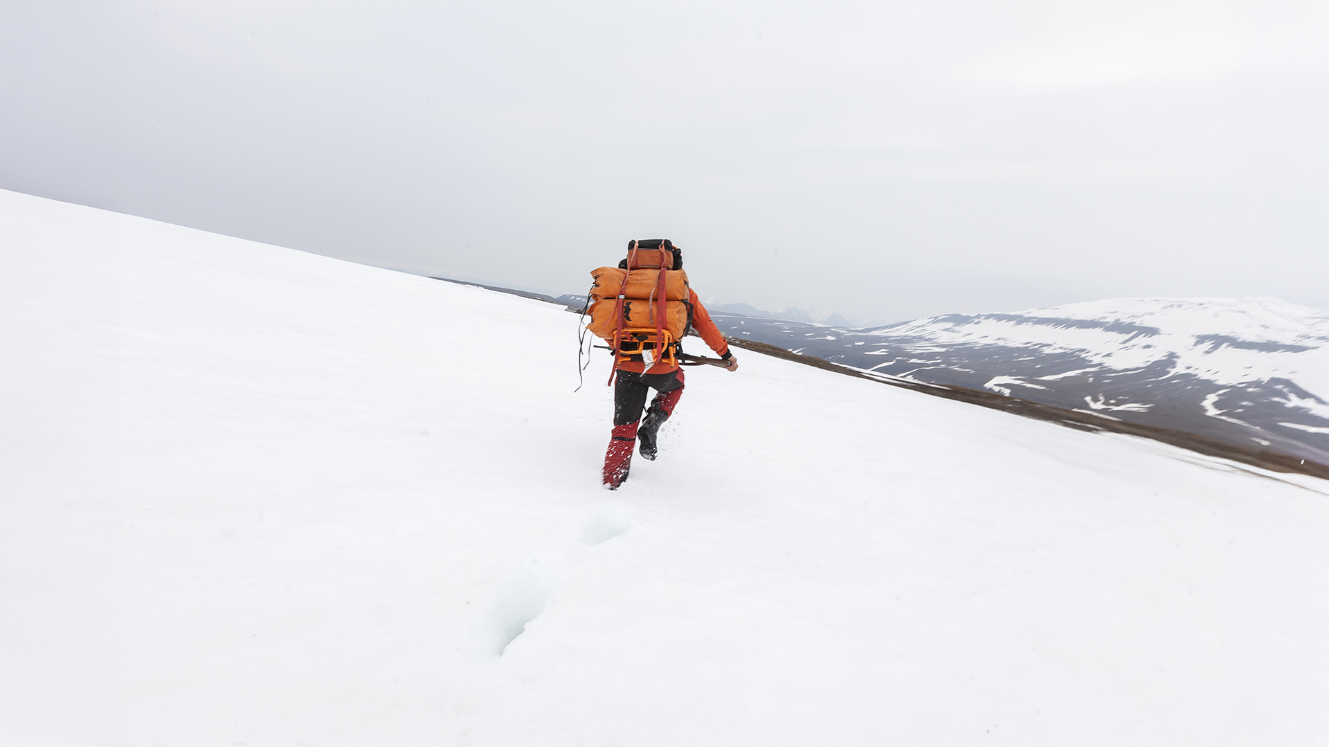
Eventually, we decided to attempt the descent and set out. The slope was extremely steep, and walking in the deep snow proved almost impossible. So, we opted for sliding as an alternative mode of movement—and surprisingly, it worked quite well. We slid down the riverbed for a while toward the Bjørndalen Valley, taking care not to pick up too much speed. This part of the hike was unexpectedly relaxing, and we covered a significant distance relatively quickly, as the gorge was still filled with plenty of snow.
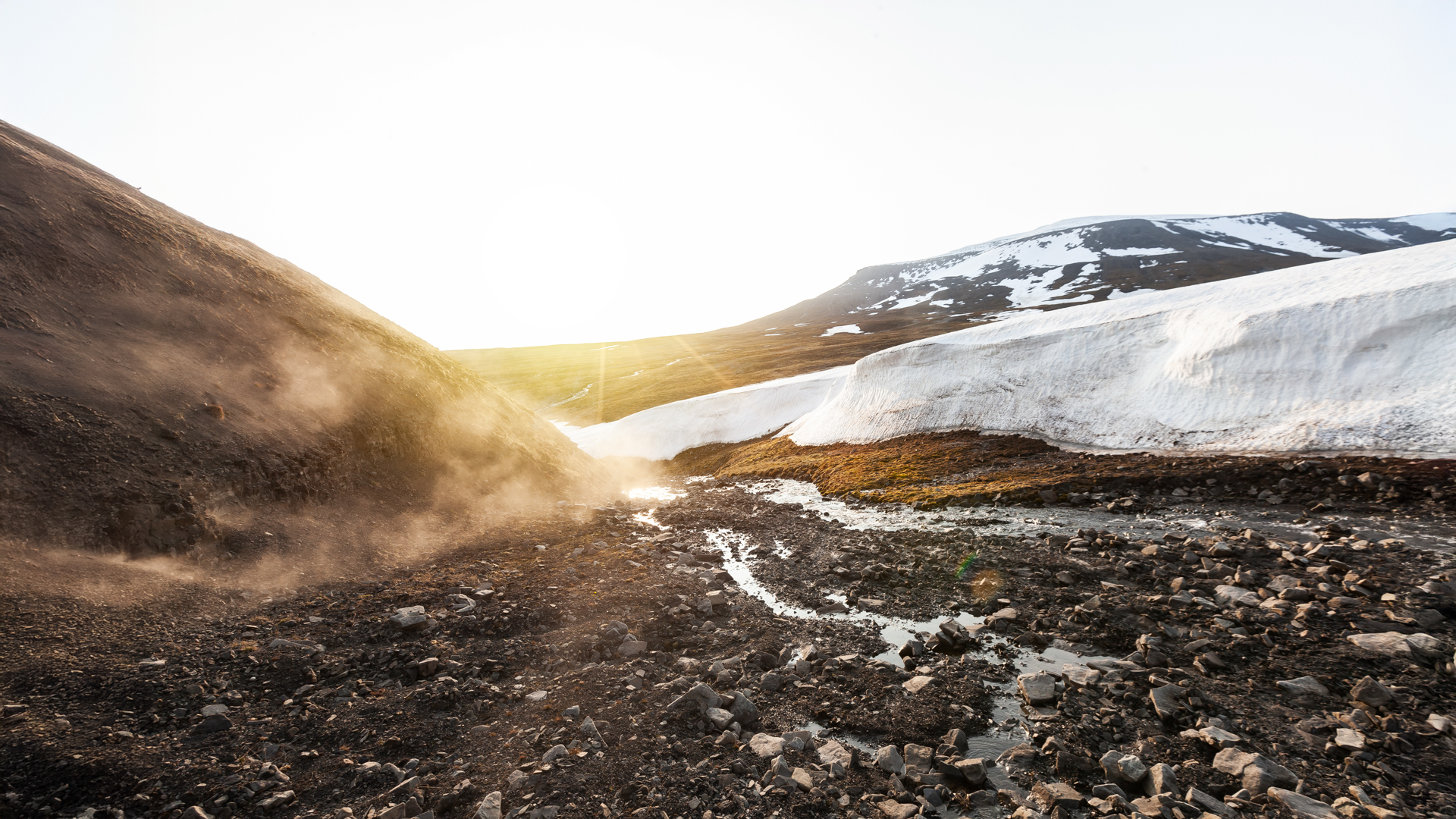
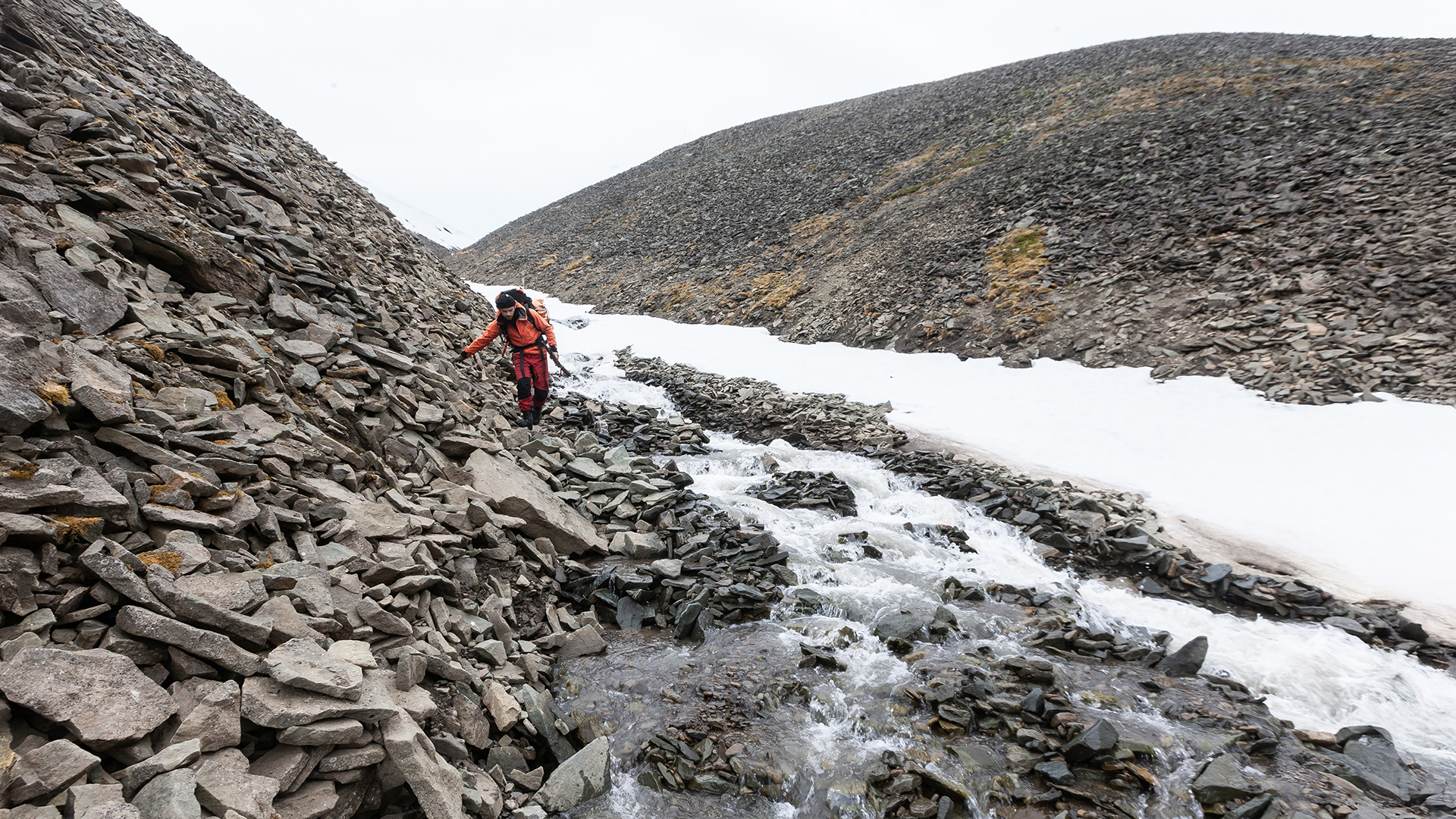
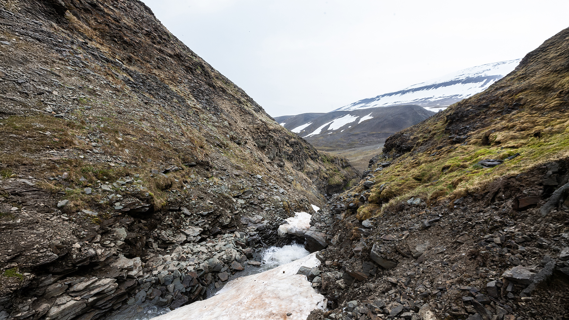
As we got closer to the valley, the temperatures rose, and the snow beneath us gradually turned into a rushing mountain stream. The wide riverbed narrowed into a steep, canyon-like gorge with loose scree slopes, which required our full attention.
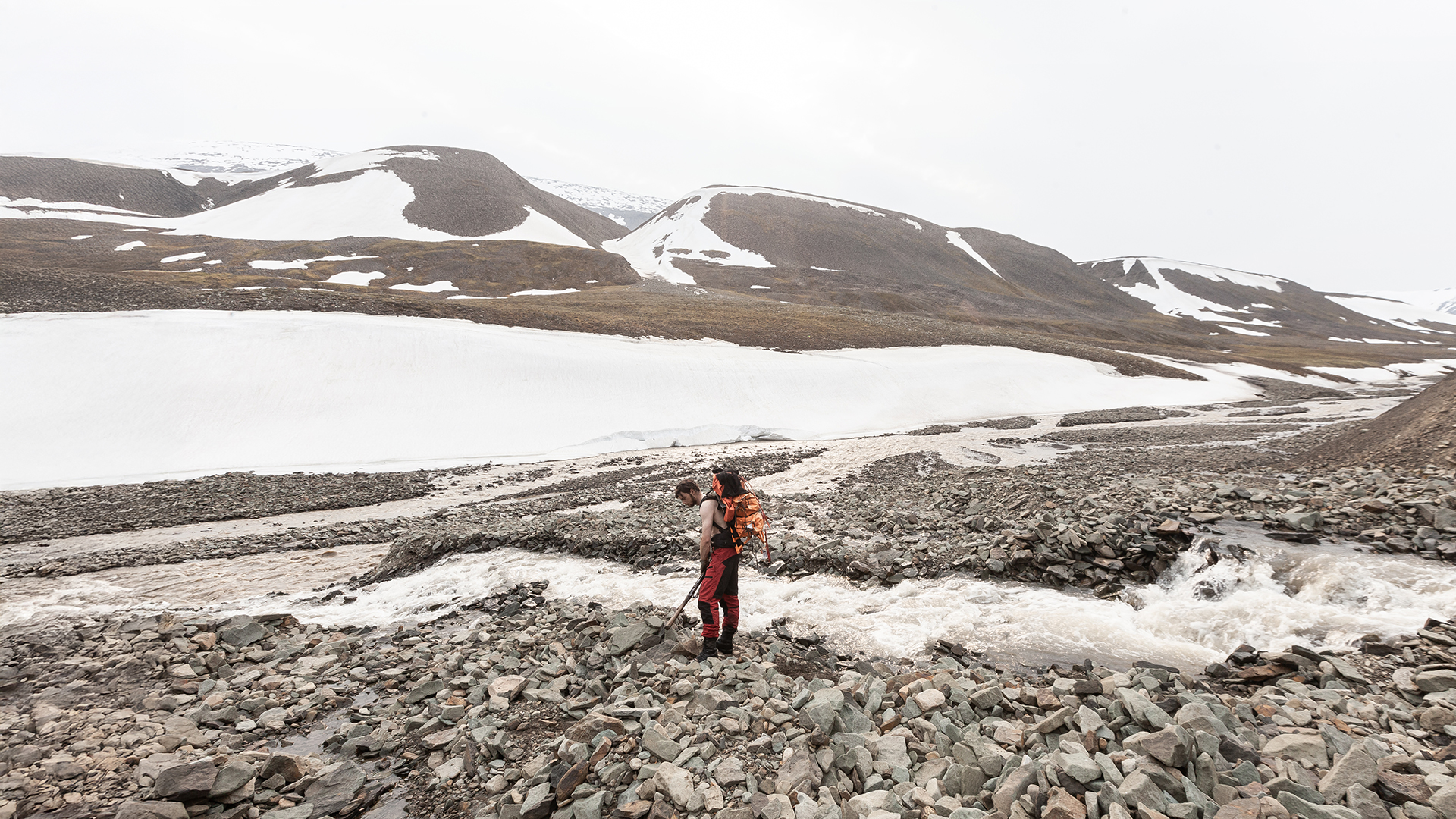
After about an hour—much faster than expected—we reached the Bjørndalen Valley. The relief was immense, but one final challenge awaited us: to reach our destination, Longyearbyen, 10 kilometers away, we had to cross the Bjørndalen River. Although the water was only about 50 centimeters deep, the current was strong. The rumble of stones being carried by the water was impressive, showcasing the power of the flow. After some searching, we found a suitable crossing point. Since we were already soaked up to our knees, it didn’t make much difference—after all, wetter than wet isn’t possible.
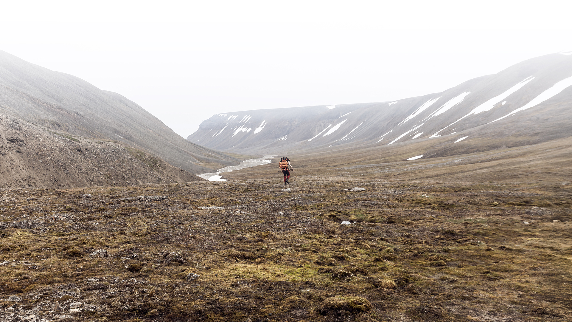
From there, the rest of the journey was comparatively easy. There were still a few smaller rivers to cross, but nothing that compared to the previous challenges. After more than twelve hours of hiking since leaving the Rusanovodden Cabin and over 20 hours on our feet, we finally arrived, exhausted, at the campsite in Longyearbyen. We pitched our tent and slept for almost 24 hours straight.
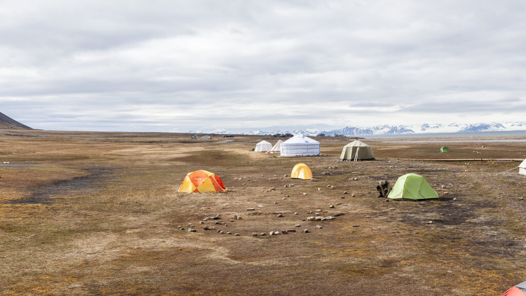
When we woke up, the world around us was shrouded in dense fog. Visibility was reduced to just a few meters. The bad weather front that had been on our heels during the hike had finally caught up with us—and the fog stubbornly refused to lift. For the next three days, everything came to a halt. Our return flight to Norway, along with all other flights, was canceled, and ships remained in the harbor. We didn’t even want to imagine what could have happened if the fog had caught us while we were still on the trail.
Once again, we had more luck than sense. As a final touch, our airline arranged for us to stay at the Radisson Blu Hotel in Longyearbyen while we waited for better weather and the resumption of flights. Real food, a proper bed, and the chance to take a shower felt like a dream come true at that point in our journey. It was the perfect conclusion to an incredible two-month adventure. Despite our initial doubts, we were glad we had embarked on this journey and seen it through to the end.
A heartfelt thank you goes to Spitsbergen Travel, the Sysselmannen, Marcel Schütz, and everyone else who supported us during this trip.
Arctic Coal Episode Index
Sources and Links
History:
- Grumant – Wikipedia: An overview of the history of the abandoned mining settlement of Grumant on Svalbard.
Wikipedia - Colesbukta – Wikipedia: Information about the history of Colesbukta Bay and its significance in coal mining on Svalbard.
Wikipedia - Arktikugol – Wikipedia: Details on the Russian mining company Arktikugol and its activities on Svalbard.
Wikipedia - Grumantbyen – Spitsbergen | Svalbard: An article about the history and current state of Grumantbyen.
Spitsbergen Svalbard - Grønfjord and Colesbukta in Isfjord, Spitsbergen | Svalbard: Information about the Grønfjord and Colesbukta region, including its historical significance.
Spitzbergen
Tourism:
- Fjord Cruise towards Billefjorden & the Nordenskiöld Glacier – HTG: Fjord cruise to Billefjorden and the Nordenskiöld Glacier.
Visit Svalbard - Boat Trips – Visit Svalbard: Overview of various boat tours on Svalbard, including tours on the Billefjord.
Visit Svalbard - Fjord Cruise to Nordenskiöld Glacier & Pyramiden – Discover Svalbard: Fjord cruise to the Nordenskiöld Glacier and the abandoned town of Pyramiden.
Discover Svalbard - Spitsbergen/Svalbard: Hiking Adventures: Hiking tours on Svalbard, including routes from Longyearbyen to the ghost town of Pyramiden.
Spitzbergen Entdecken
Marcel Schütz:
- Svalbard Photography: Tours by Marcel Schütz: Overview of tours offered by Marcel Schütz on Svalbard.
Vega Expeditions - Svalbard Photography by Marcel Schütz: Official website of Marcel Schütz with information about his photography offerings on Svalbard.
Svalbard Photography
